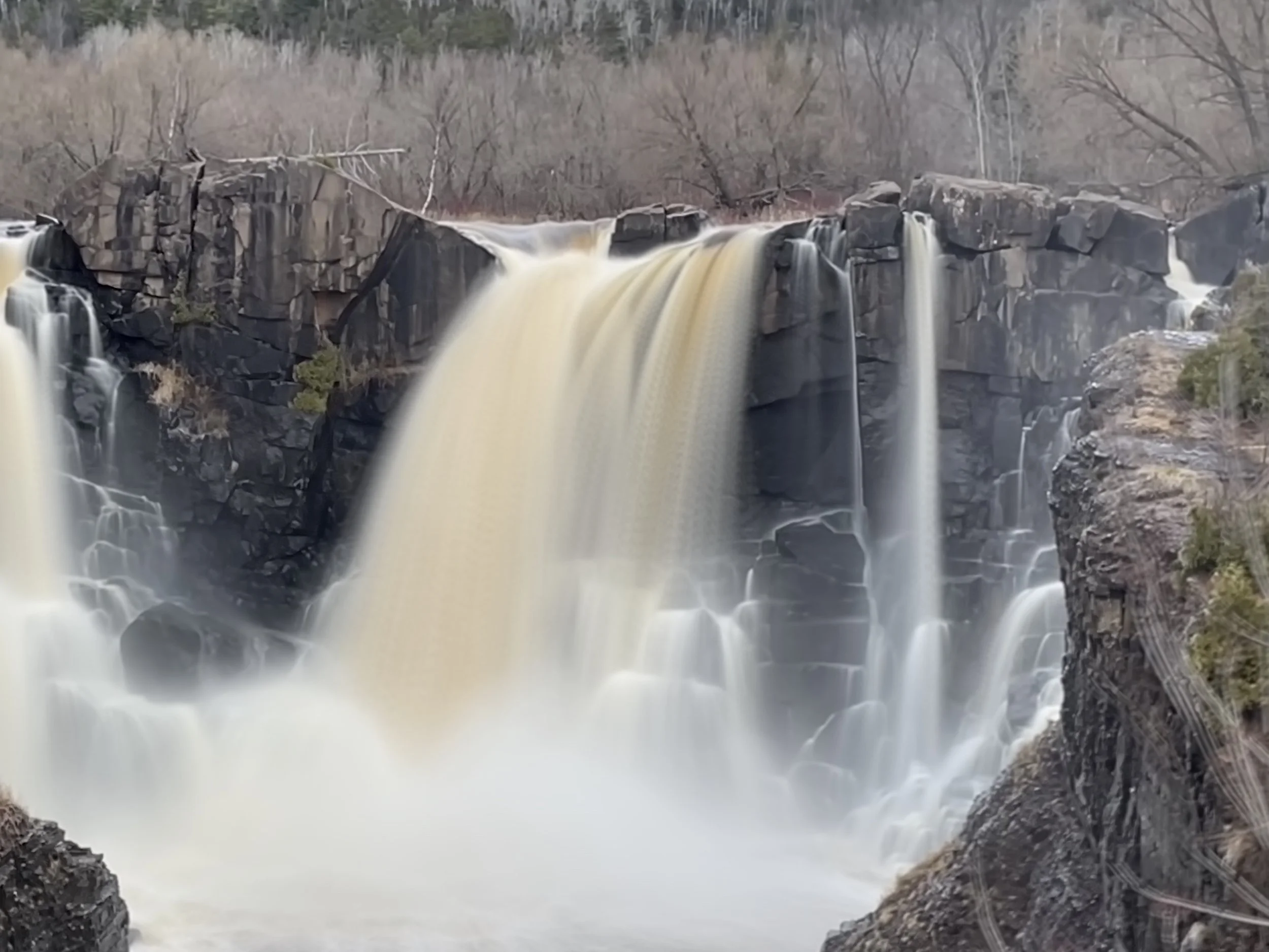
High Falls - viewed from Grand Portage State Park (US-side) in Jan 2024
If you enjoy my blog, please consider signing up below for email notifications of my latest posts. I will not share your email.
High Falls - April 2024
Overview of Grand Portage, Minnesota
Grand Portage sits at the border between the United States and Canada in the northeast corner of Minnesota. This historic site is 145 miles north of Duluth, and the drive takes at least 2 hours and 40 minutes, likely longer with traffic. Unless you are staying in Grand Marais, a trek up here is going to take most of your day. With two parks though, both bearing the name Grand Portage, there is plenty to do here in the summer months to fill up the entire day and make the drive up worth it. An added plus - both Grand Portage National Monument and Grand Portage State Park are free.
As you drive north on MN-61, Grand Portage National Monument will be the first park you find. This is a historical site, and it includes both tribal land and a historic Depot Area. The best time to visit is June through September when the Depot Area is open and actors depict the lives of those who lived here. If you visit outside of these months, the Heritage Center (visitor center) will still be open, and you can wander the grounds outside of the Depot Area, which show examples of homes the native Ojibwa lived in.
About five miles north of Grand Portage National Monument is Grand Portage State Park, and this park sits at the very edge of the our country. If you continue any further on MN-61, you will find yourself at a border checkpoint as you head into Canada. Grand Portage State Park includes the southern shoreline of the Pigeon River and boasts of the highest waterfall in Minnesota (High Falls), although there is a slight amount of controversy about this as half of the river is in Canada and half is in Minnesota. The highest waterfall completely within Minnesota is in Tettegouche, and due to this controversy, is also named High Falls.
Below, are maps I’ve created with colors to explain where different things are located. These colors will not mean anything to you once you are in these parks, however. There are also hyperlinks in the captions. If you click on a name, the link will take you to that section within this post. There will be a “Return to Map” option at the end of each section.
This post stands on its own, but it is a part of a larger network of posts I’ve written regarding things to do along Minnesota’s North Shore. This is a link to my full North Shore Guide for anyone interested. It’s an external link so you won’t lose your spot. I will also re-post this link at the end.
Grand Portage National Monument (orange) - This is a historical park with reenactments occurring June through September.
“Grand Portage” (green) - Historic 8.5 mile portage where British men carried European goods over land to bypass waterfalls along the Pigeon River. These goods were then loaded into canoes and brought further inland where they were traded with the Ojibwa in exchange for furs. The furs were then moved back to Grand Portage, out through the Great Lakes, and on to Europe.
Grand Portage State Park High Falls Trail (red) - This is 1.5 mile out-and-back accessible hike along paved trails and a wooden ramp.
Grand Portage State Park Middle and Upper Falls Trail (purple) - This trail adds 3.5 miles out-and-back to the High Falls Trail. This is a rugged trail and involves an elevation gain of almost 700ft.
Visiting Grand Portage National Monument
There are two parking areas for Grand Portage National Monument, marked in the map below. Start at the Heritage Center, marked with the red star. This is the formal visitor center. Ask for a Junior Ranger book, even if you aren’t with any kids - these booklets are free and will have you doing activities throughout the park that help you learn and experience more of the park while you are visiting. If you complete a certain number of activities, you can return back to the Heritage Center and receive a Junior Ranger Badge. Each park has a different badge, and these can be fun souvenirs of your travels to National Parks.
After you are done with the Heritage Center, drive over to the Depot Area, marked with the blue star. If you would prefer to walk, there is 0.1 mile trail connecting the Heritage Center with the Depot Area.
The Grand Portage National Monument visitor center is at the Heritage Center Headquarters. This is open year round and marked with the red star.
The historic Depot Area has been re-built and is marked with the blue star. This is only open June through September, and is the best part of visiting Grand Portage National Monument.
Trail connecting Heritage Center with Depot Area (orange) - 0.1 miles one-way
Grand Portage Trail (green) - 8.5 miles (one-way) connecting the port along Lake Superior with historical Fort Charlotte (no longer standing) along the Pigeon River, where smaller canoes would head further inland to collect trade European goods for furs.
The Depot Area was reconstructed in the 1970s to show what life was like when Grand Portage was an integral port in the fur trade, which began in the 1780s with the British North West Company. This location was an important rendezvous point. The British workers would travel in 40ft long canoes across the Great Lakes, bringing items from Europe to trade with the Ojibwa Tribe. These items would be unloaded at the Grand Portage port in the summer months. Inland from the port, the British would portage (carry) these items 8.5 miles up-river, bypassing High Falls and other cascading waterfalls, to a spot on the Pigeon River which could be safely paddled in smaller canoes to access the fur-rich lands. The British would trade the European goods with local Ojibwa for furs, and then bring the furs back to the port at Grand Portage, where they would be loaded onto large canoes as they travelled back out across the Great Lakes, and then on to Europe. Portage means to carry a boat and / or its cargo between two navigable waters. Grand Portage refers to this 8.5 mile portage where items from Europe and furs (not the boats) were carried back and forth on land to bypass the waterfalls which prevented canoe usage. You can hike to High Falls at Grand Portage State Park (keep reading below - trail is marked in red). You can also hike the original Grand Portage as the trail still exists today (marked in green on the map). The trail ends at the location where Fort Charlotte once stood. There are no structures remaining at Fort Charlotte, but there is a backpacking camp site with tent pads where the fort was located.
Depot Area of Grand Portage National Monument. This is open June - September, and you can wander inside the walls and through the various buildings
In the summer months (June-September), the Depot Area will be open, and you can walk through the fence to explore the grounds inside and learn about what life was like in the late 1700s.
Once you are inside the grounds, also check out the buildings, which should be open. There will be actors throughout the area (inside and outside), who teach visitors by showing and doing things, making this park a very interactive experience.
Grand Portage - Great Hall inside the depot area
Throughout the park, there will be people dressed up and explaining things about life in the 1780s. Several spots are interactive, where both kids and adults can join in the activities and crafts.
Visitors can make crafts at different stations
This man is showing how various tools were made out of wood
Here are the 40ft canoes that were used to navigate across the Great Lakes, bringing items from Europe to trade on their way in and furs to send back to Europe on their way out. Old picture from when my family brought me and a friend up to Grand Portage in the 90s.
Outside the Depot Area, there is an exhibit showing what life was like for the native Ojibwa. This part of the park is open year round.
My son inside the same tepee as pictured above on his first trip here
Another part of the exhibit showing how the fish were smoked
If you’ve completed those Junior Ranger books, stop back at the Heritage Center to say the Junior Ranger Pledge and pick up your free badge.
Pic of the cousins before we traveled back to our campsite in Cascade River State Park
Hiking at Grand Portage State Park
A nice rest area houses the small visitor center at Grand Portage. This park is free to explore.
The turn for Grand Portage State Park from MN-61 is just before the US/Canada border crossing - you can see the checkpoint as you turn into the park. The visitor center feels like a traditional rest area, and there is no associated campground. There is just one trail that takes off from the parking lot along the Pigeon River, and it’s paved for accessibility all the way to High Falls, with ramps leading to one of the viewing platforms. I have also seen US Border Patrol Agents in the park, giving this trail a slightly different feeling than a typical MN State Park. The waterfall is incredible though, and this park is worth the drive north.
The trail to Middle/Upper Falls takes off from the end of the High Falls trail. This trail is well-trodden but rugged with the typical ups and downs of a North Shore hike resulting in about 700ft in elevation gain. There are sections of this trail that are a bit swampy. Hiking boots will help keep your feet dry.
Black Star - US/Canada Border - To cross, you need the appropriate documentation with you to return into the US
The parking area for Grand Portage State Park is marked with a red star
High Falls (red) - This is a paved and mostly flat trail to High Falls. Out-and-back, this trail is 1.5 miles with an elevation gain of 50ft. There is a ramp up to the second viewing platform and steps to the other two platforms. Note that snow and ice reduce accessibility of the trail in the winter.
Upper/Middle Fails (purple) - The hike out to Upper/Middle Falls adds 3.5 miles to the High Falls Trail (total of 5 miles) and 700ft in elevation. This trail is not paved. The section of the trail I have marked in yellow is swampy, with no views of the river. My recommendation would be to keep your feet dry and just hike out and back to the falls (for similar mileage).
High Falls
Distance / Elevation Gain - The trail to High Falls is an out-and-back 1.5 mile trek with an elevation gain of 50ft. The trail is paved the entire way until the falls, where there is a wooden ramp up to the second viewing platform. This trail is marked in red on my map.
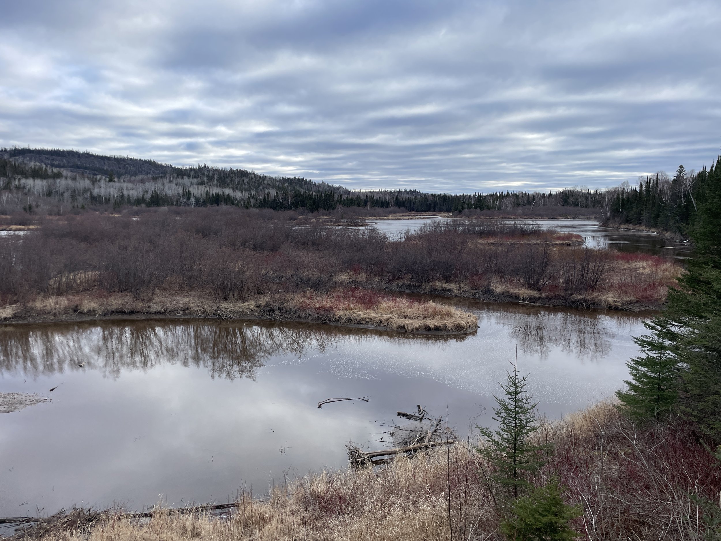
Pigeon River looking out at Canada
Same view as above in the winter. The river looks frozen, but rivers are not safe to walk across.
Because of how far north Grand Portage State Park is, and how long the drive is (a 45-minute drive from Grand Marias), I’ve only hiked here three times (in the summer with my parents a really long time ago, and on solo hikes in January and April 2024). There are so many other great places to hike along the North Shore, it’s hard to justify the time commitment that comes with driving up here. High Falls is amazing though.
April was a great time to visit - no bugs, the trails were still mostly frozen in the early morning hours (keeping the mud-level at a minimum), and the water from all of the snow melt resulted in an epic falls experience, plus minimal people (the summer and peak fall color are the busiest times of the year).
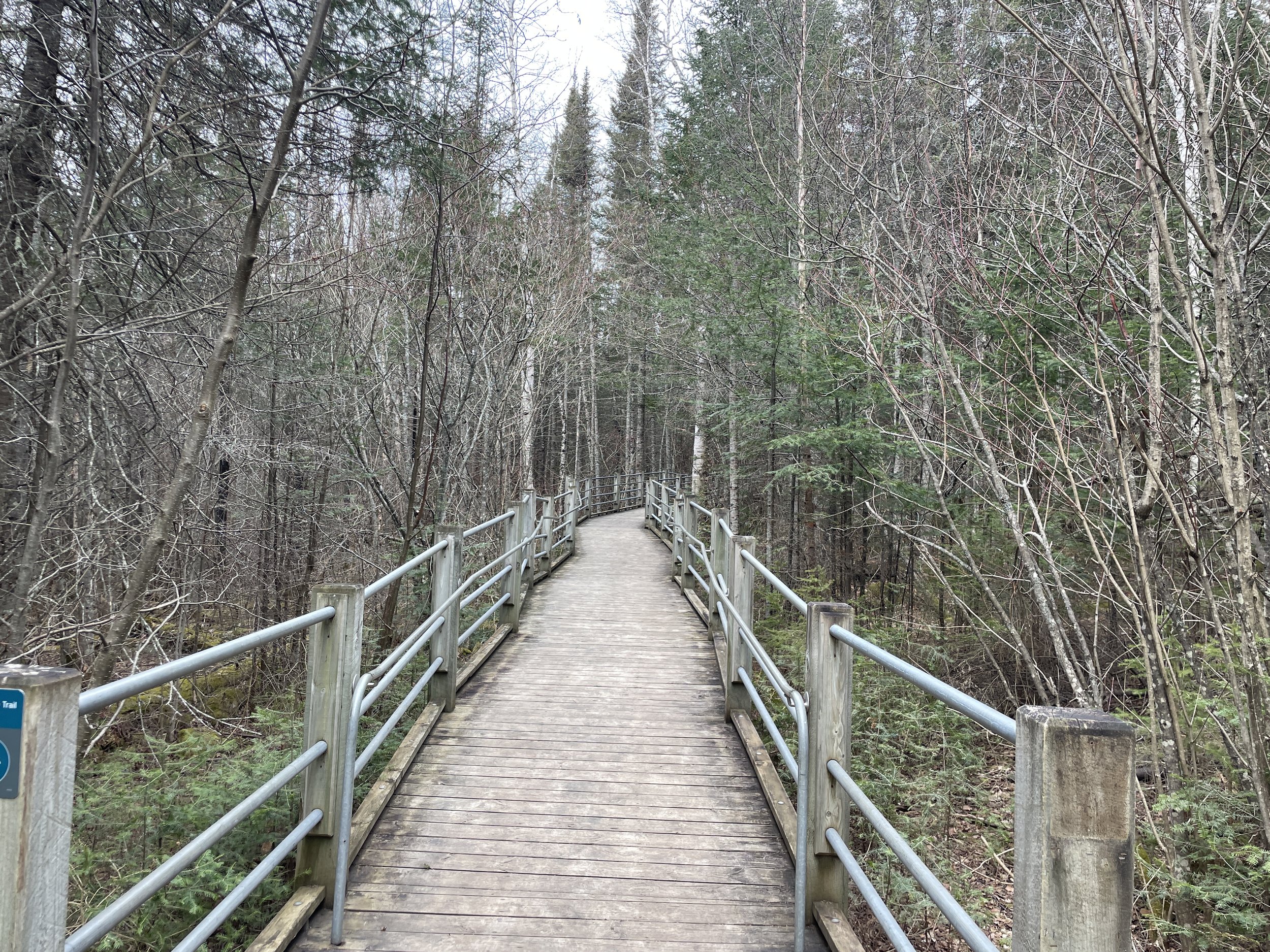
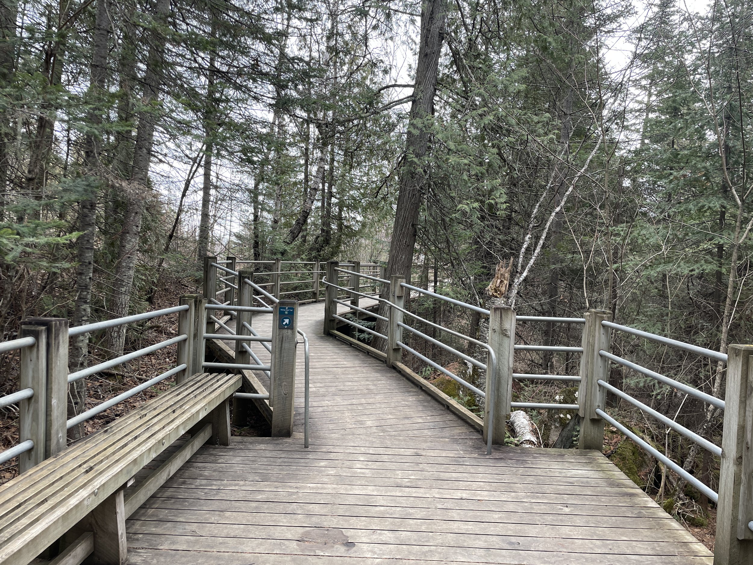
Paved trail leading up to High Falls
The trail to High Falls is very accessible due to the paved route and wooden ramps. Although I prefer to hike on the ground rather than pavement, it’s nice that everyone has the ability to view High Falls, an amazing treasure in our state.
From the paved trail, there are two spur trails down to the Pigeon River. These are short trails, but involve steps and navigating over some rocks. Neither allows for a view of the falls from the bottom.
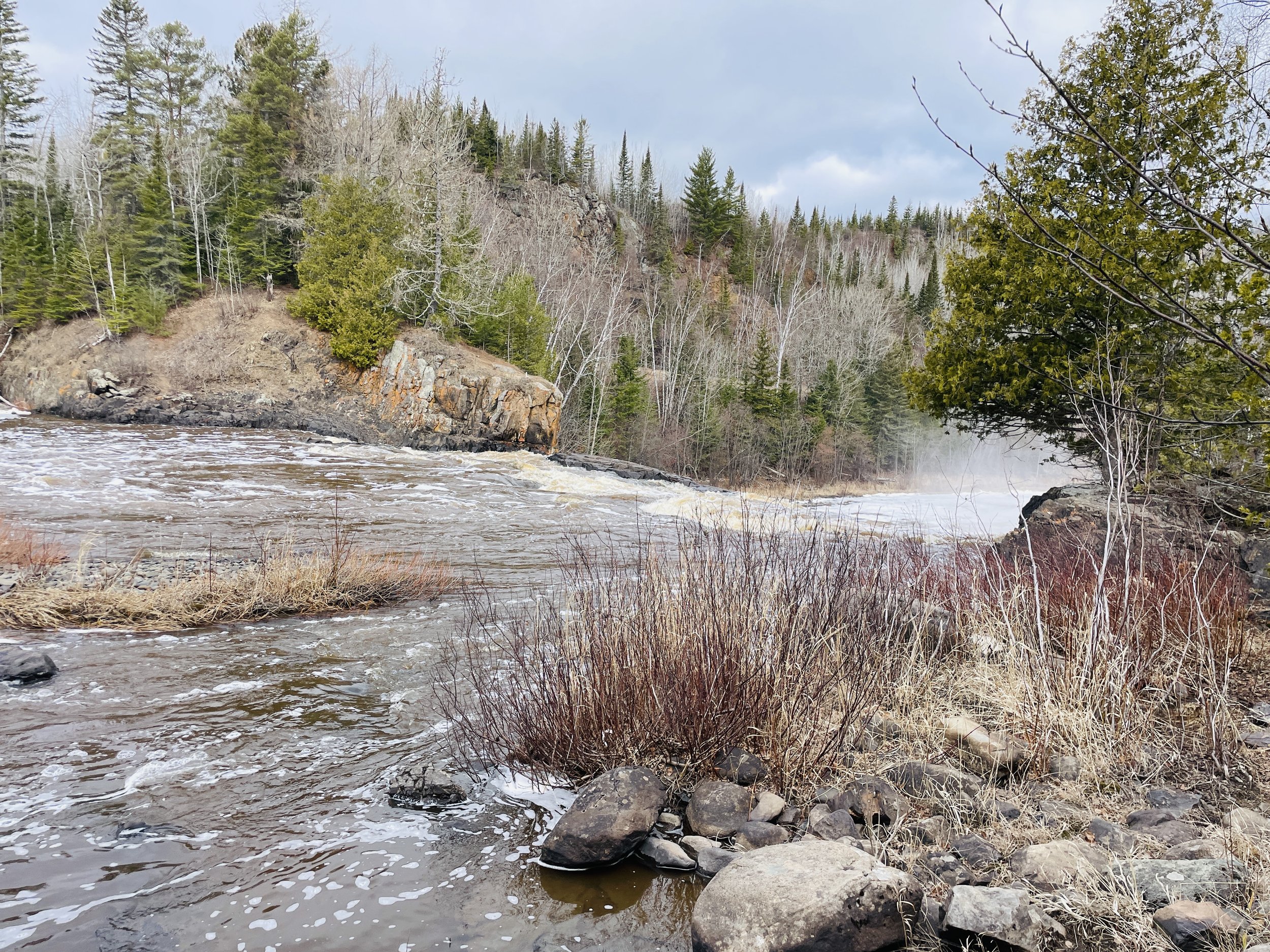
Pigeon River as viewed from the second spur trail - There was so much water in April as a result of the recent snow melt. This river was raging!
Looking upstream along the Pigeon River - the falls are still a ways up and around a corner. I couldn’t see a way to get there, even with hopping over the boulders. Maybe the falls would be visible when the water level is lower, but then the falls themselves wouldn’t be as pretty.
Same view as above in the winter
The paved trail ends at a split and a pit toilet. The trail for Middle/Upper Falls isn’t exactly obvious, but it’s just past the signs. To get to Upper Falls, take the much more visible wooden ramp.
This is the wheelchair accessible ramp up to the falls viewing area
There are three different views of Upper Falls. The first is the closest to the waterfall, but the view is a little bit from a side angle. This view requires a few steps to get to the top.
Steps to the first view of High Falls
The amount of water is going to be heavily dependent on the season. I’ve wanted to hike along the North Shore to see the waterfalls in early spring after snow melt for years, but it’s hard to balance schedules with my boy’s sporting events. This year, I snuck up to Grand Marais on a Friday night by myself, woke up early on Saturday, hiked the whole day, and drove back to the Twin Cities in the evening. The waterfalls were unlike anything I’d experienced before! This first picture is from the first viewing platform. This waterfall took my breath away. What an incredible way to start my morning.
High Falls from the first viewing platform (April 2024)
To get to the second and third viewing areas, go back down the steps and follow the ramp. The entire way to the second platform is a ramp and wheelchair accessible. From this second platform, there are a handful of steps up to the third viewing area. The difference between the views at the second and third platforms are negligible.
Wooden ramp continues all the way out to the second viewing area, making the High Falls entirely wheelchair accessible
View of High Falls from the second platform in April 2024
A close-up shot of High Falls from the third platform. I love how long exposures capture the movement of the water - and man, was this water moving!
I’m including an older photo that I took in the summer to show the difference. Throughout the summer and into the fall, the waterfalls shrink quite a bit.
High Falls in the summer of 1994
I love frozen waterfalls as well, and I had previously hiked in all of the MN State Parks along the North Shore in the winter except for Grand Portage. I took an extremely long day-trip in January 2024 to drive up to Grand Portage. And this one ties with the High Falls of Tettegouche for the coolest frozen waterfall in the state!
High Falls in January 2024
Middle and Upper Falls
Distance / Elevation Gain - The trail to Middle and Upper Falls adds 3.5 miles to the High Falls Trail, and an elevation gain of 700ft. This trail is not paved.
Hiking Map to Upper and Middle Falls - I would skip the yellow section of the trail and hike out-and-back to the falls. I would also recommend taking the spur trail up to the view of Lake Superior.
It’s just a little bit confusing where the trailhead to Upper and Middle Falls is. The paved trail ends with a junction to the wooden ramp up to High Falls and a pit toilet. The paved trail goes all the way to the pit toilet. There is a sign at the trailhead, you should be able to see it in the below picture, but it took me a moment to realize that this was the trailhead sign, as the trail to Upper and Middle Falls is narrow and you won’t see it from the main trail.
The pit toilet marks the trail junction with Upper and Middle Falls - there is also a sign at the trailhead, but the trail itself looks unassuming.
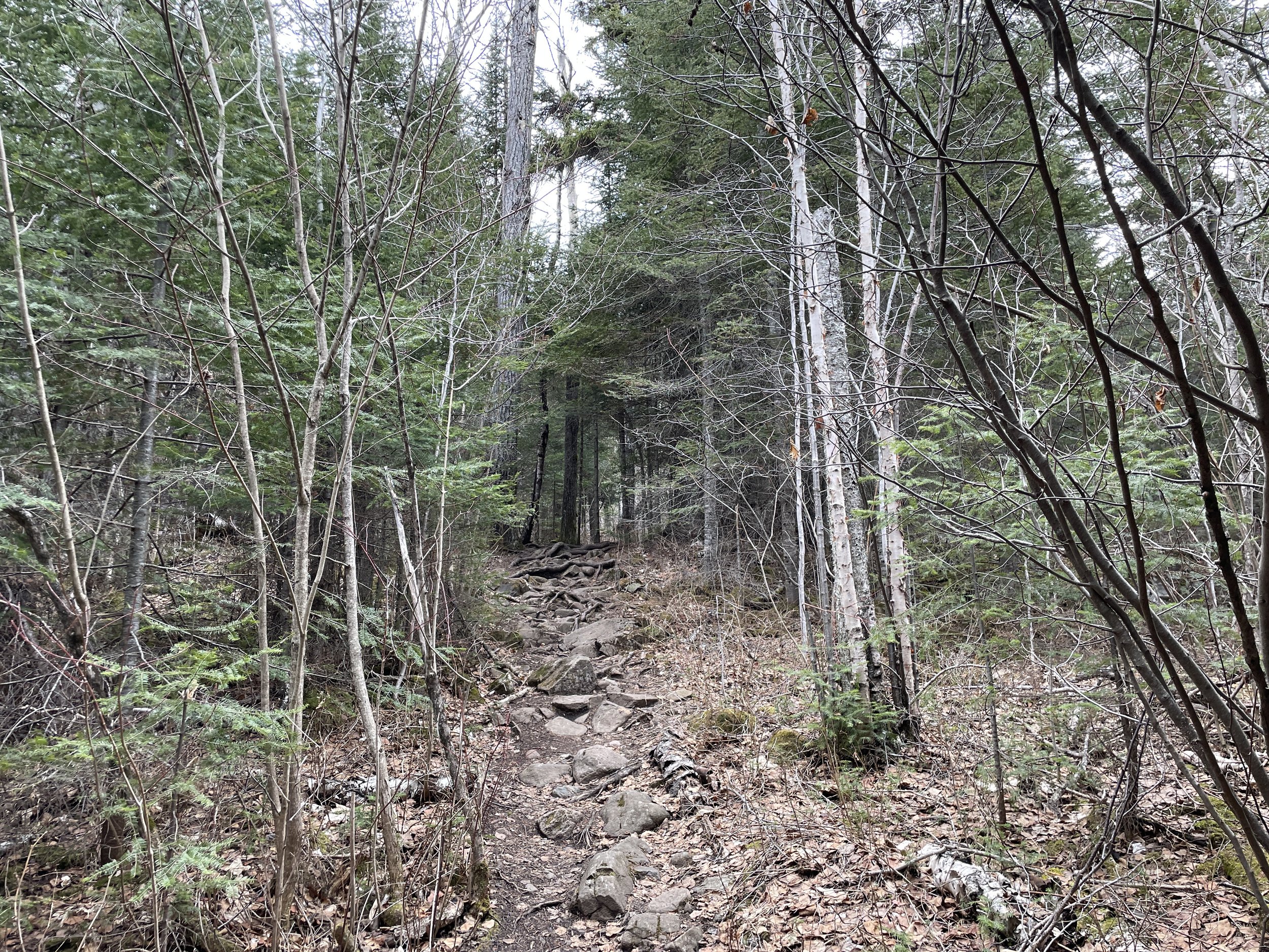
This is a pretty rugged hiking trail, comparable to other North Shore trails with lots of tree roots and rocks. For the most part, the trail heads uphill at a pretty gradual angle. After the spur trail to the view of Lake Superior, it heads back downhill at a steeper angle (this hill wasn’t so fun to walk back up on the return), and there is one more hill to go up and over prior to the falls. Gotta love North Shore hikes - they are great at burning calories.
Trail to Upper and Middle Falls in Grand Portage State Park
I enjoyed this trail. The forest was pretty. The rocks and trees are covered in moss, which in the beginning of spring is so lovely to see green everywhere.
As the trail climbs up the first hill, unexpectedly Lake Superior comes into view. This surprised me as I was hiking away from the lake.
View of Lake Superior from the main trail out to Upper and Middle Falls at Grand Portage State Park
There is one short spur trail. The main trail to the falls heads to the left and goes downhill. The spur goes to the right and continues to head uphill a short distance. I would recommend walking out to see the view. The picture below only captures a portion of what I could see.
View of Lake Superior from the spur trail on the Upper and Middle Falls trail
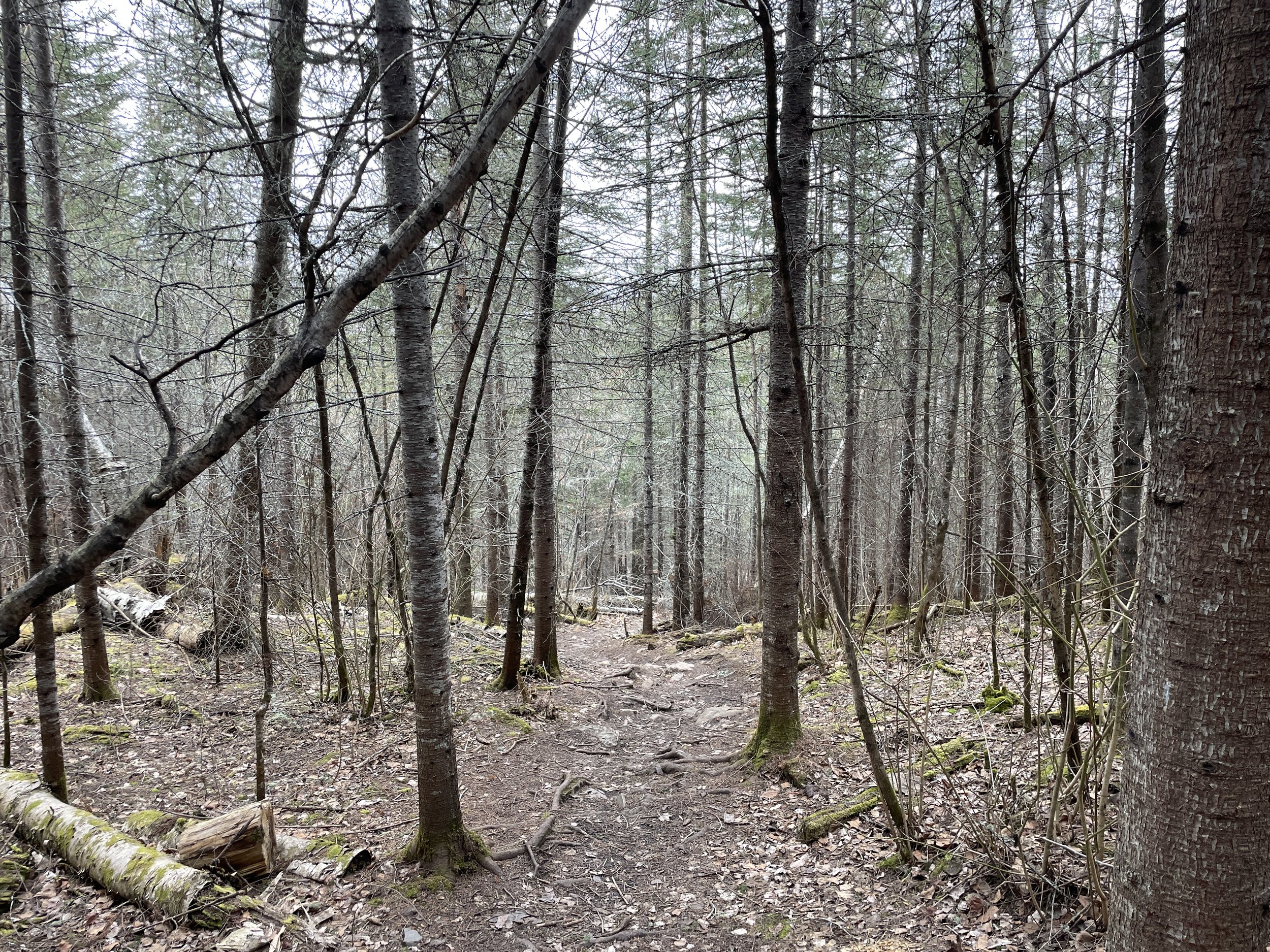
The trail to Middle and Upper Falls is a loop hike at the end, and who doesn’t love a loop hike when compared to an out-and back? My warning though would be that the portion of the trail I have marked in yellow is wet - really wet. Now I was there in April, so part of that was probably from snow melt, but reading reviews from AllTrails, it seems like everyone reports this trail as muddy, regardless of the time of year. It wasn’t so bad when I hiked it, as it was early in the morning on a cold day in April, and a lot of the trail was frozen. But I was walking over maybe an inch of frozen water in some spots. And there were sections just off of the trail with standing water as well. In addition to thinking about how do I keep my feet dry (with a whole day of hiking planned), my second thought in seeing all of this water on the trail was how bad the mosquitos must be in the summer months.
There isn’t anything special about the section of trail marked in yellow. There aren’t any views of the river; it’s just trees. So my recommendation would be to just walk out-and-back to the falls for similar mileage. This part of the trail was quite a bit drier (although I would still recommend wearing hiking boots and bringing extra socks just in case).
Hiking through the woods along the trail to Upper and Middle Falls
Going clockwise from the trail split (on the purple trail), you will be upstream and hit Upper Falls first. Calling this a waterfall is a bit of a stretch. Its dramatic rapids. But the cool thing is that the trail goes right out to the falls, and you can walk along the rocks and feel like you are part of the waterfall. These rocks are also the perfect place for a picnic lunch.
Upper Falls at Grand Portage State Park
Upper Falls at Grand Portage
Looking downstream from Upper Falls
Upper and Middle Falls are pretty close to one another.
View of Upper Falls from the main trail, just above the Middle Falls viewing area
Looking the other direction from the same spot as above
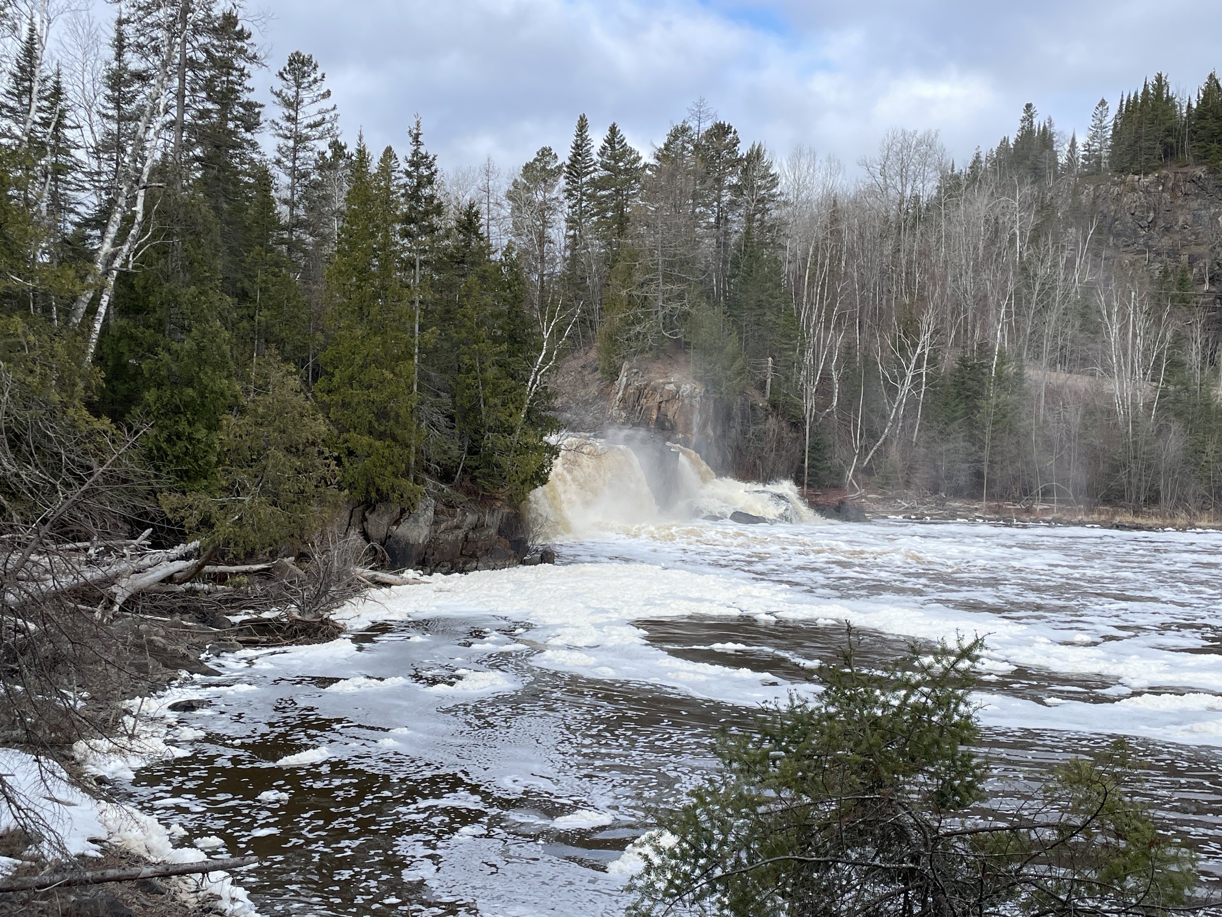
The trail goes near the top of Middle Falls, but there isn’t a close viewing option from below. This is the first view of Middle Falls, from the side. Keep going down the trail for a better head-on view before turning around.
Middle Falls at Grand Portage State Park
As I said, the trail doesn’t get too close to Middle Falls, but the viewing area is head-on. The first picture is a zoomed in picture of Middle Falls. The second picture is without the zoom, so you can see how far away it is.
Middle Falls gushing in April after snow melt - this picture is zoomed in
This picture is from the same viewing location as the above picture without the zoom
Other Outdoor Things to Do within an Hour Drive
Below are hyperlinks to other posts I’ve written about things to do that are located within an hour’s drive from Grand Portage.
Judge C.R. Magney State Park
(south) This park has two large waterfalls - Upper Falls and Devil’s Kettle.
Lake Walk - Superior Hiking Trail
(south) The only section of the Superior Hiking Trail that is along Lake Superior’s shoreline is the Lake Walk, a 1.5 mile stretch of sand / loose gravel, just south of Judge Magney State Park. Note that this is an awesome beach, but a hard place to hike long distances due to the soft ground.
Grand Marias, MN
(south) My favorite pizza along MN-61 is at Swen & Ole’s Pizza in Grand Marias.
Eagle Mountain
(south) The highest point in Minnesota can be accessed from the BWCA along a 6.5 mile out-and-back trail. This is an easy trail until the last 1/3 of the trail ascends 500ft dramatically. A permit is required, but it’s free, and the paperwork is available at the trailhead.
Cascade River State Park
(south) This park has multiple waterfalls that cascade, making it difficult to provide an actual waterfall count. Similar to Temperance, most of the waterfalls are within a hike less than a mile long. This is also the only MN State Park with a true hike along the Lake Superior Shoreline.
Lutsen Ski Resort
(south) Lutsen is the best ski resort in Minnesota. During the summer months, the gondola continues to run. There are hiking trails and a half-mile Alpine Slide.
Oberg Mountain
(south) This is overlook hike is part of the Superior Hiking Trail, and therefore parking is free. This is a busier trail, especially in the fall..
Temperance River State Park
(south) This is the most unique State Park along MN-61 where seven waterfalls can be seen in a hike less than 2 miles. Several of these waterfalls occur in dramatic pothole formations. The official MN State Park map undersells this state park, as does the size of the parking lot off of MN-61.
Link to Full North Shore Guide from NatureImpactsUs.com
For more ideas of things to do up and down MN-61 along Lake Superior, visit my North Shore Guide.
Other Hiking Ideas
If you are looking for more hiking suggestions, please check out my below map which has additional posts linked to each pin.
