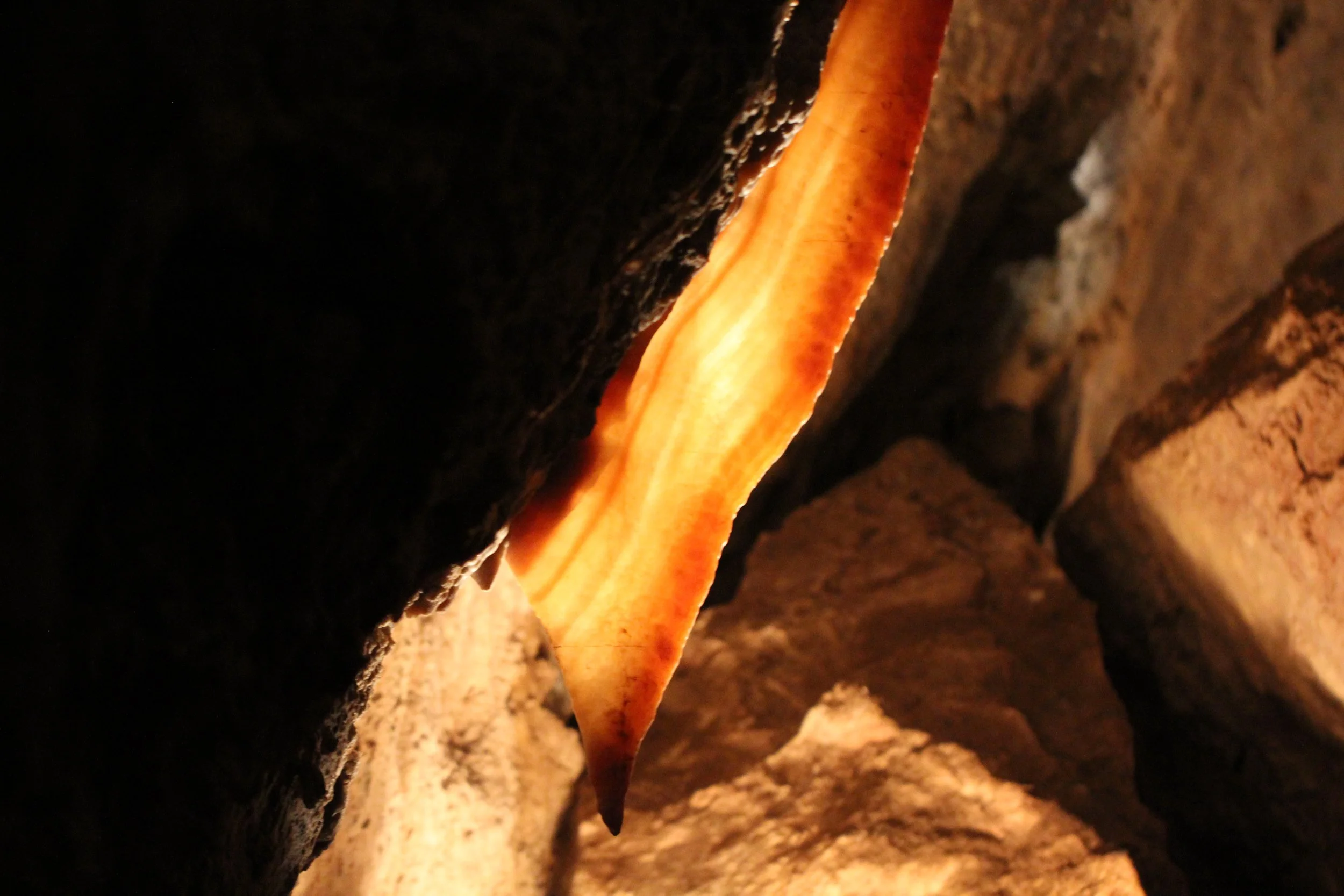
When planning a trip to the Black Hills, realize that some of the world’s longest and densest cave systems in the world are underfoot. Both Jewel Cave National Monument and Wind Cave National Park are phenomenal places to experience. Caves require tours, which fill up quickly, and require some pre-planning. Additionally, both caves within the Black Hills have been infected with White-Nose Syndrome, and our mosquito-eating friends need us to take special precautions of ensuring clothing and footwear are limited to only one cave entrance, ever. Please plan accordingly to care for our bats.
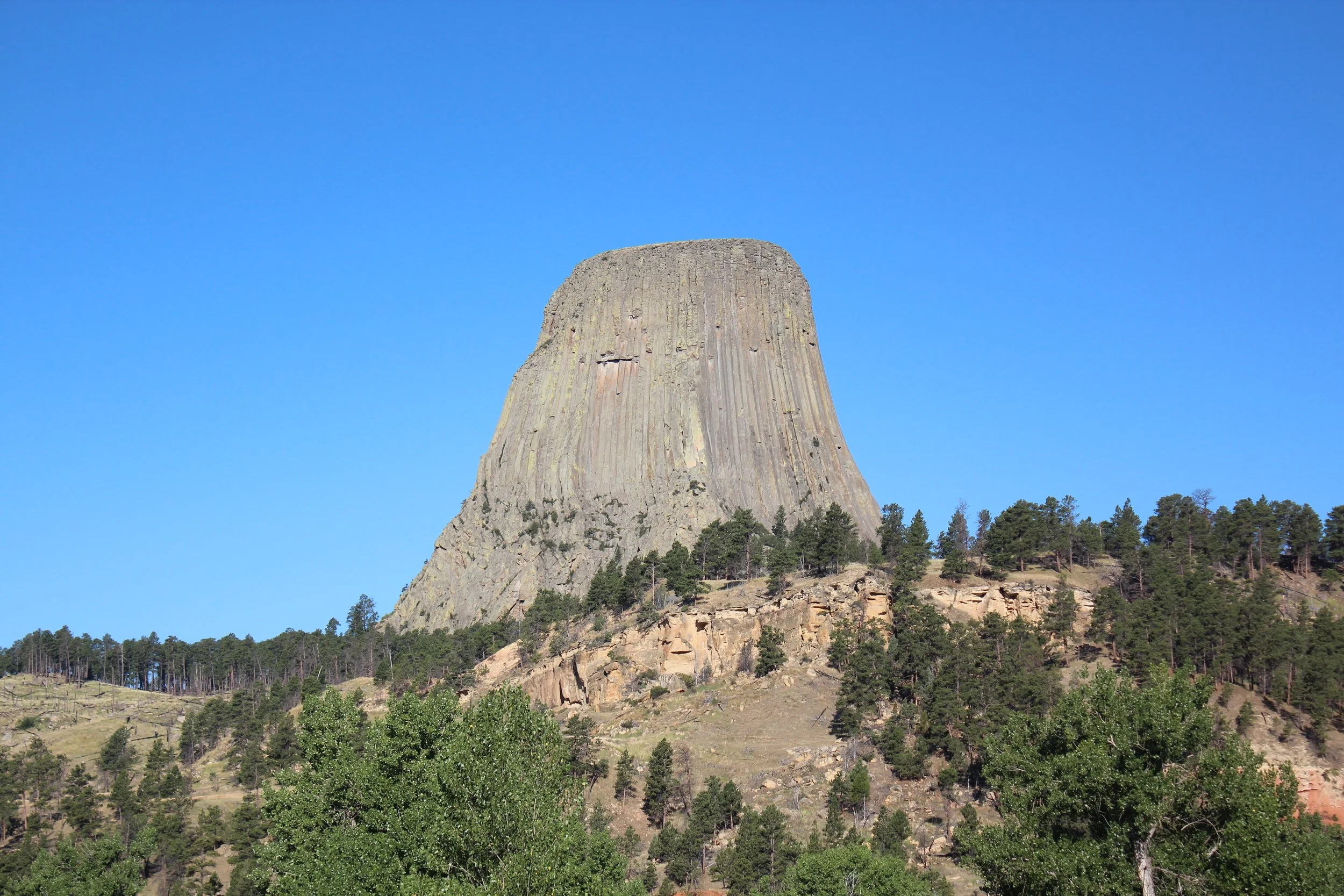
Visiting Devils Tower National Monument
Hippie Hole - Black Hills, South Dakota
Hippie Hole is a fantastic swimming hole off the beaten path in the Black Hills of South Dakota. This short 0.6 mile out and back hike is moderately difficult just due to the rock scrambling needed on the return trip back up to the parking lot. There is a rope to use for anyone brave enough to try cliff jumping. Even in the middle of the summer, expect the water to be extremely cold.
Hiking along Spearfish Canyon
Exit I90 at Spearfish, South Dakota and head down the Spearfish Canyon Scenic Byway for a day of waterfall hikes. Rock Scramble up to Community Cave to find a secret small cave and waterfall. Take pictures of Bridal Veil Waterfall from the road. Go swimming and slide down the rocks at Devil’s Bathtub. Enjoy short (less than a mile) hikes to Spearfish Falls and Roughlock Falls along well maintained wooden boardwalk trails.
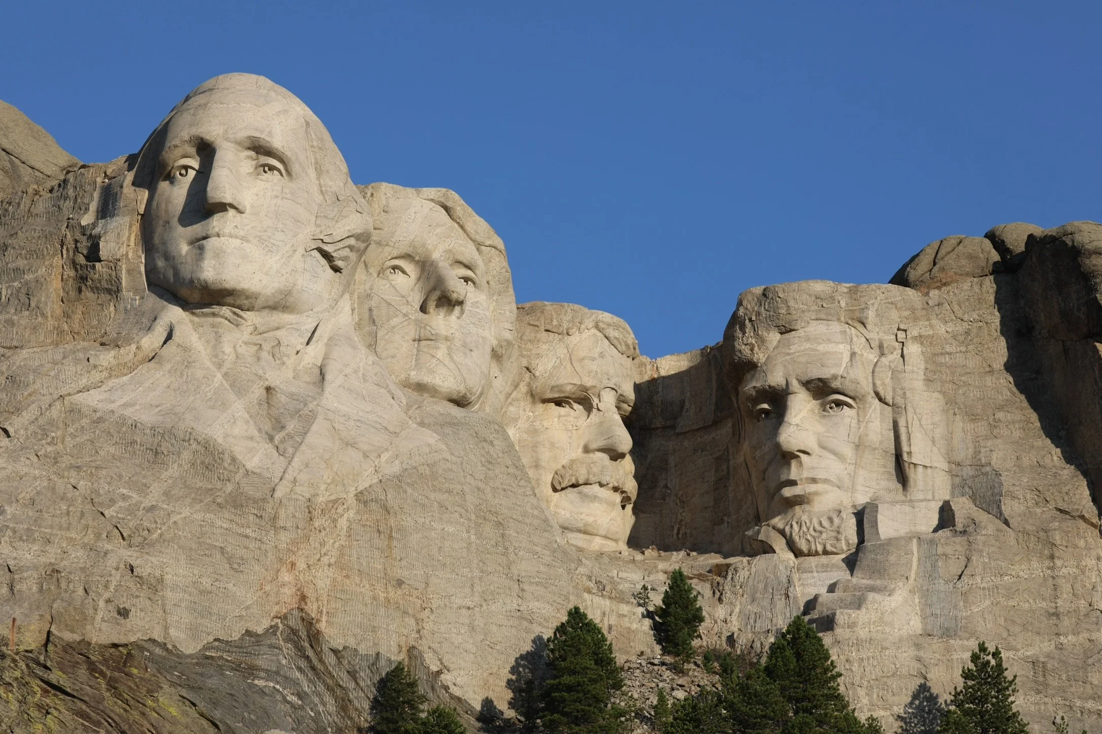
Visiting Mount Rushmore National Memorial
After a day at Custer State Park, visit Mount Rushmore just before dusk. Take pictures in the daylight, watch the movie at the visitor center, and walk along the Presidential Trail. Attend the lighting ceremony (in the summer months), and enjoy the monument as the sky darkens. There is a café at the memorial, which is open until 6:30pm.
Hiking at Sylvan Lake
The trails at Sylvan Lake provide some of the best views in all of South Dakota’s Black Hills. Hike the easy and flat 1.1 Lake Shore Loop around Sylvan Lake, and add in the 3.1 mile Sunday Gulch Loop for a fun but challenging hike past a creek with several small waterfalls and then up into the mountains of the Black Hills. Other trail options also include Little Devil’s Tower, my favorite viewpoint within the Black Hills, and Black Elk Peak (formerly known as Harney Peak) which is the highest point in elevation east of the Rocky Mountains. The trail to Black Elk Peak gains 1350ft, making it a tough trail. Little Devil’s Tower is shorter with less elevation, but involves a significant rock scramble at the end. There is also a spur trail to Cathedral Spires, a unique set of towering rocks.
Exploring Ely, Minnesota
While Ely, MN, may be best known for its entry location into the Boundary Waters Canoe Area (BWCA), there are also two nearby state parks, an International Wolf Center, and one of Minnesota’s prettiest waterfalls. Bear Head Lake State Park offers canoe, kayak, and paddleboard rentals in addition to hiking trails, while Lake Vermilion-Soudan Underground Mine State Park offers tours of the state’s first and deepest iron mine. Tours include riding a cage down almost a half mile into the mine and then taking a train out to the last excavation site. For another option into BWCA closer to Lake Superior than Ely, enter near Tofte, along Sawbill Lake.
Hiking at Jay Cooke State Park - Minnesota
At Jay Cooke State Park, wander downstream of the St. Louis River from the parking lot to get the best pictures of Swinging Bridge. Cross Swinging Bridge and hike upstream to the rapids. For a two-mile hike, walk back to the bridge, and enjoy an out-and-back along River Trail. For a longer hike, head towards Lost Lake and enjoy the valley, streams, and meadow.
The Best Lake Superior Beaches in Minnesota
Part of the North Shore experience in Minnesota is exploring the shoreline of Lake Superior. My favorite “beaches” or places to access the water are Canal Park, Park Point, Agate Beach in Gooseberry State Park, Iona’s Beach, Pebble Beach in Split Rock Lighthouse State Park, Black Beach, Baptism River in Tettegouche State Park, Crystal Bay Sea Caves Beach, Sugarloaf Cove, Lakeshore Trail in Cascade River State Park, and the Superior Hiking Trail’s Lake Walk.
Exploring Grand Portage, Minnesota
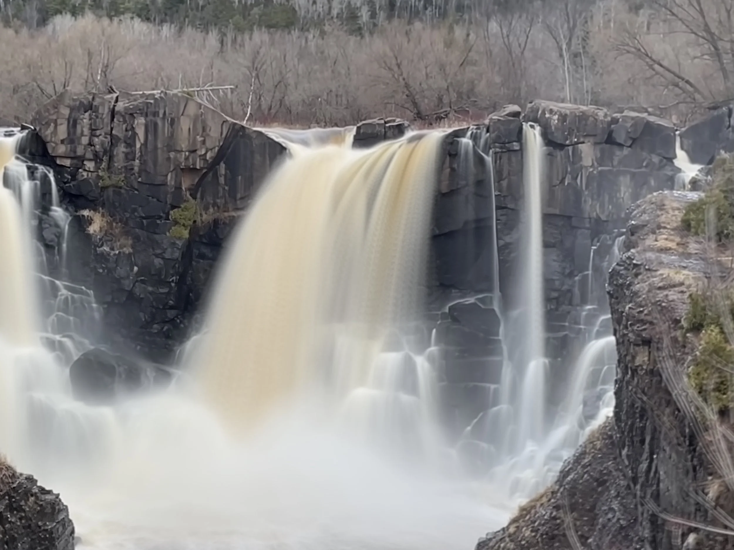
Although Grand Portage is a 2 hour and 40 minute drive from Duluth and there are plenty of other things to do and places to hike along MN-61 before you reach the Canadian border, there are two parks bearing the name “Grand Portage” and there is enough to do up here to make the trip worth the effort. In the summer months, the Depot Area inside of Grand Portage NM is open, and there are people dressed in costume performing tasks that show what life was like in the region in the 1780s. Grand Portage State Park has the highest waterfall in Minnesota, which is amazing in any season, and is easily accessible along a paved trail.
Hiking at Judge CR Magney State Park
Judge Magney is a lesser known Minnesota State Park, but is worthy of a stop to hike the 2.0 mile out-and-back trail to Upper Falls and Devil’s Kettle. Note that there are 175 steps as you get close to the falls. If you are looking for a second hike nearby, stop at the Kadunce River Trailhead to the Superior Hiking Trail, and enjoy a quiet out-and-back hike to a smaller waterfall.
Hiking at Cascade River State Park
Cascade River State Park is a true hiking experience through the Northwoods of Minnesota. A 1.2 mile loop hike will take you past several waterfalls, and you can explore further along the river by taking each of the spur trails. Additionally, Cascade River has a 1.5 mile shoreline along Lake Superior that can be hiked along the rocks - a feature that is very rare and a wonderful way to experience Lake Superior up close.
Hiking at Temperance River State Park
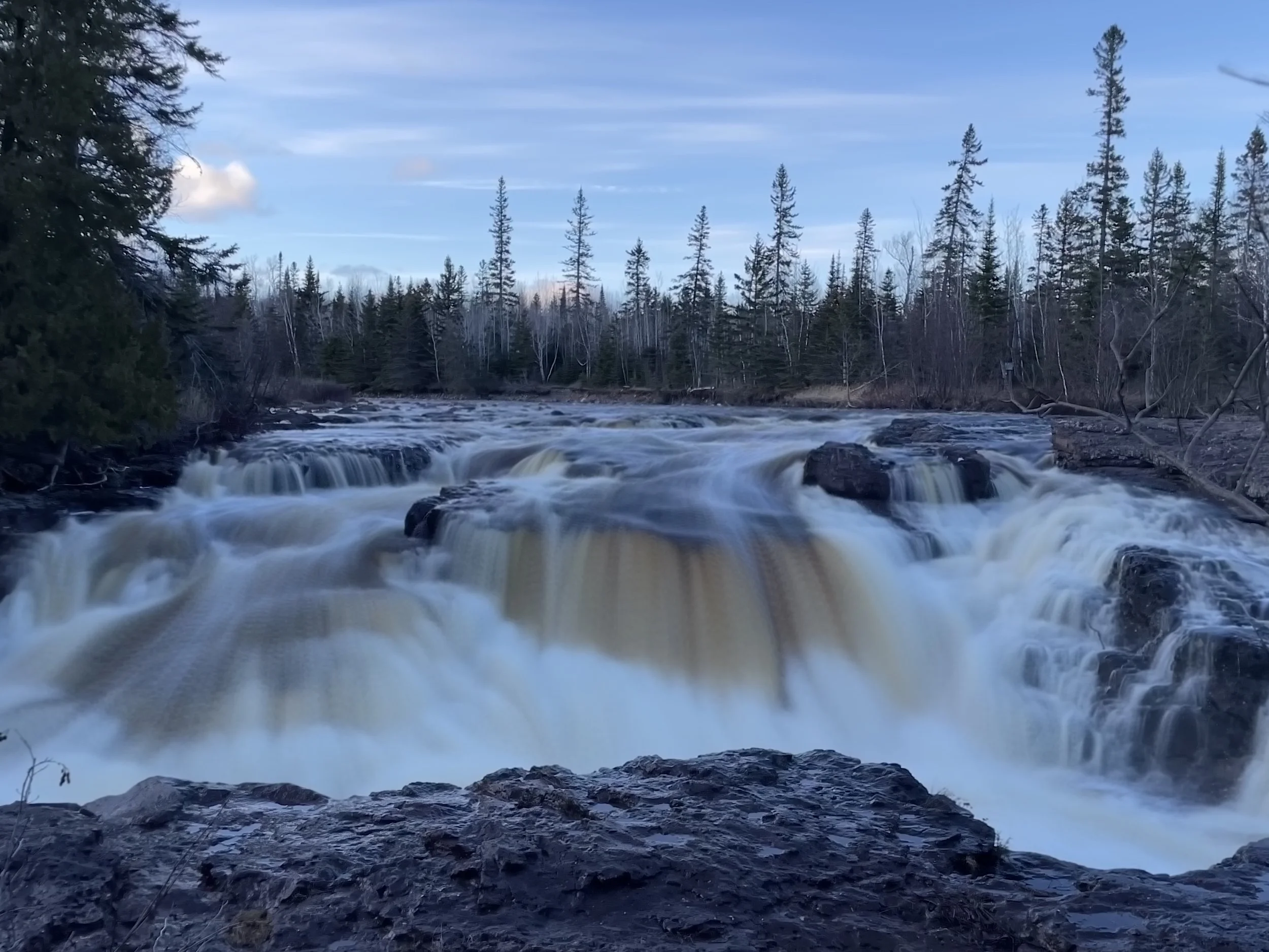
The Temperance River Gorge Trail includes six stunning waterfalls in just under one mile. Several of these waterfalls are formed from potholes, and this hike is a hidden Minnesota treasure. For a longer hike (two miles), add the Upper Falls trail on the west-side of Temperance River. For a long day hike, head to Cross River along the Superior Hiking Trail. Don’t forget to stop at Cross Falls along MN-61 - no hiking is required to experience this gushing falls. Britton Peak is the shortest hike to see fall colors along the North Shore. Extend that hike to Carlton Peak and Britton Overlook for a longer day of hiking.
Hiking at George Crosby Manitou State Park
If you are looking for a hidden waterfall in a secluded and rugged MN State Park, check out Cascades Waterfall in George Crosby State Park. The easiest option to access the waterfall is a 2.0 mile out-and-back hike along the Middle Trail. If you prefer a longer day of forest bathing, hike out along the Manitou River Trail or head out to Caribou Falls.
Hiking at Split Rock Lighthouse State Park
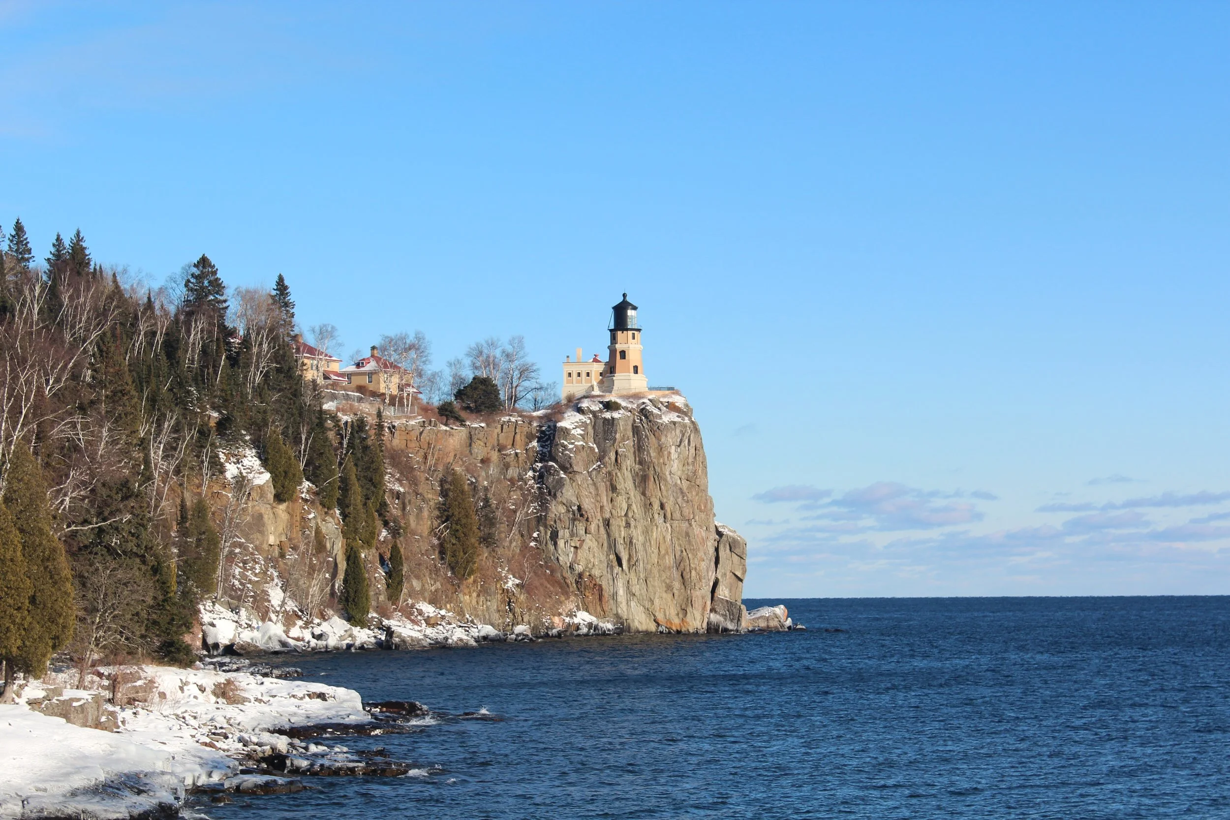
Split Rock Lighthouse is the second MN State Park as you head north on Hwy 61 from Duluth along the North Shore of Lake Superior. This state park includes Pebble Beach, a fantastic beach full of small, flat, smooth rocks, absolutely perfect for skipping. There is a hike up to the lighthouse, or you can drive to a second parking lot right next to the lighthouse.
The best long hike in the park is Split Rock River, which takes off from a small unmarked parking lot 2.5 miles south of the main park entrance. This trail goes past the namesake “split rock” and several small waterfalls which occur in the Split Rock River. The trail ends with views high in the bluffs of the park overlooking the valleys and Lake Superior.
Hiking at Gooseberry State Park
A complete overview of hiking at Gooseberry State Park, the first of several MN parks along the Hwy 61 North Shore of Lake Superior. Gooseberry includes trails to four waterfalls including Upper, Middle, Lower, and Fifth Falls. The River View Trail heads out to Agate Beach and Lake Superior. And the Gitchi Gummi Trail includes views of Lake Superior from the cliffs along the shoreline.
Go Waterfalling Along the Historic Columbia River Highway
The Historic Columbia River Highway is probably the best place in the United States to go waterfalling. It includes Multnomah Falls, the second highest waterfall in the country, as well as Horsetail Falls, Dutchman Falls, Wiesendanger Falls, Ecola Falls, Fairy Falls, Wahkeena Falls, Coopey Falls, Bridal Veil Falls, Shepperd’s Dell Falls, and Latourell Falls. There are flexible options for both the non-hiker and the avid hiker looking for a moderately strenuous trails. If you choose to hit a couple of different trailheads, the best part is, it’s less than 9 miles that you need to drive in order to hit all of them. And this stretch of highway is located less than an hour from Portland, OR, which makes it a very convenient destination for a fun day to spend outside.
Exploring Crater Lake National Park
Explore Crater Lake National Park with a one-day itinerary to the best viewpoints and trails. Hike down Cleetwood Cove, and bring a swimsuit if you are brave enough to jump in the cold water of our country’s deepest lake. If you are even bolder, try cliff jumping into it. For the best view of Crater Lake, hike up to the Watchman Overlook Tower. The best roadside pullouts are at Vidae Falls and Phantom Ship Overlook. To see more of Crater Lake’s volcanic history, explore the Pinnacles Trail. This is a very family friendly park.
Exploring Craters of the Moon National Monument
Craters of the Moon National Monument is a strange, largely barren landscape set within a lava field. The best part of the park involves exploring lava tube caves. Before heading into a cave though, make sure you are not wearing any clothes you have previously worn underground (including jackets, shoes, or boots), and check in at the Visitor Center to obtain a free permit. When planning your trip, consider also adding an excursion to Black Magic Slot Canyon, the Shoshone Ice Cave, or tour the Experimental Breeder Reactor (EBR-1)
Hiking at Rocky Mountain National Park
If you are planning a hiking trip to Rocky Mountain National Park, this post can help you determine which trails are best for you based on trail length, elevation, and trailhead location. Our favorite trails were Chasm Lake (hard), Gem (moderate) Lake, Forest Canyon Overlook (easy), Tundra Communities (easy), Coyote Valley (easy), Lake Haiyaha (moderate), and Sky Pond (hard).


