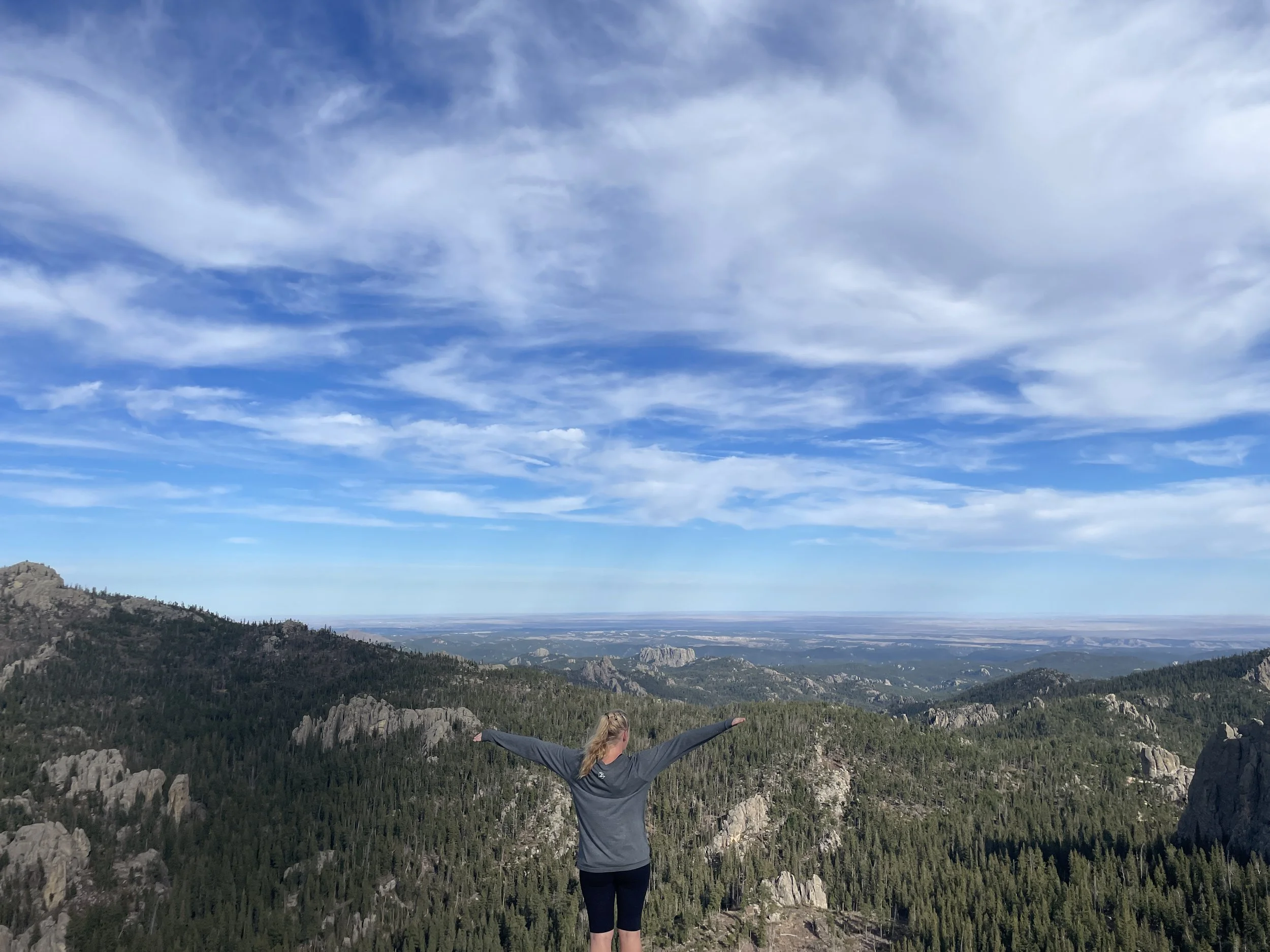
Cathedral Spires (viewed from Little Devil’s Tower)
If you enjoy my posts, please consider signing up below to get email notifications of my latest blogs. I will not share your email.
Exploring the Sylvan Lake Trailheads
Sylvan Lake is featured in the 2007 National Treasure 2: Book of Secrets. (Note that the movie doesn’t quite depict its location from Mount Rushmore correctly - it’s a 45 minute drive between Mount Rushmore and Sylvan Lake.) As pretty as Sylvan Lake is in the movie, it’s even better to experience it in person. Of all the places to hike in the Black Hills of South Dakota, the trails at Sylvan Lake are my favorites.
Sylvan Lake is within Custer State Park, and this trailhead has something for everyone. Take an easy stroll around Sylvan Lake on the Lake Shore Trail or enjoy a quiet paddle in a canoe or kayak (rentals are available at the Sylvan Lake Lodge). For something more difficult, add on Sunday Gulch, one of my top 10 favorite hikes anywhere. From the same trailhead, there is an option to climb up to Black Elk Peak (formerly known as Harney Peak). This peak is the highest point in elevation east of the Rocky Mountains and west of Europe’s Pyrenees Mountains (which border France and Spain). Little Devil’s Tower can be accessed as a spur trail while hiking to Black Elk Peak or as it’s own destination. In my opinion, Little Devil’s Tower has the best 360 degree view in the Black Hills. There is also an option is to tack on a spur hike to the Cathedral Spires, a unique set of towering rock spikes.
To fill up the day, leave the lake along Needles Highway (SD-87) and explore the Wildlife Loop Road (also in Custer State Park). End the day at Mount Rushmore, catching the Light Ceremony as the sun sets. Note that SD-87 closes in the winter months due to snow, so a different driving route is needed to get to Mount Rushmore.
This post stands on its own, but it is a part of a larger network of posts I’ve written regarding things to do at the Black Hills. This is a link to my full Black Hills Guide for anyone interested. It’s an external link so you won’t lose your spot. I will also re-post this link at the end of this blogpost.
Hiking into the Sunday Gulch - a fantastic trail - interesting, challenging, fun, varied, and full of water
Location and Parking
Sylvan Lake is located at the junction of SD-87 and SD-89. As mentioned above, Sylvan Lake is within Custer State Park, so it does require a daily entrance fee. As of 2024, this fee is $20 / day. To cut down on costs, consider combining Sylvan Lake, Needles Highway, and the Wildlife Loop all on the same day.
SD-87 (also known as Needles Highway) is closed in the winter months from first snow until the ice melts (typically somewhere between March and April). Sylvan Lake remains open throughout the year, but is only accessible via SD-89 in the months the Needles Highway is closed. This has caught us off-guard before as we’ve travelled through the Black Hills a few times over Spring Break in March. The detour down SD-89 adds about 15 minutes. I have a map below highlighting the road closure. Although this highway closes to cars, the road can still be used throughout the winter months for hiking, snowshoeing, and/or cross-country skiing.
How to get to Sylvan Lake - Needles Highway (SD-87) is marked in red with black x’s indicating approximately where the road closes in winter due to ice and snow.
In addition to the main parking lots at Sylvan Lake, there are two other potential trailheads when Needles Highway is open. The parking lots are highlighted with black stars. Again, the main trailhead for Sylvan Lake is right at the lake. There is a shorter hiking option directly off of SD-87 for anyone wishing to hike Sunday Gulch and skip the Sylvan Lake Trail. There is also a third parking lot by Cathedral Spires, which is the closest option for hikes up to Black Elk Peak, Little Devil’s Tower, and Cathedral Spires.
Sylvan Lake Trailheads and parking lots are marked with black stars. When SD-87 (Needles Highway) is closed, the only parking option is at Sylvan Lake.
Lodging Options
There are multiple campground options both within Custer State Park as well as the surrounding Black Hills and National Forests. For anyone looking for a hotel, Rapid City is the largest option with likely the most availability, as well as more restaurants and other stores. The only downside to Rapid City is that the drive might be a tidge further I think it’s a great option though for anyone staying multiple days and exploring different sections within the Black Hills.
The town of Custer is another great lodging option. This is obviously close to Custer State Park. The town of Keystone is a little closer to Mount Rushmore. Hill City is another nearby town a little further to the North. Sturgis and Deadwood are towns a little bit further out. Spearfish is a fun place to explore in the Black Hills, but this town is about 90 minutes from Custer State Park, and it’s not near any of the places I would recommend visiting. I would instead simply suggest a day trip to Spearfish, but pick one of the more central cities/towns for lodging.
Downtown Keystone
Hiking the Trails at Sylvan Lake
Below is the map I will use in the rest of this post. I use different colors for easy reference. Note that these colors help me explain where in the park to find different things, and the colors will not mean anything once you are hiking at Custer State Park. On the map, I’ve also included trail names and numbers, as they are noted on the Custer State Park maps. Its not always obvious at trail junctions which trail is which in Custer State Park. I hike with the GAIA app, and I pre-download the maps when I have access to Wi-Fi prior to hiking. This app still works when I do not have access to the internet.
Within the captions below the map, there are also hyperlinks. Click on the trail name (or hiking destination, as there are multiple trail options in this park), and it will bring you to the section within this post with pictures and detailed trail descriptions. There will also be a link back to this map at the end of each trail description.
Lake Shore Trail (red) - Easy trail around Sylvan Lake. Scenic views from all sides of the trail.
Sunday Gulch (dark green) - Difficult but extremely fun trail following several steps along a cascading stream and circling back through the mountains with amazing views
Black Elk Peak (orange + various route options) - Difficult trail out to the highest point east of the Rocky Mountains and west of the Pyrenees Mountains of Europe
Little Devil’s Tower (yellow + various route options) - Moderately difficult trail to stunning 360 degree views of the surrounding Black Hills mountains
Cathedral Spires (pink + various route options) - Moderately easy trail to the base of tall rock spires
Sylvan Lake Shore Trail
Distance / Elevation Gain - The Lake Shore Trail is a 1.1 mile loop with minimal change in elevation (marked in red below). There are a handful of steps at the midway point in the trail as it passes between the rocks.
Sylvan Lake Shore Trail (red) - Parking is marked with black stars
Sylvan Lake is absolutely stunning, surrounded by the mountains of the Black Hills. On a still day, there is an opportunity to take some amazing reflection pictures.
Sylvan Lake viewed from the Lake Shore Trail
The Lake Shore Trail is an easy hike for everyone, featuring views of Sylvan Lake from all sides of the trail. Non-motorized boats, such as canoes and kayaks, are also allowed on the lake, and can be rented from the Sylvan Lake Lodge.
The rocks jutting out of Sylvan Lake are the reason for this lake’s
We chose to hike this trail counter-clockwise, so that’s the order in which I’ve arranged pictures around Sylvan Lake. The trail surface is hard dirt and pavement, and can be seen in the below picture. As the trail reaches the midway point around the lake, it goes behind and through these rocks.
Hiking Sylvan Lake Shore Trail
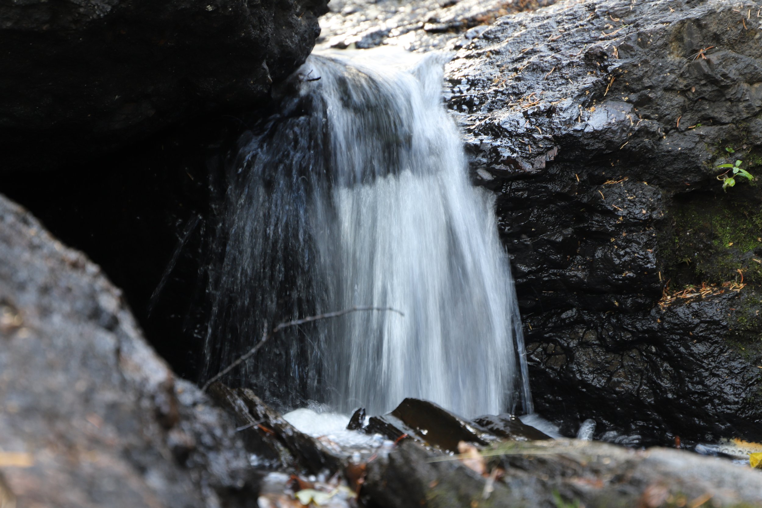
On the backside of the boulders, there is water everywhere, including waterfalls between the rocks. We didn’t find the treasure while we were here, but the inspiration for National Treasure 2 finding a cave inside these rocks dug out by water has some level of truth.
Small waterfall inside the backside of the rocks along Sylvan Lake Shore Trail
At this point in the trail, there is an option to take a longer and much more difficult hike through Sunday Gulch. I am going to finish the Lake Shore Trail and then move to a review of Sunday Gulch, but I’m just mentioning it here for reference. The junction to Sunday Gulch is well-marked. Sunday Gulch is also a loop, and it will return hikers right back to this spot, so no worries about missing out on other beautiful sections of the Lake Shore Trail.
The Lake Shore Trail impresses me in it’s ingenuity of building the trail right into the rocks at this point. There are a handful of steps.
Sylvan Lake Shore Trail
Now through the rocks, the below picture is looking back towards the parking lot.
Kayakers on Sylvan Lake on a beautiful warm day in October
There’s one more cool spot along the Lake Shore Trail where it goes past the dam, which was constructed in 1891, creating Sylvan Lake.
Dam across Sunday Gulch Creek - The Lake Shore Trail allows hikers to go up to the top of the dam
The Lake Shore Trail continues around Sylvan Lake back to the parking lot, and there are several more picturesque spots to enjoy.
Sylvan Lake Shore Trail
Sunday Gulch Trail
Distance / Elevation Gain - The Sunday Gulch Trail is a 3.1 mile loop with an approximate gain of 700ft in elevation. The trail is marked in dark green below. If parking at the main Sylvan Lake trailhead, add 1.1 miles for the Sylvan Lake Shore Trail (marked in red).
Sunday Gulch Trail (dark green) - Parking is marked with black stars
I hike a lot, so to say that a trail is in my favorite top 10 should signify there is something special about this hike. Sunday Gulch is a strenuous hike. The trail length isn’t too long, but there are some steep sections. We hiked counter clockwise. This meant we hiked down the steep steps into the gulch, and when we hiked up it was along a dirt path with a decent amount of switchbacks. Usually my knees would suggest I hike up the steps, but the railings helped take some of the pressure off, and the steps are so steep, I can’t imagine how hard it would be to hike up them.
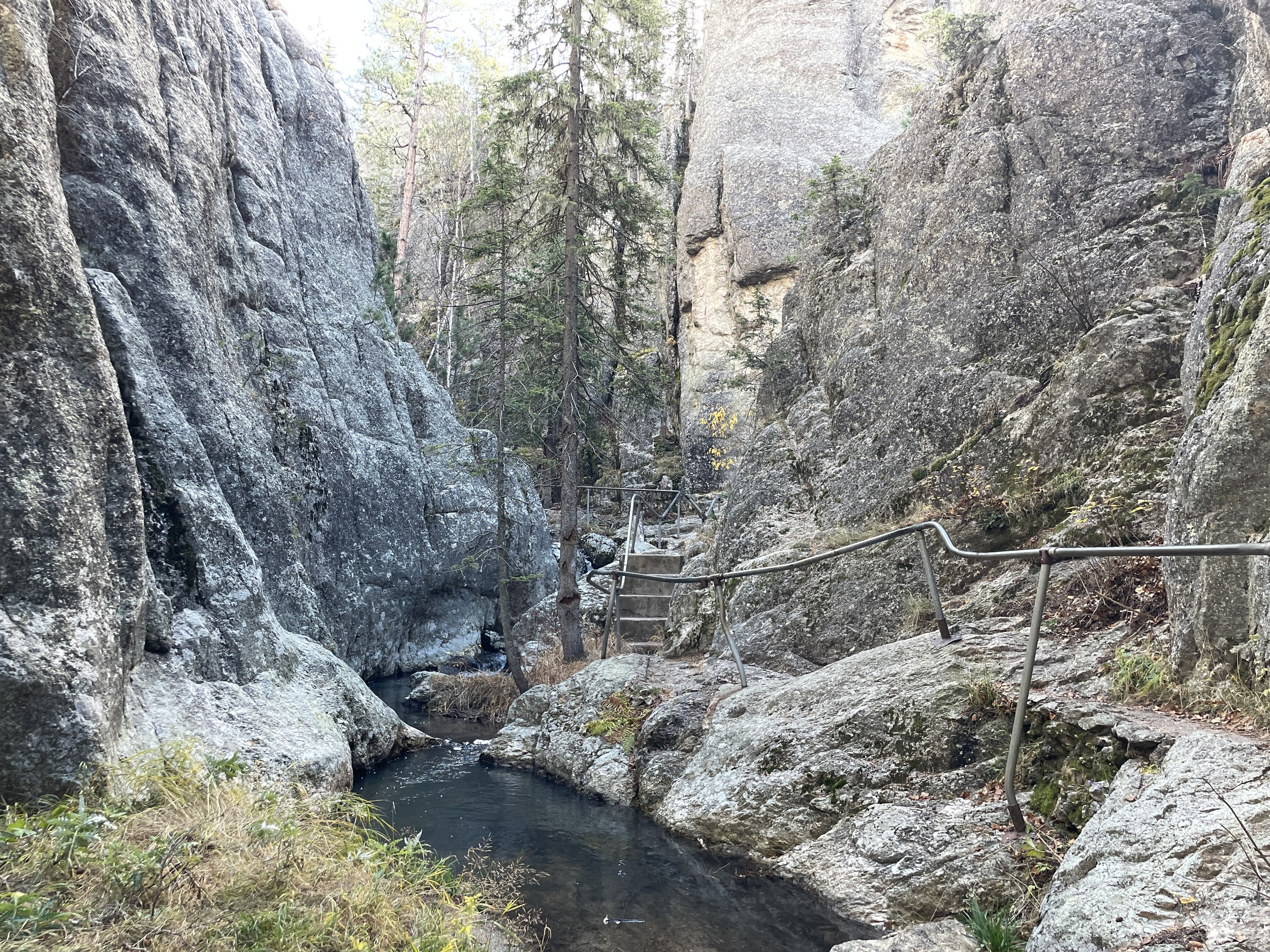
Steps leading down Sunday Gulch Creek
I have pictures looking both up and down sets of steps. Walking counter clockwise, all steps go down. I just turned around to take pictures of the view from below.
More steps
The trail down follows Sunday Gulch Creek. We hiked in October, when I would think it would be the driest, yet there was still water everywhere. That’s part of what made this trail so fun. The steps go right along the creek, and there are little waterfalls everywhere.
Showing how the Sunday Gulch Creek comes right up next to the trail steps
In addition to the steps, there are places to hop across the rocks, which adds to the charm of this trail. The sound of the water is relaxing, and there are so many beautiful places to take pictures.
Sunday Gulch Trail
I fell in love with this trail immediately. Getting to jump between steps and rocks, trying to keep my feet dry, enjoying the quiet sound of rushing water - I felt like a kid as I hiked this trail. What a hidden secret in South Dakota!
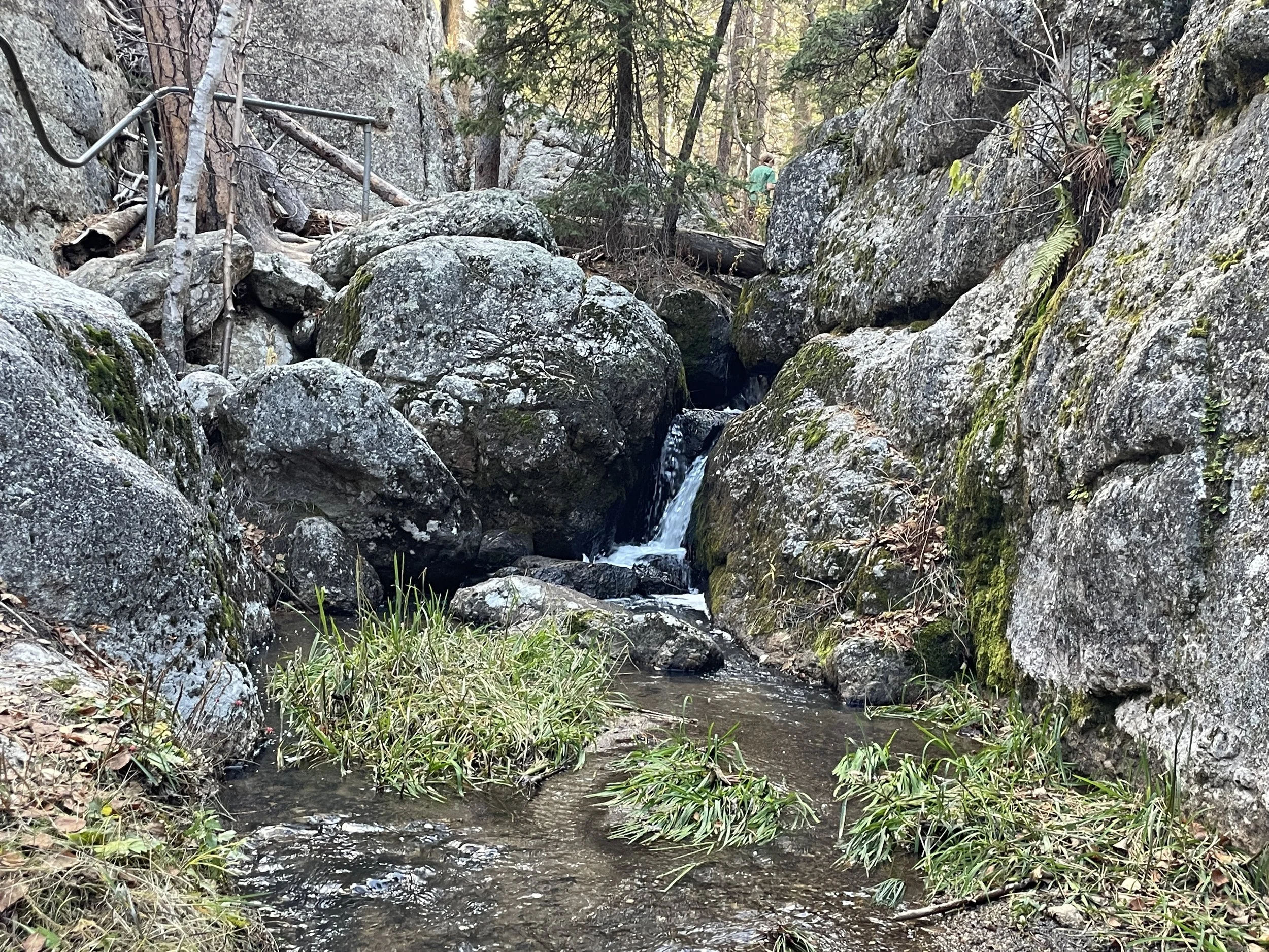
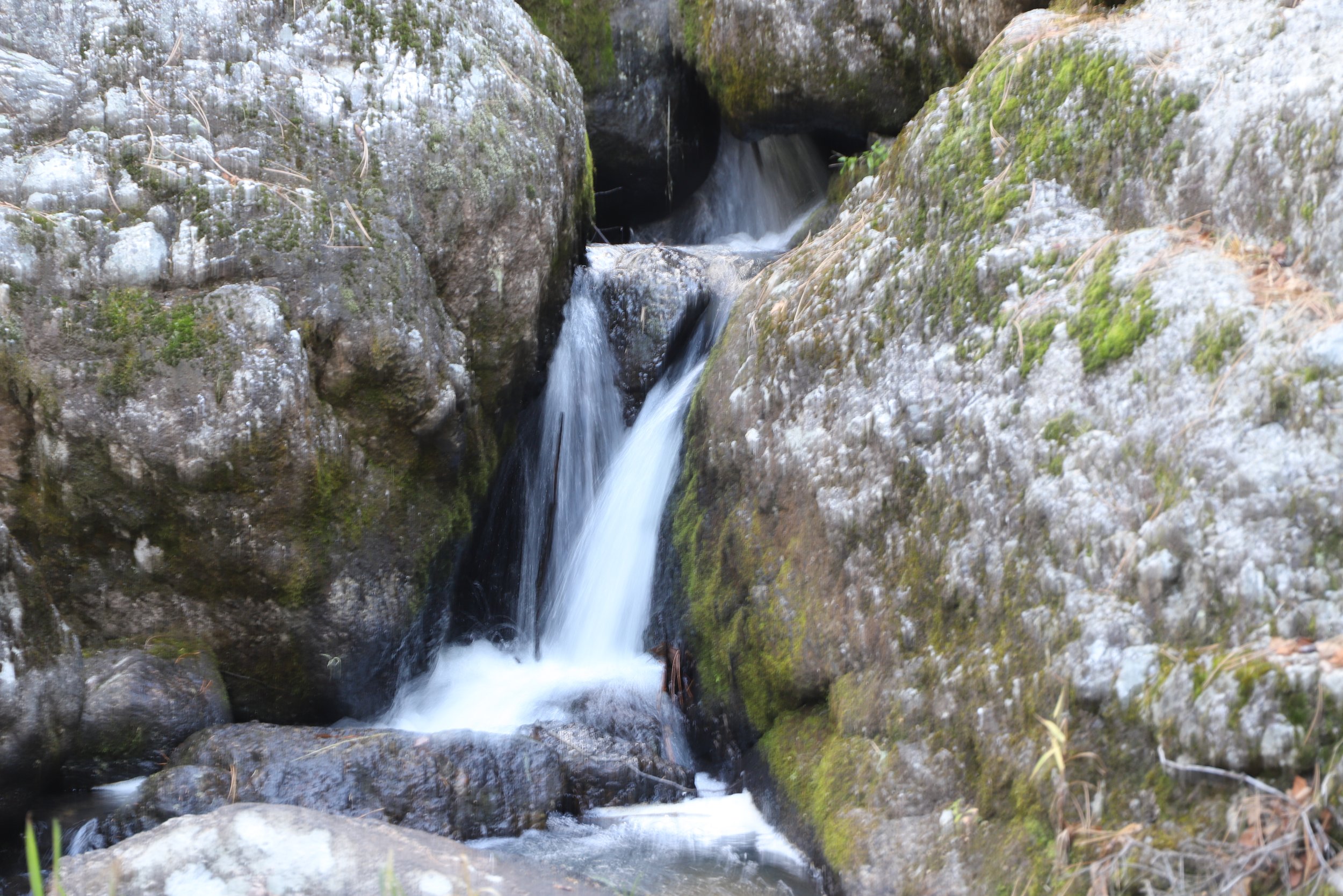
Small waterfalls along the Sunday Gulch Creek
Eventually the trail flattens out and continues along the water’s edge.
Sunday Gulch Trail
It was too hard to pick just a few favorite pictures along this trail. I loved every inch of it, especially the first section along the creek.
Another small waterfall along the Sunday Gulch Creek
The trail is built right into the rocks. Typically I would prefer the trail to on the rock surface, but along the Sunday Gulch Trail, I appreciated the steps and railings, which make it easier and safer to navigate.
Sunday Gulch Creek
Water gushes throughout the Sunday Gulch Trail
When the trail finally bottoms out, there is a small cave just a few steps off of the path.
Looking back towards the trail
When hiking, what goes down must go back up. I thought the trail was less steep though going up, and there are several switchbacks to make it easier. This section of the trail is made of hard dirt.
Looping around the Sunday Gulch Trail
I thoroughly enjoyed the section of the trail that followed the creek, but what pushed this trail into my top 10 were the incredible views along the other side of the trail - a totally different experience.
Views from the Sunday Gulch Trial
When we drove to Sylvan Lake, we followed SD-87. We actually stopped at the parking lot that can be used to access the Sunday Gulch Trail for anyone that wants to bypass the Sylvan Lake Trail. We didn’t realize though that we were on a section of the trail. We stopped and took pictures and got back in the car. At this point in the trail, we saw the parking lot, looked around, and realized we had just been there.
View of the Sd-87 pullout parking along SD-87 (Needles Highway)
If 700ft in elevation and steep staircases is too much, then hike the Sylvan Lake Shore Trail, and just stop at the pullout along SD-87 on the way out of the park. These incredible views are accessible near the the parking lot.
Views of the valley near the pullout along SD-87 (Needles Highway)
The below picture is the short spur hike from the parking lot on SD-87 before reaching Sylvan Lake. This would be the place to park for the shortest hiking option, as it’s possible to skip the Lake Shore Trail from here and just hike Sunday Gulch.
Trail from the SD-87 parking lot to the Sunday Gulch Trail
Sunday Gulch Trail
The rest of the Sunday Gulch Trail has incredible views of the surrounding Black Hills. I had a hard time picking pictures, so here are a few of the end of the trail before it rejoins the Lake Shore Trail back to the main parking lot.
Sunday Gulch Trail
Sunday Gulch Trail
Sunday Gulch Trail
Black Elk Peak
Distance / Elevation Gain - The shortest option for hiking out-and-back to Black Elk Peak (formerly known as Harney Peak) is 5.6 miles (total) with an elevation gain of 1350ft. This option involves parking at the Cathedral Spires Trailhead and taking the purple to dark blue (Trail #3) to orange trails (and following the same route back).
The loop hike version, starting at the main Sylvan Lake Trailhead, and following gray (Trail #4) to dark blue (Trail #3) to orange to light blue (Trail #9), is approximately 7 miles with an elevation gain of 1360ft.
Black Elk Peak is marked in the upper righthand portion of the map with the orange trail indicating the final ascent. . Parking is marked with black stars. There are multiple route options.
Black Elk Peak (formerly Harney Peak) - viewed from Little Devil’s Tower
The goal of hiking Black Elk peak is to get to the stone observation tower at the top. This stone structure is open, and can be entered.
Hiking along Trail #4
I’ve hiked to the top of Black Elk Peak three times, as of 2024. The first time was with my parents when I was 8. The second time I hiked up with my cousin when we were on a family reunion in 2006. We also hiked up in 2012 when my oldest was 3 and I was 20 weeks pregnant. We had an exchange student from Switzerland with us as well. My husband and his brother also hiked this trail in 2001. Most of the pictures are from 2012. Between these treks, we’ve hiked all route options. I’d suggest the shorter out-and-back from Cathedral Spires (in non-winter months when Needles Highway is open), and I’d suggest adding the spur trail to Little Devil’s Tower.
I was in the back on this hiking trek - I appreciated that my husband and exchange student helped our three year old up this hike - often sharing who was carrying him when he didn’t want to hike anymore. There wasn’t anyone that could help me though with the 20 week belly of being pregnant though. But I’m proud to say I made it the whole way.
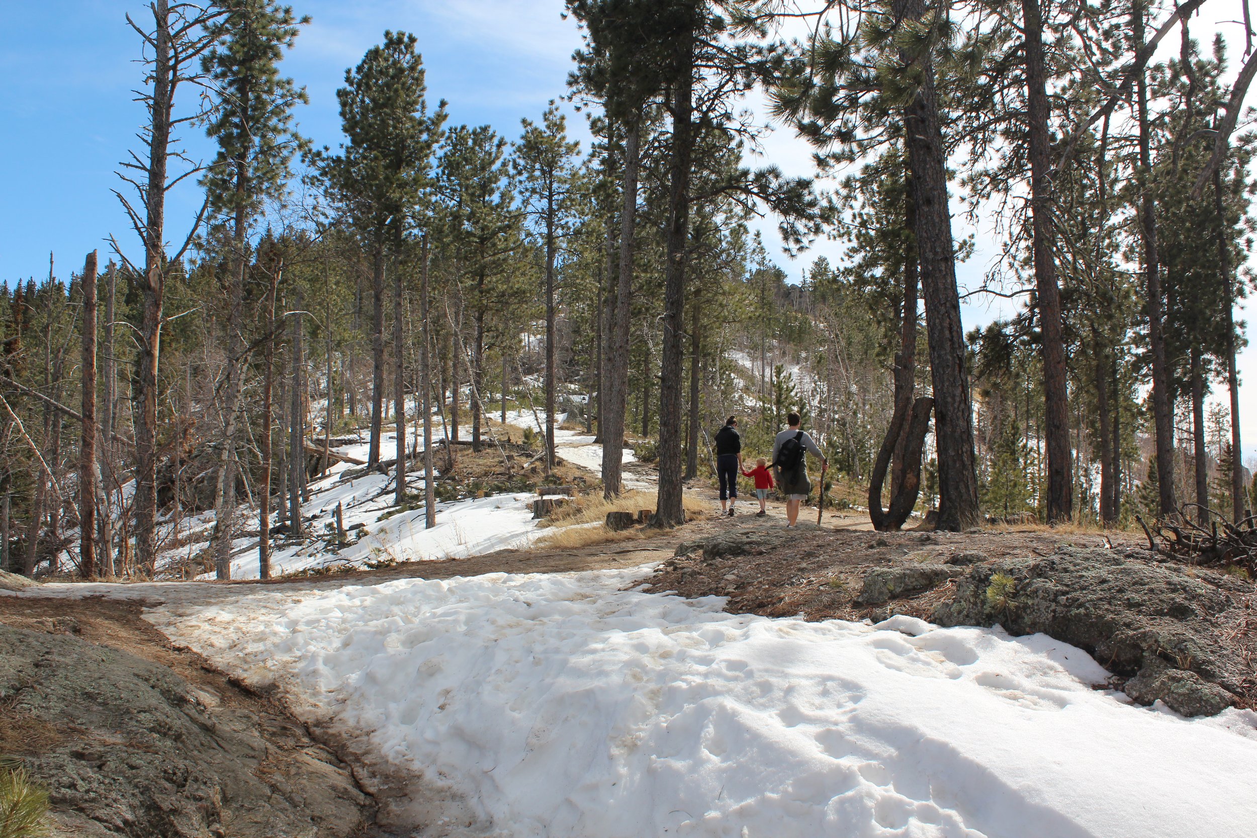
Spring Break hiking could be any of several things. In this particular year, March was in the 80s (thus the shorts) but there was still a decent amount of snow present.
A favorite hiking picture of my 3 year old and exchange student
The frustrating part of this trail to Black Elk Peak is that it ascends this high - and feels almost level with the rock peaks across the valley. But there’s a valley in-between, which means hiking down and back up, and on the way back, hiking down and back up. This is a tough trail.
View from the Black Elk Trail
Another view from Black Elk Trail
Almost to the top
Harney Peak Lookout Tower at the top of Black Elk Peak
Harney Peak Fire Lookout Tower
The Fire Lookout Tower is open, and there are steps that lead to the top. I’m not sure the views are better from the top compared to the deck, but it’s fun to climb through the structure.
My cousin - If you hike with me you get your picture added in the blogs :) This was a trip in the summer and we took the shorter route option.
Views from Black Elk Peak
Feel free to skip my story and scroll to the next picture. In 2012, as I mentioned, my oldest was 3 and I was 20 weeks pregnant so this was not a fast hike to the top. By the time we were at the top, my son really had to go to the bathroom. We told him he could just pee on one of the rocks near the trees away from the trail, but that resulted in tears and much persuasion was required. By the time we finally convinced him that he could just take care of his problem, I realized I needed to go too. There was zero way I was peeing on a rock. No tears from me - I simply wasn’t going to do it. We took just a handful of pictures before quickly walking back down to the car. Chris was less than pleased with me… This is still a frequently told hiking story in my family.
2012 Family Picture at the top of Black Elk Peak - the rocks in the background are Cathedral Spires
The National Treasure movie makes it seem like Sylvan Lake is just behind Mount Rushmore. It’s actually a handful of miles away. The back of Mount Rushmore can be seen though from the top of Black Elk Peak. It’s the large “boxy” rocks in the left middle of this picture. Easy to spot if you know what rock shape to look for.
The large rocks in the middle left are the back of Mt. Rushmore - visible from Black Elk Peak
Beautiful 360 degree views from Black Elk Peak
The below picture was a screen saver for several years when we first got married. My husband and brother-in-law stopped to hike Black Elk Peak one year on the way down to school at Arizona State University.
My brother-in-law jumping on the rocks near Black Elk Peak - and of course this is trick photography
Little Devil’s Tower
Distance / Elevation Gain - The hike up to Little Devil’s Tower is marked in yellow. Tacking the yellow trail onto the hike to Black Elk Peak adds 0.8 miles (total) with an elevation gain of 200ft.
A specific hike to Little Devil’s Tower from the Cathedral Spires Trailhead (purple to yellow and back) is 2.6 miles total, with an elevation gain of 750ft.
Starting at the main Slyvan Lake Trailhead (gray to yellow and back) is 3.7 miles total with an elevation gain of 850ft.
Little Devil’s Tower is marked in the upper righthand portion of the map, with the yellow trail indicating the ascent. Parking is marked with black stars. There are multiple route options.
View from Little Devil’s Tower
I think the view from Little Devil’s Tower is better than Black Elk Peak, mainly because the Cathedral Spires rock peaks are closer, but also because the fire tower on Black Elk Peak is visible. The trail to Little Devil’s Tower is shorter and less elevation than Black Elk Peak, but it requires some rock scrambling to get to the top, versus the hike up to Black Elk Peak is more of a formal trail the whole way up. Ideally, check out both views, since the spur to Little Devil’s Tower only adds 0.8 miles. f mileage is a concern due to time, take the shorter way up from the Cathedral Spires parking lot (rather than the main Sylvan Lake parking lot). See the above section on Location and Parking - SD-87 is closed in the winter months due to snow, meaning that during those months the only parking option will be at Sylvan Lake.
Sign to Little Devil’s Tower spur trail
The spur trail to Little Devil’s Tower is going to be a consistent slope up to get to the top of the rocks. The trail itself though has plenty of beautiful views along the way, which helps distract from the effort needed to tackle a hard hike.
View from Little Devil’s Tower Trail
Another pretty view from the Little Devil’s Tower spur trail
View from Little Devil’s Tower just prior to the main trail ending and the rock scramble section beginning
Eventually the main trail ends. Follow the blue paint on the rocks, which provides the easiest way to rock scramble up to the top.
The way to the top of Little Devil’s Tower is marked with blue paint on the rocks
I’m including the picture below so it’s visible how steep some of the rock scrambling gets. This last section of the hike requires all four limbs to climb to the top. There is no need for ropes or anything technical though. I think elementary age kids would do fine on this trail. My youngest was 11 when he hiked this trail, and he made it to the top easily.
One of the harder sections to scramble up on the way to Little Devil’s Tower
Pausing to assess where the next part of the trail goes
Eventually there isn’t a trail anymore, and it’s just a wide open rock surface to explore.
Exploring Little Devil’s Tower
From the top, there are incredible views in every single direction!
From the top of Little Devil’s Tower
Our Danish exchange student in front of the Cathedral Spires from the top of Little Devil’s Tower
Facing Mount Rushmore (the back of Mount Rushmore is just over my head just slightly to the right)
Copying his uncle and making his own stunt double-worthy rock jumping photo
Survey marker at the top of Little Devil’s Tower
Cathedral Spires
Distance / Elevation Gain - The hikes to viewpoints in the Cathedral Spires are marked in pink. The shortest trail to Cathedral Spires is 2.34 miles (total) with 1,075ft in elevation gain. This route involves parking at the Cathedral Spires Trailhead (purple to pink and back).
Adding the Cathedral Spires to a hike to Little Devil’s Tower or Black Elk Peak adds approximately 0.8 miles with another 350ft in elevation gain.
Cathedral Spires is marked on the right side of the map with the pink trails. Parking is marked with black stars. There are multiple route options.
Trailhead to Cathedral Spires
The reason to hike Cathedral Spires is to get to the those amazing rock structures visible from both Black Elk Peak and Little Devil’s Tower. The top trail marked in pink goes to the base of these spires. We haven’t yet hiked the bottom portion of the pink trail. We combined Sunday Gulch, Little Devil’s Tower and the first part of Cathedral Spires all into one day of hiking, and even though it was just a short spur to the second part of Cathedral Spires, we were all pretty tired. According to other hikers, it was just another pretty viewpoint, and by this point in the day, we were already overwhelmed by beautiful viewpoints. I’ll update this post when we return, as I’m sure we will, to check off that last view.
Compared to both Black Elk Peak and Little Devil’s Tower, the hike to Cathedral Spires is fairly easy. Keep your eyes open for mountain goats in this part of the park.
Mountain goats along the Cathedral Spire rocks
Nearing Cathedral Spires
We stopped here and ate a picnic lunch under these towering rocks. While we were eating, another group of hikers passed us who were from the same small-ish city we live in. One of my favorite things about hiking is stopping and getting to talk with people that we will likely never cross paths with again, but it’s fascinating when we find people that we actually could potentially see again - and humbling how the world can be so big and small at the same time.
Cathedral Spires
The trail goes right up to the base of these huge towering spires.
Cathedral Spires from below
Other Nearby Things To Do
Black Hills Vacation Guide
Drive Needles Highway
Drive the Wildlife Loop in Custer State Park
Visiting Mount Rushmore
Explore Waterfalls along Spearfish Canyon
Hike Around Devils Tower National Monument
Tour Jewel Cave National Monument
Tour Wind Cave National Park
Exploring Badlands National Park
Visit Minute Missile National Historic Site
Swim at Hippie Hole
More From NatureImpactsUs.com
To see additional hikes I’ve written about around the country, click on a pin, and then click on the hyperlink. Use two fingers to zoom in and move around within the map.


