
Big Spring Falls near Banning State Park
If you enjoy my posts, please consider signing up below to get email notifications of my latest posts. I will not share your email.

How to Find the Perfect Place to Hike with your Kids?
Happy little hikers make happy moms and dads, so finding a fun place to hike is an important aspect to planning your day in the woods. My boys love hiking on rocky surfaces that require a bit of climbing – hikes that require use of your hands are always a bit more fun and adventurous. If there’s water to throw the rocks into, that is even better. And lastly, they think a destination like a waterfall, is more fun than just wandering around in a loop. Banning State Park in Minnesota checks all of these boxes! This park and the surrounding area along the Kettle River is thoroughly loved by my family.

Scaling the rocks along Wolf Creek Trail
Planning Your Trip
Reference the below interactive map for places to hike within 2 hours of Minneapolis and St. Paul, MN. Use two fingers on the map to zoom in and look around. Check out my other posts to find additional blogs of these hiking locations.
Location and Entrance
The entrance to Banning State Park is off of I35, just north of the town of Sandstone, MN. It is about an hour and a half north of both Minneapolis and St. Paul and an hour south of Duluth. This is a Minnesota State Park, therefore you will either need an annual MN State Park Pass or a day pass to park within the State Park.

Kettle River along Hell’s Gate Trail
Time Needed and Other Things to Know
If you plan on hiking at Banning, I would estimate 3-5 hours depending on how far you want to hike. Some of the trails are a bit difficult to follow at points, especially Hell’s Gate Trail and Wolf Creek Trail. If you keep hiking in the right general location, you should meet back up with the trails. If you get a little lost, this is obviously going to add a bit of time to your planned hike. If you want more piece of mind, a good trail GPS app, such as Gaia GPS comes in handy in this park, and does a pretty good job of keeping you along the intended path.

Between Hell’s Gate Trail, High Bluff Trail, and Wolf Creek near the falls, the trail meanders through the woods, and can be sometimes difficult to see for brief sections
The surfaces of the trails range from grass to hard dirt and boulders. There are also some short sets of steps that need to be navigated. If you are hiking just after a rain, beware of trail flooding along the Trillium Tail.

Steps along the Quarry Loop Trail
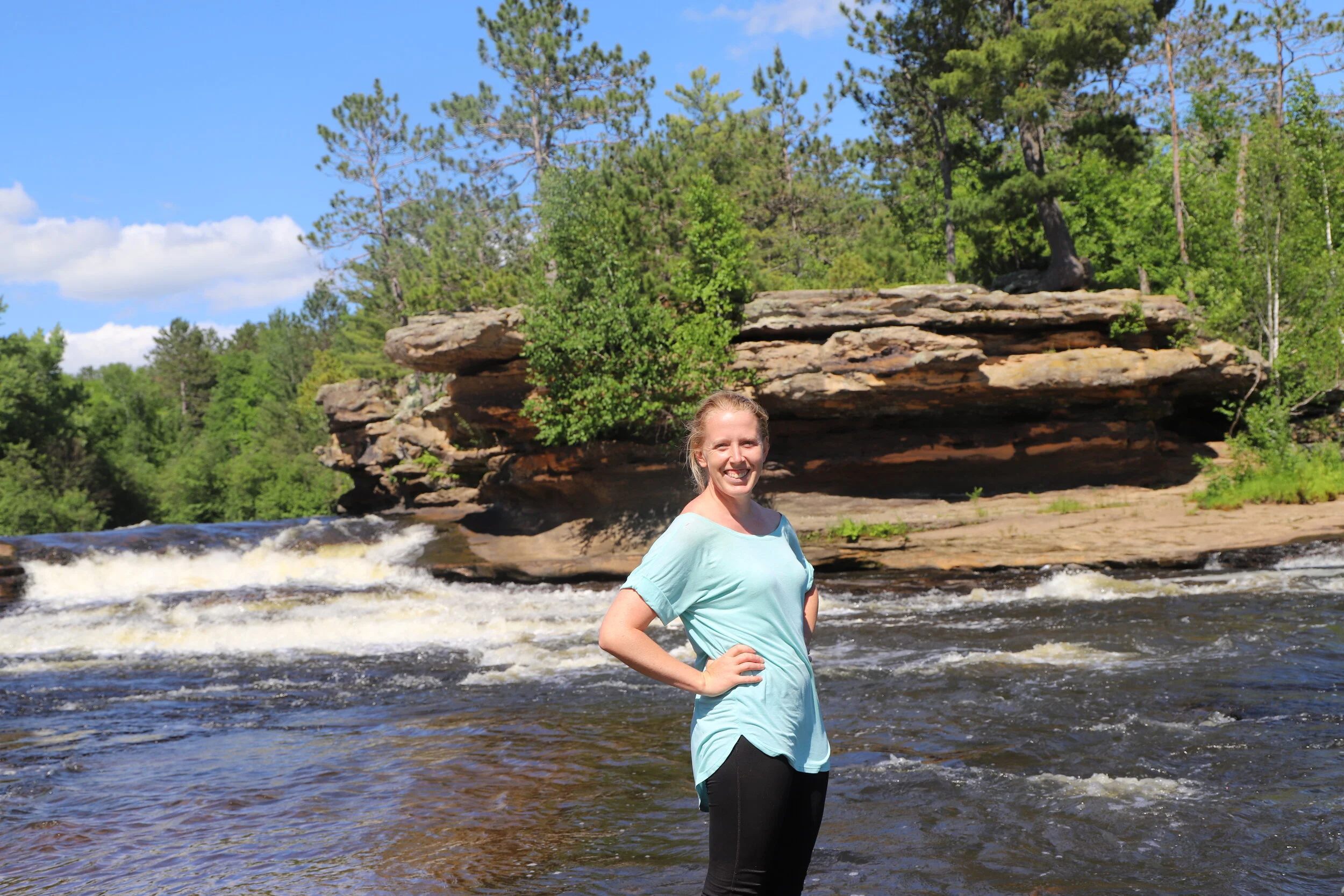
The Kettle River flows through Banning State Park, but not all of the trails follow it. If you pick a trail such as Wolf Creek, I would recommend adding on a just a bit before you head home - walk the short distance from the parking lot to the viewpoint along Blueberry Slide Rapids and skip a few rocks along the shore. The Kettle River is beautiful and very much worth a few extra minutes.

Blueberry Slide Rapids is about a quarter of a mile from the parking lot, and a great place to stop and skip some rocks.
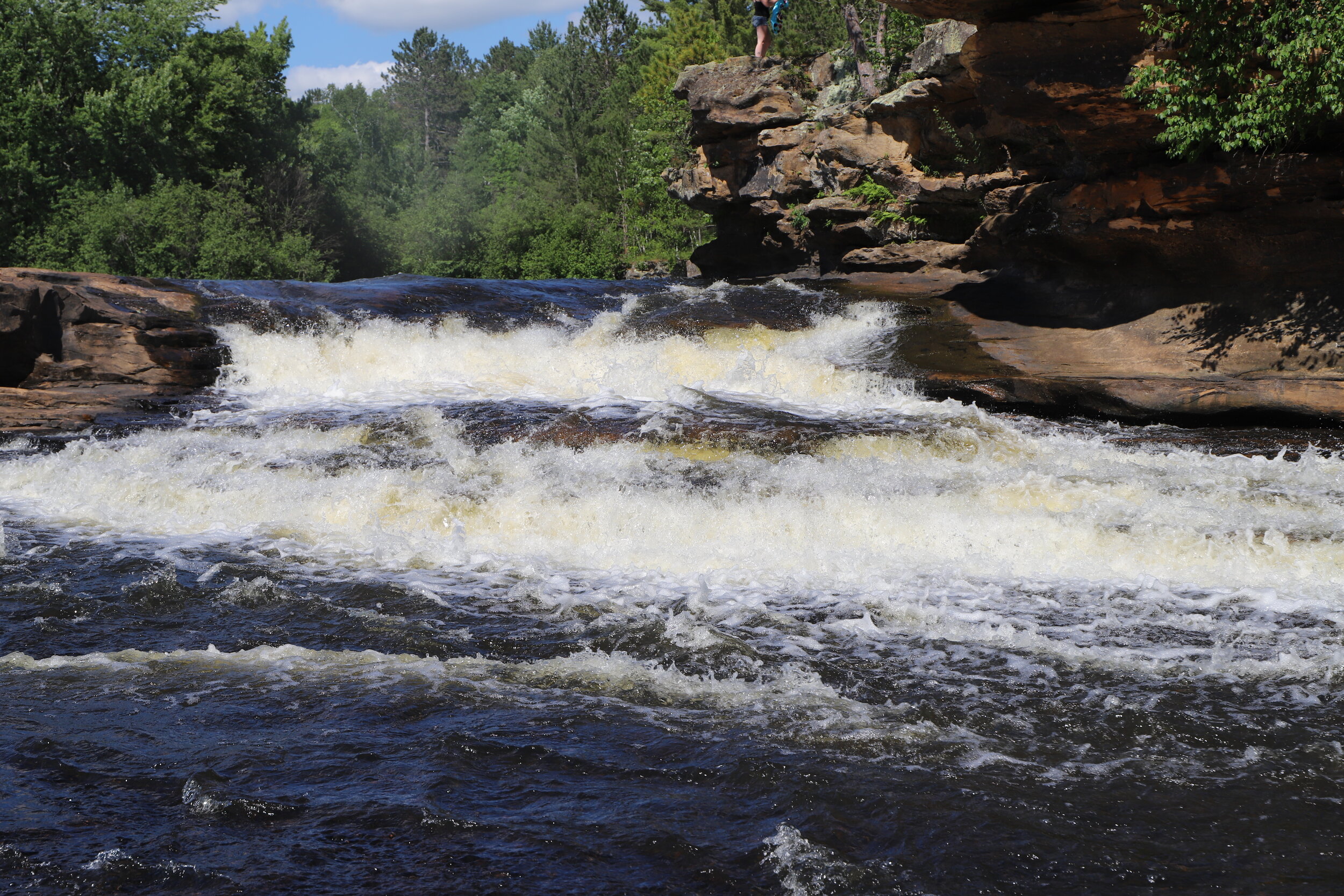
If you are heading back to Minneapolis or St Paul, along I35, one other place I’d recommend stopping would be at Big Spring Falls, which is just a bit further south. See below in the Other Attractions section for more information. If you stop at Big Spring Falls, plan to add at least another hour on a hot day as it’s a great place to step inside the river and get wet.

Playing in the Kettle River at Big Spring Falls near Sandstone, MN
Hikes at Banning State Park

Annotated Banning State Park Map with approximate mileage: Suggested parking circled in red. Yellow - (0.5 miles) Blueberry Slide Rapids. Blue - (2 miles) Quarry Loop Trail. Green - (1 mile) Hell’s Gate Trail. Purple - ( 2 miles) High Bluff / Wolf Creek Trail to Wolf Creek Falls. Brown - (2.5 miles) Wolf Creek to Trillium Trail)
Blueberry Slide Rapids
A fun place to start your adventure at Banning State Park, or a relaxing way to end it is skipping some rocks and putting your feet in the water at Blueberry Slide Rapids. The trail is approximately a 0.5 mile loop from the parking lot. The trail continues on to the Quarry Loop Trail if you prefer not to do a quick loop.

Blueberry Slide Rapids at Banning State Park
Quarry Loop Trail
The Quarry Loop Trail is a little shy of 2 miles. It follows along the Kettle River for beautiful views and then goes past some old buildings that were originally used during Banning State Park’s days as a quarry. You can wander around and explore these remains. If it has rained recently though, note that the trail will likely be dry but wandering off towards the building might result in boot-high water. The trail is relatively flat but does include some short up and downs along rocks that are turned into steps. This trail is easy to follow and has a slight bit of an adventurous feeling to it. Both of my boys enjoyed it.

Hiking up the rocks along the Quarry Loop Trail

More beautiful views of the Kettle River follow spurs from the Quarry Loop Trail
Hell’s Gate Trail
You can connect the Quarry Loop Trail with Wolf Creek Falls if you continue to follow Hell’s Gate Trail. This trail is a little less than a mile, however it is quite a bit more challenging than the Quarry Loop. You will lose the trail for a moment. Pay attention to where the Kettle River and go upwards to stay away from the cliffs. We used Gaia GPS to quickly get us back to the trail. I could see this an easy place to get lost for a moment without a similar tool. This was a fun place to hike as it really had a backwoods feel to it and had some fun rocks to scramble over as we picked out our own path.
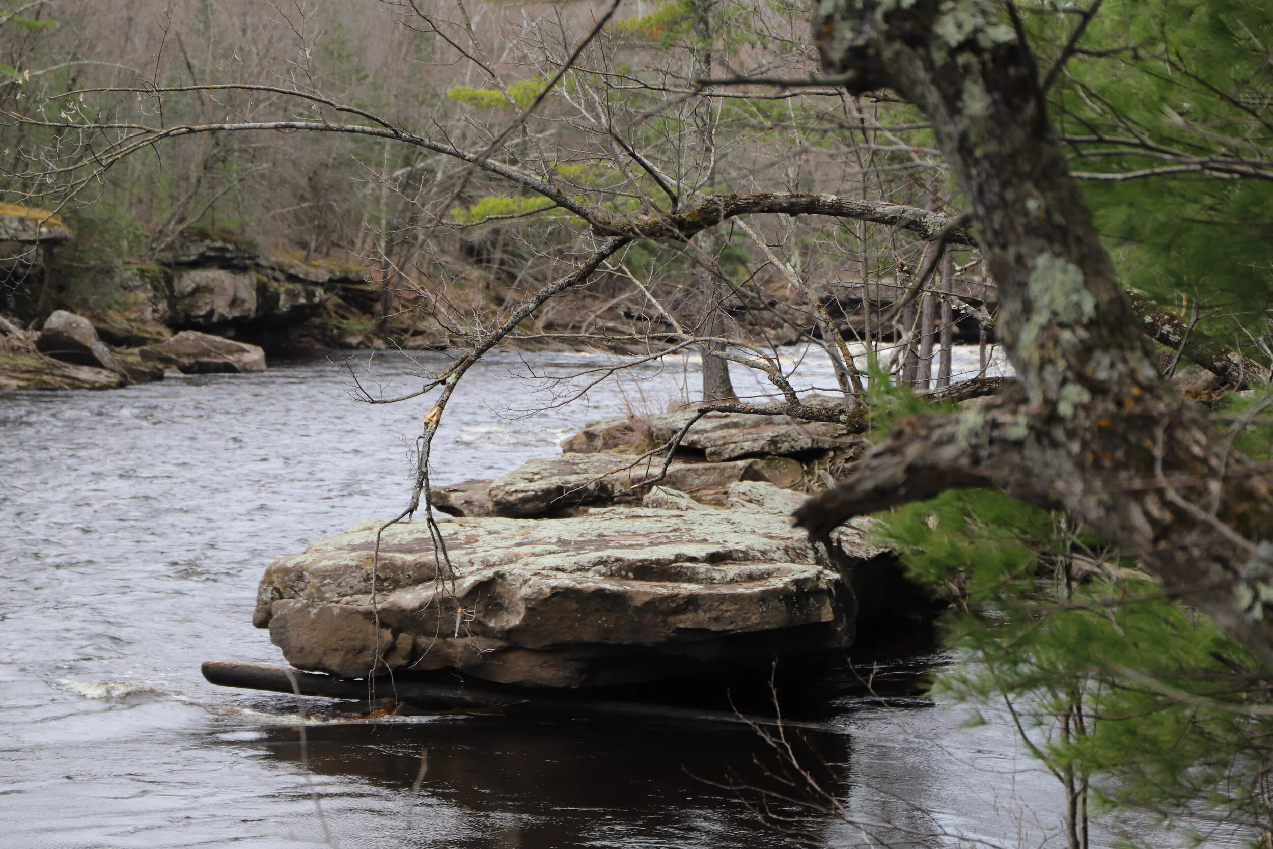
Kettle River along Hell’s Gate Trail
High Bluff Trail and Wolf Creek Trail to Wolf Creek Falls
If you take the split from the Quarry Loop Trail to High Bluff’s Trail, the loop to Wolf Creek Falls is about 2 miles. On my first trip to Banning, my boys were 3 and 7. I stopped into the Visitor Center to get a map, and the ranger saw my young children and suggested I take the Quarry Loop Trail. I told her we were planning on hiking to Wolf Creek Falls, and she cautioned it was a rocky trail that required some rock scrambling. I smiled and just said thank you, as she described about the most perfect kind of trail one could imagine for young boys. And we had an awesome time! This first hike we did not have a GPS trail app, and there was one small portion where we weren’t quite sure where to go, but we quickly figured it out. The waterfall is not the most impressive of MN’s waterfalls, but for kids it makes a nice destination to hike to.

Wolf Creek Falls
Wolf Creek to Trillium Trail
If you are looking for some different scenery on your way back to the parking lot, stay on Wolf Creek Trail and then take the split onto Trillium Trail. The trail will go near the campground, which may be useful if you need a bathroom break. This trail takes you past a pretty meadow, although I must admit - when we hiked this trail it was pouring. The grass covered trail was flooded, and it was a bit like hiking back to the car in a swamp - one of the more miserable moments I’ve had as a hiker. On a drier day in the summer, I’m sure this is a nice return hike. Due to our misery in hiking it, I didn’t take any pictures to capture our magical moment…
Combining It All Together
If you are looking for a longer hike option, my most recent trip to Banning, we began at Blueberry Slide Rapids, then hiked to the Quarry Loop, took the split to Hell’s Gate, forged our way to High Bluff and Wolf Creek Falls, and then took Wolf Creek Trail to Trillium Trail and back to the parking lot for a combined mileage of 6.36 miles. With a 7 and 11 year old, this route took us just under 4 hours.

Banning State Park from Gaia GPS - The blue dots represent every 0.25 miles
Other Nearby Attractions
Big Spring Falls
Big Spring Falls is just south of Banning State Park, and it takes about 11 minutes to get there from the park entrance. You should be able to find the trail head location if you enter “Big Spring Falls” into Google Maps. The falls are just outside of Sandstone, MN. You will take Hwy 23 into Sandstone, MN, and then turn left on 3rd St. You will make a right on Pine Ave. There is a small dirt parking lot at the trailhead, but no sign. One side of the parking lot has a hill. Don’t go on that side. Look at the other side, and you will notice a small dirt trail. Out and back to the falls was 0.75 miles. The Kettle River is pretty shallow here and has a nice rocky surface which is perfect for wading. We walked right up to and over the falls. This short hike has been one of my boys favorite finds this summer.

Trail to Big Spring Falls in Sandstone, MN

Kettle River at Big Spring Falls near Sandstone, MN
Big Spring Falls - One of my favorite hikes so far in 2020!
More From www.NatureImpactsUs.com
There are posts linked to each pin below.