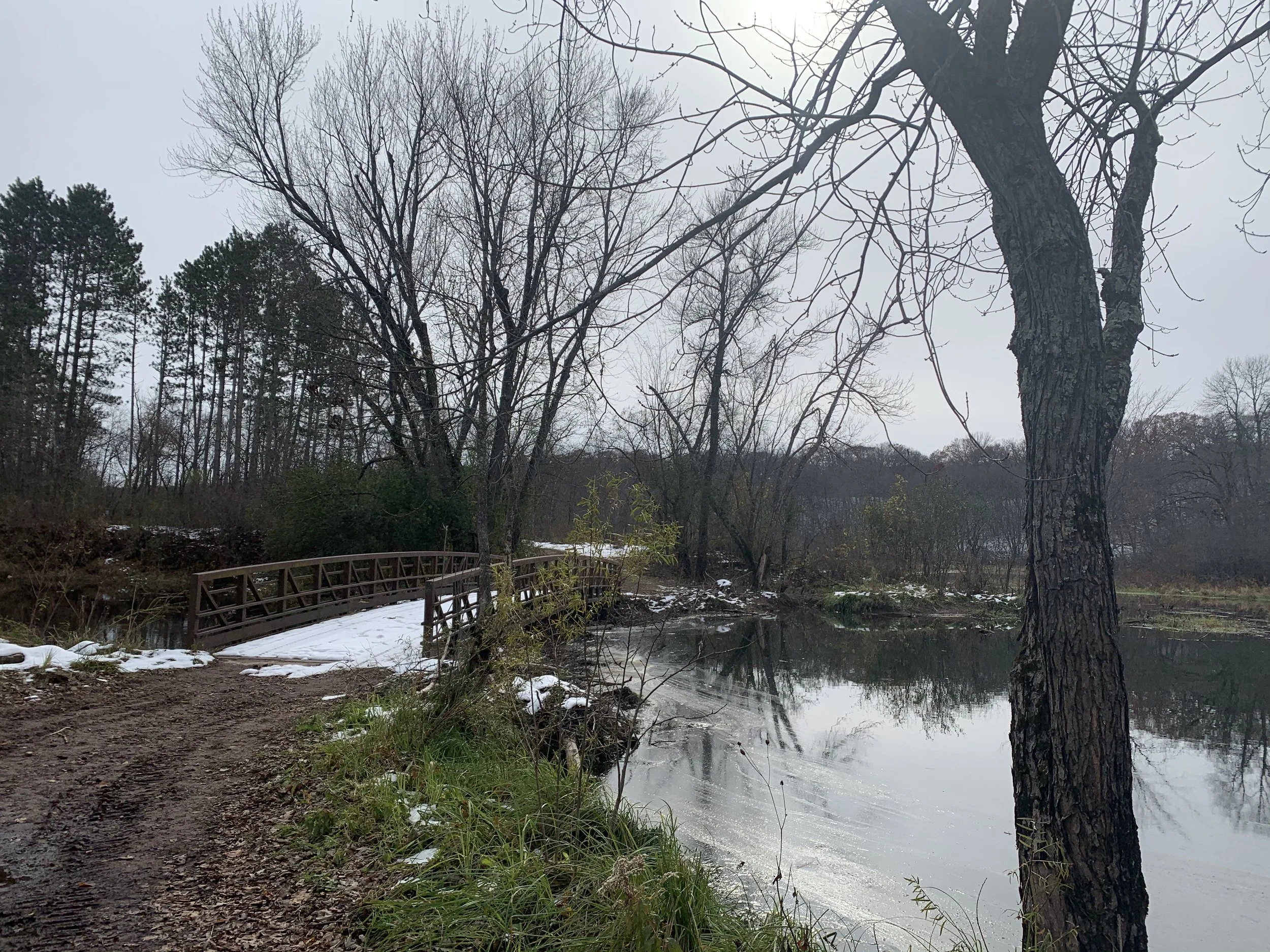
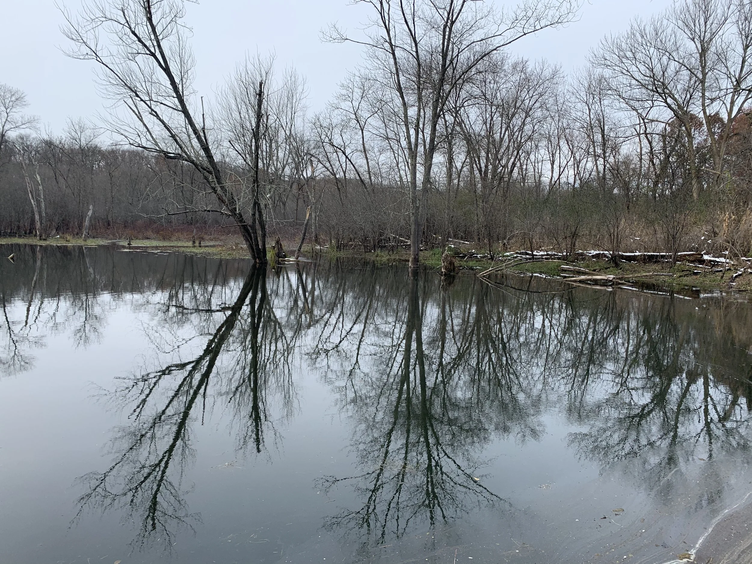
Bridge over Dry Creek at Wild River MN State Park
If you enjoy my blog, please consider signing up below to get email notifications of my latest posts. I will not share your email.
Quiet Oasis
If you are looking for a park to stop, take a few Instagram-able photos to say you were there, and then bounce over to someplace else nearby, Wild River is not the right place for you to be. Wild River State Park does not have any waterfalls, rocks to climb on, or impressive ruins. But if you are looking for quiet place to watch for wildlife, ponder your thoughts, get in a nice long hike, and let your kids run on the trails ahead of you, Wild River might be your best option near the Twin Cities metro. At about an hour drive from either St. Paul or Minneapolis, this park does not have the same crowds as Interstate, William O’Brien, and Afton. In fact, if you stay off of the Hiking Club trail, you may feel like you’ve got the place to yourself.
Planning Your Trip
See the below interactive map for additional places to hike in Minnesota and neighboring states. Use two fingers on the map to zoom in and look around. Links to blog posts for each pin are included.
Location and Entrance
Wild River State Park is northeast of both Minneapolis and St. Paul along the St. Croix River just across from Wisconsin. You will enter the park from County Road 12 (also known as Park Trail). Reference the red arrow on the below map. Circled in red is where you will stop to pay the park entrance fee if you do not have an annual MN State Park pass. (Note: I would recommend buying the pass - it’s based on a 12 month-rolling calendar, and it doesn’t take too many days of hiking in the year to make up the cost of the pass)
From here, you have a few options for parking. I would recommend the parking lot circled in blue. This is where the visitor center is located, which includes bathrooms. Another good option if you are planning on hiking the main trail down the river is the green circled lot. If you are planning on launching a boat, there is separate parking, circled in purple. And the lot circled in brown is not near much other than the campground. If you park here, you are going to have a ways to walk to get to most of the trails in the southern part of the park.
Wild River State Park - Parking Options
Time Needed and Other Things to Know
As I mentioned above, there is a fee to enter this State Park, unless you already have bought the annual MN State Park Pass. There are no nearby food options so bring snacks, water, and a picnic lunch if you are spending the day. This is a park I would plan to spend 2-4 hours for a nice relaxing hike.
Meadow along Pioneer Trail
Hikes at Wild River
There are lots of great things about Wild River State Park, but the official park map is not one of them. The mileage is very confusing and somewhat misleading, and some of the trail loops are quite long, which means you could end up accidentally hiking much further than you planned. Below, I’ve highlighted my three favorite routes with the mileage I recorded on my GAIA app using GPS to help you better interpret hiking distances.
St. Croix River
The most popular hike at Wild River is the MN hiking club trail that is highlighted in yellow. This flat loop is 3.25 miles and an easy walk. If you are looking for a pretty trail along the St. Croix River, I think this trail is better than the Riverside Trail at William O’Brien State Park because it follows the river shoreline more closely and the view is more open along the river with less tree growth. The downside of this trail is that the way back along the Old Logging Trail is paved. Not that there is anything wrong with a paved trail, but if I’m hiking, I prefer to have the ground beneath my feet. If you want to skip the paved section, follow the red route, which is 4.25 miles.
St. Croix River at Wild River MN State Park
As you can see from these pictures, the trail goes right along the river.
St. Croix River at Wild River MN State Park
There are benches to stop and sit and have a snack. Nearby there are also sort trails that lead directly down to the water.
Chilling on a quiet day with the park to ourselves
My favorite time to visit Wild River is in the fall with colors reflecting on the still water.
St. Croix River at Wild River MN State Park
Down by the boat launch, there is a public dock. It was a fun spot to take family pictures.
There are lots of loops within other loops at Wild River. At the southern most part of the MN Hiking Club Trail, there is a branch off to Amik’s Pond. This is pictured below.
Amik’s Pond Trail
If you hike back along the Old Logging Trail, as I mentioned before, it is paved. The tree canopy along the trail though is still pretty incredible in the fall.
Old Logging Trail
Highland Hills and the Meadow
The trail highlighted in orange is my favorite hike in Wild River, and it is 4.75 miles long. This is a less busy section of park, and hits all of the different habitats. One watch out though, especially in the Highland Hills area, is that there are several trail junctions are some of them can be confusing.
Dry Creek Trail at Wild River MN State Park
Park at the visitor center and head east. The trail will take you back towards the park entrance. The trail remains relatively flat until you hit the Highland Hills. It doesn’t matter which way you pick as they all kind of go in the same loop. I like to follow the water, and the middle trail has lots of great viewpoints and places to get close enough to play in the water.
Highland Hills at Wild River MN State Park
Views of the creek along the Highland Hills
Spots along Highland Hills where the trail gets right next to the creek
More hills, wide trails, great spots for kids to run
Bridge crossing on Highland Hills at Wild River MN State Park
This is one of my favorite places along Highland Hills. With no one around, my boys can play on the bridge, under the bridge, along the creek, and in the creek. I just sit on the bridge and enjoy listening to their imaginations and appreciate that we have these shared spaces in our state where we are free to explore without feeling like we could be bothering someone.
Highland Hills Trail at Wild River MN State Park
Playing along the creek
My boys were 7 and 11 at the beginning of the pandemic. When schools were closed, we spent our Fridays hiking. All I wanted was some spaces for my kids to just be kids in the middle of the uncertainty and stress. The Highland Hill Trail has so many of these spots that are perfect for kids to play in if you just sit back and give them some time.
Preparing for the Stick Game along Highland Hills
The Highland Hills Trail then feeds into the Pioneer Trail, and it opens up into a beautiful meadow. Along the trail there are backpacking sites. The sites are fairly secluded, but they aren’t far from a trail that can easily be hiked in a day, meaning there could be traffic quite near your campsite.
Pioneer Trail - Wild River MN State Park
View of the meadow from the Pioneer Trail
To get back to the parking lot, you are going to hang a left on Deer Creek Loop. There is another bridge that crosses the creek before you join back up with the Hiking Club trail. This bridge is another great spot to stop and let your kids play.
Bridge over Dry Creek
Creek just past the above bridge
If you still want to see a bit of the St. Croix River, but don’t want to do the full St. Croix River loop, then just walk up to the boat launch, circle back for a quick moment along the road and take Amik’s Pond Trail to get back to your car.
Deer Creek Loop
My third trail recommendation is Deer Creek Loop, which is 4.75 miles assuming you park near the visitor center. You will cross that same bridge that I’ve shown in the previous picture and follow the river. This trail though only comes close to the St. Croix River in one spot, and the rest of the trail is wooded. If you are looking for a trail that follows the river, follow the MN Hiking Club trail instead of this one. The best part of Deer Creek Loop is the back side where there are some beautiful views of Deer Creek.
Deer Creek at Wild River MN State Park
Deer Creek at Wild River MN State Park
More from www.NatureImpactsUs.com
Posts are linked to each pin below.


