Last updated - October 2024
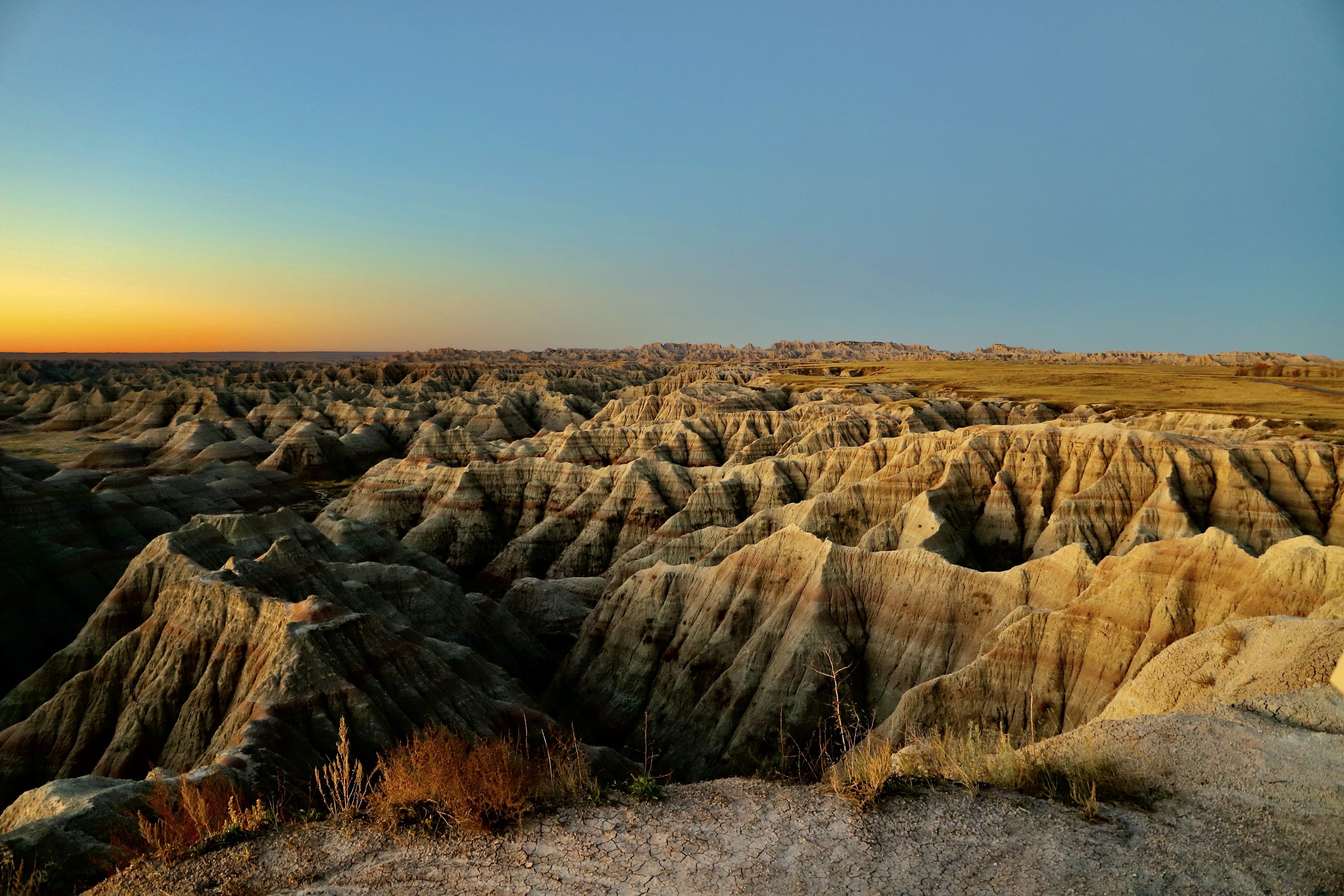
Sunrise at Big Badlands Overlook
If you enjoy my posts, please consider signing up below to get email notifications of my latest posts. I will not share your email.
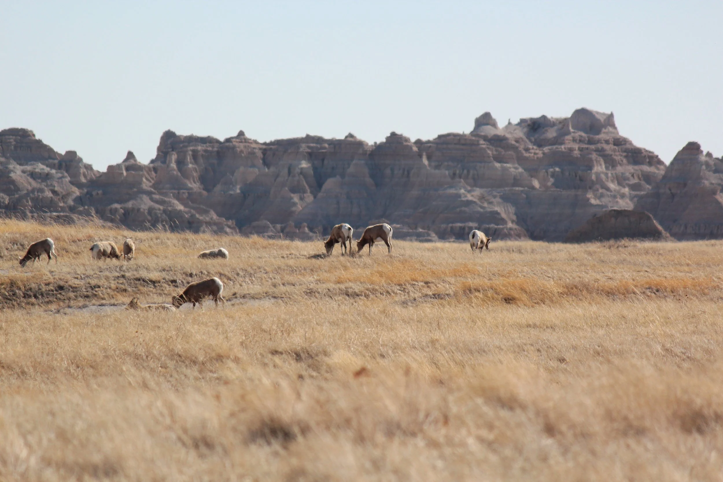
Mountain Sheep at Cedar Butte
Badlands National Park
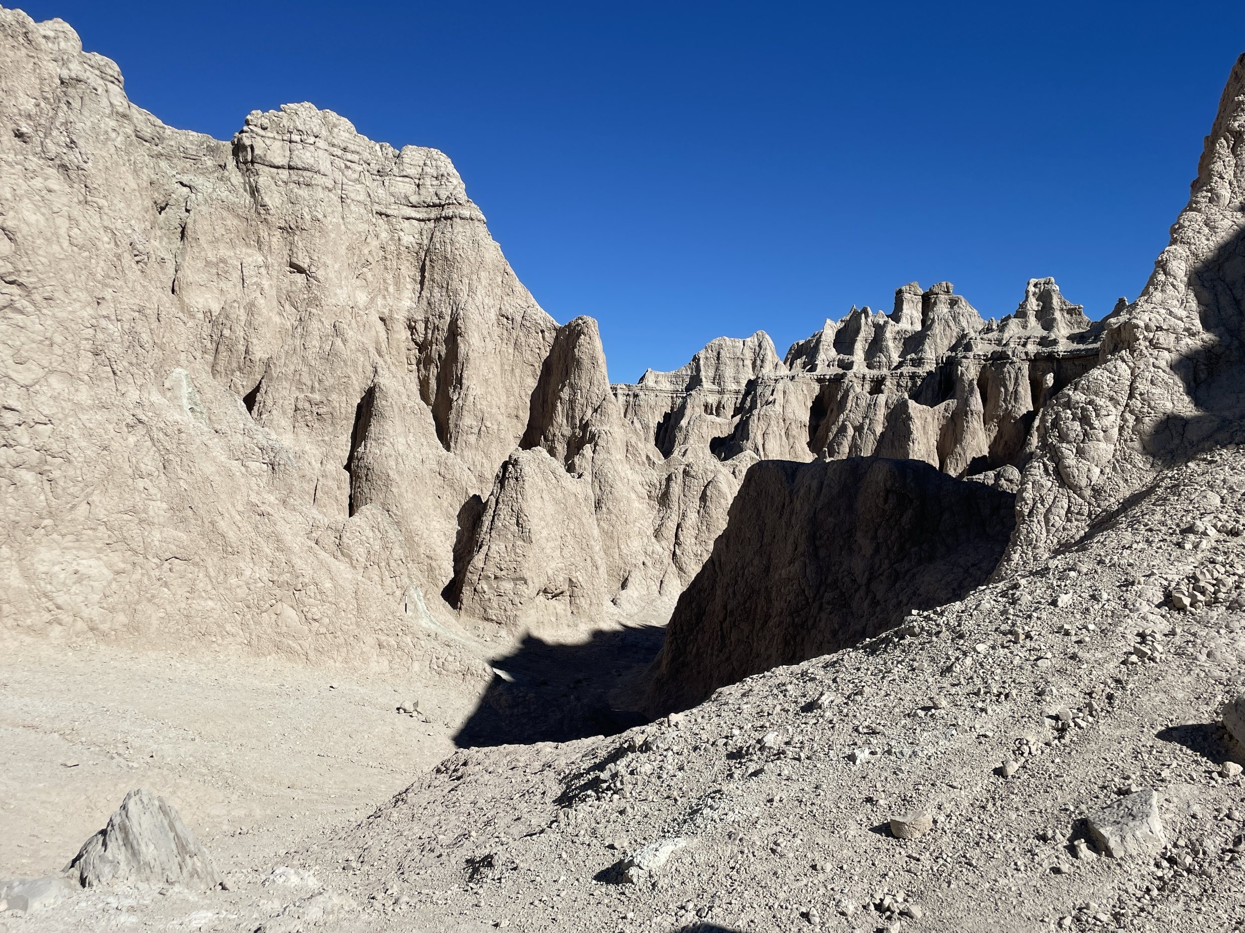
Badlands is one of my favorite National Parks. As of 2024, my family has been to the Badlands eight times - it’s hard for me to drive past this park. Even though the Badlands are conveniently located close to the I-90 exits, I’ve never seen this park even a little bit busy. The rock formations are unreal with their multi-colored bands and endless formations, some of which continue in multiple directions for miles. The rock looks sturdy, but pick up a piece of it up from the ground, and it crumbles like hard mud. As the trails wind along the rock walls, it seems magical they haven’t completely eroded away yet.
As pretty as the rocks are, the real reason I can’t drive past Badlands National Park without stopping is the wildlife. I simply love mountain sheep, and we see them every time we visit, typically in predictable places. There are also the sweet prairie dogs who are so fun to watch play. I’m not sure how much I care about the bison, but we see those on each trip too. Included within the post below, I will note where we have commonly seen animals along the various Badlands Loop Road stops.
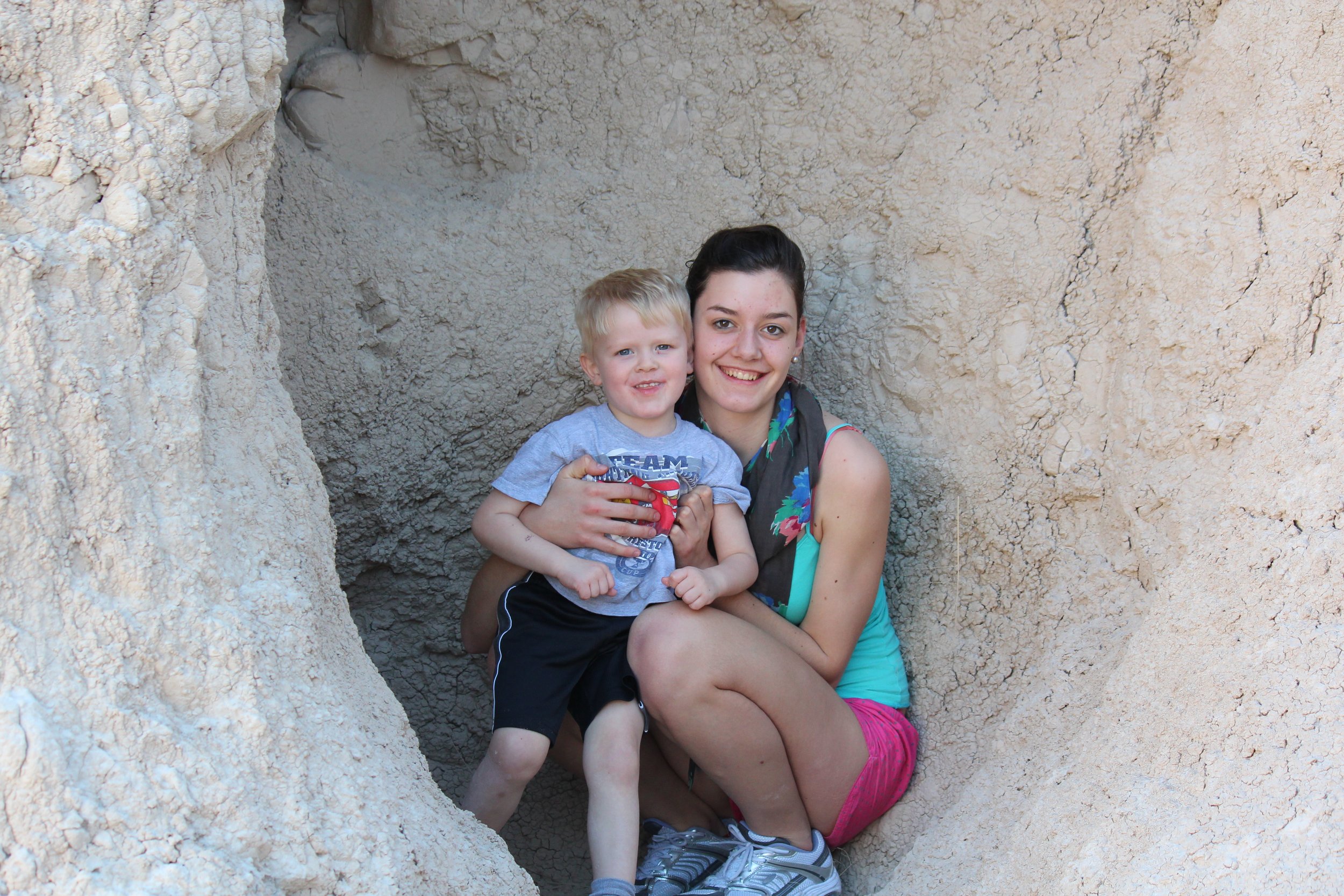
One other reason I love to stop at Badlands is that it is a great place to explore, even with young children. There are several short hikes throughout the park, as well as places to climb, and holes in the rock to hide.
Deer in the early hours near the Notch Trailhead
Wild Bison practically waving goodbye to us at the Pinnacles Exit - I’ve never seen such a perfectly “placed” bison
Planning Your Trip
There won’t be crowds of people at Badlands, but double check your trip doesn’t coincide with the annual Sturgis Motorcycle Rally in early August. This park does not require permitted entry, and there really isn’t anything that needs to be done ahead of visiting, other than deciding how much time is needed to explore the park and where to spend the night. Badlands can be a quick stop along an I-90 road trip, or up to a two-day stop. The majority of the park is visible from the main Badlands Loop Road, but there are several places to hike, and options to get further “off the grid.” Minute Missile National Historic Site and Wall Drug are also great stops just miles away from Badland.
We typically hike a couple of miles at Badlands and add a stop at the Ben Reifel Visitor Center, so this is usually a half-day trip for us. Remember though that I said we’ve been to this park eight times, so we’ve explored different sections on different trips. For anyone planning on visiting the whole park just one time, plan to spend the night nearby and at least a full day at the park.
Reference the below interactive map for Badlands National Park trailhead locations, viewpoints, and other nearby activities. Use two fingers on the map to zoom in and look around.
For other things to do nearby, check out my Black Hills Family Vacation Guide. A trip to the Black Hills can easily last a week.
Nearby Cities and Lodging Information
The northeast entrance to the park is not quite four hours west of Sioux Falls. Sioux Falls is a great city to spend the night on either side of the visiting Badlands, for those traveling to or from the east. Rapid City is an hour to the west of the Badlands, and this would be my suggestion for where to make a basecamp for anyone travelling to the Black Hills for a vacation. Within Rapid City, we’ve camped in KOAs, enjoyed cabins in nearby Custer State Park, and there are several hotels in the city that have nice, heated indoor pools.
For anyone looking to spend the night closer to Badlands, there are campgrounds within the National Park and hotels in the nearby city of Wall - note that we haven’t stayed in either.
I would recommend stopping at Wall Drug for supper after a day of exploring the Badlands. There’s probably been a hundred “xxx Miles to Wall Drug” signs by this point in the journey, so it might make sense to stop and see what the fuss is about? Wall is next to the Pinnacles entrance on the way back to I-90. There is a large café that serves tasty food quickly with cafeteria-style efficiency.
Sign for Wall Drug at our local pumpkin patch in Minnesota
Location and Park Entrances
Badlands National Park is located in the western side of South Dakota, just off of I-90. The majority of the park is visible by taking the Badlands Loop Road between the Northeast and Pinnacles entrances (exits 131 and 110, respectively, from I-90). Sunrises are spectacular from Big Badlands Overlook, next to the Northeast entrance. For an extremely remote experience of the Badlands, drive down to the Stronghold Unit (within the Pine Ridge Reservation).
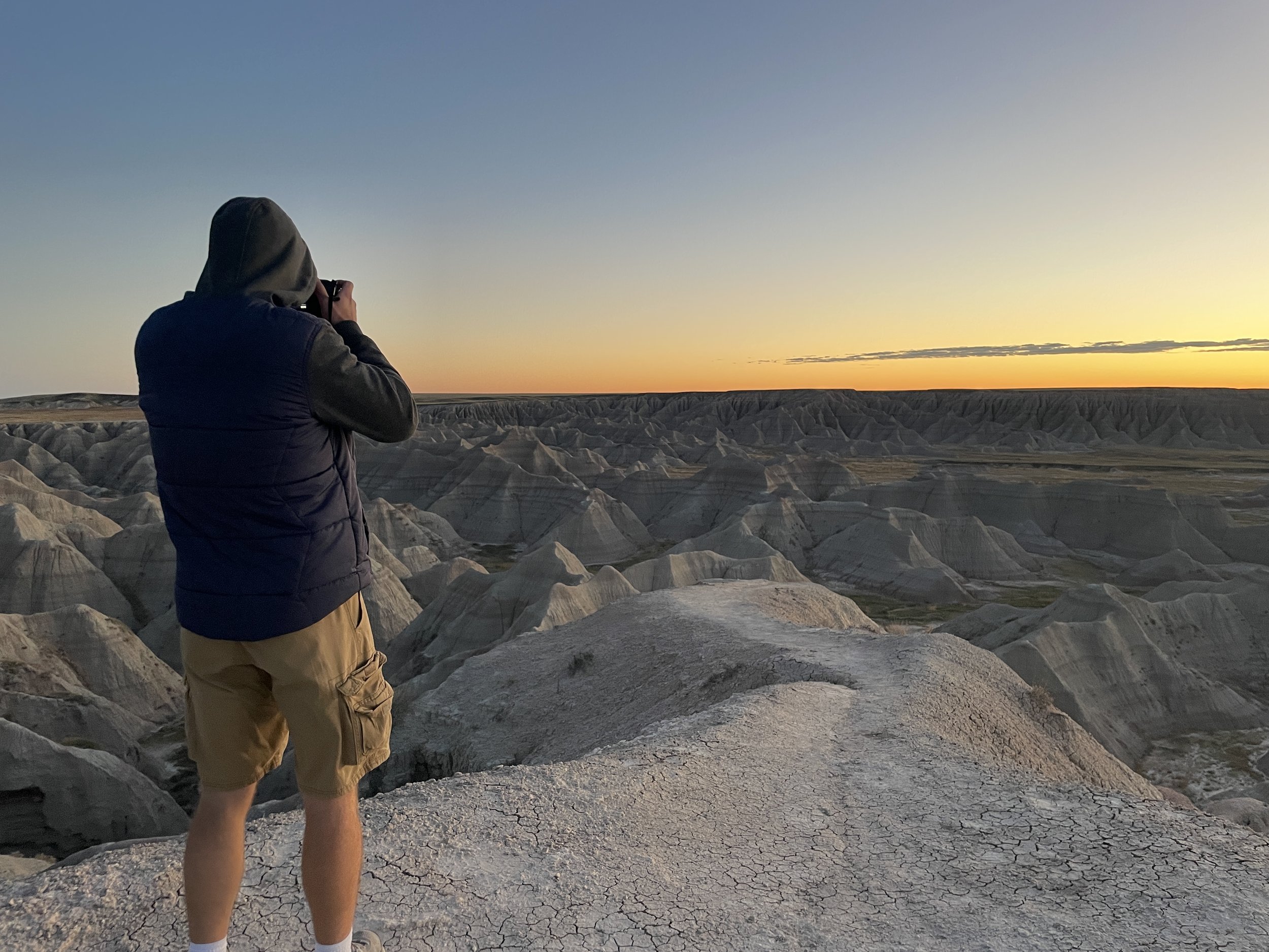
Watching the sunrise at Big Badlands Overlook
Hiking, Viewpoints, and Wildlife at Badlands National Park
These rattlesnake signs are plentiful in the Badlands at the trailheads. Although I haven’t yet actually seen a rattlesnake, I do appreciate the warning.
The below map gives a high-level view of where the trailheads, viewpoints, visitor centers, and other nearby activities are located. Sometimes it’s nice to simply see where things are at and what’s near what to help with trip planning. I will use the same numbering system through the rest of this post. Additionally, there are hyperlinks in the captions. Click on the name, and the screen will move to that section of the post, which will include additional information and pictures. There will be a link at the end of each section back to this map.
Hiking Trails and Viewpoints (blue)
1 - Prairie Homestead, 2 - Big Badlands Overlook, 3 - Unnamed pullout for views, 4 - Door, Window, and Notch Trails (pit toilets available). Connection available to Castle Trail, 5 - Cliff Shelf Nature Trail, 6 - Saddle Pass and connection to Castle Trail, 7 - Fossil Exhibit Trail and connection to Castle Trail, 8 - White River Overlook, 9 - Bigfoot Pass Overlook, 10 - Panorama Point, 11 - Conata Basin Overlook, 12 - Yellow Mounds Overlook, 13 - Ancient Hunters Overlook, 14 - Pinnacles Overlook, 15 - Sheep Mountain Road, 16 - Cedar Butte
Non-hiking points of interest and other activities (green)
A - Northeast Park Entrance, B - Ben Riefel Visitor Center, C - Pinnacles Entrance, D - White River Visitor Center, E - Wall Drug, F - Minuteman Missile Visitor Center, G - Minuteman Missile Launch Control Delta-01, H - Minuteman Missile Silo Delta-09
We live in Minnesota, so we typically enter the Badlands at the Northeast entrance and leave at Pinnacles. I’ve written this post, therefore, from east-to-west. I don’t think it matters which direction to drive the Badlands Loop. The animals are going to be in different spots each time, and the best views are from the pullouts, parking lots, and trails, which are independent of driving direction. There are more hiking options on the east side of the park, in case it matters when in the day hiking is preferred. Shade is hard to come by, so consider hiking earlier or later in the day during the summer months.
Badlands National Park map of the northeast entrance
1 - Prairie Homestead
Distance from Badlands Northeast Entrance: 1 mile outside of Badlands National Park
Trail Information: N/A - There is a small walk required from the parking lot to see the prairie dogs and settler home. Expect to walk less than 0.25 miles, and the paths are flat.
Prairie Dog at the Prairie Homestead
After taking exit 131 from I90, the first stop at Prairie Homestead is just prior to entering Badlands National Park. The Prairie Homestead is free, although it’s only open seasonally. There is a gift store, a prairie dog town, and information on the region’s settlers and their homes. The home built into the hill makes me grateful for the time in which I was born - a life blessed with hot showers, heated homes, and electric stoves. This stop does not require much walking and is a great overview of settler life. This stop is also my favorite for prairie dogs, but there are going to be several more prairie dog towns along the Badlands Loop Road.
Prairie Homestead
Why is this park called the Badlands? The climate is extreme - winters are cold and windy, the summers are hot and dry. There are no big trees to block wind or the sun, leaving the land very exposed. There are few water sources, and when it rains, the clay in the dirt makes travel on non-paved surfaces difficult to cross. Badlands means “Bad Land.” This region was difficult to travel across before roads were paved, and it was a harsh place to live before electricity.
A - Badlands Northeast Entrance
A mile after the Prairie Homestead, the road passes by the formal Northeast Entrance Pay Station. This park does require an entrance fee or an annual National Park Pass (America the Beautiful).
2 - Big Badlands Overlook
Distance from Badlands Northeast Entrance: 0.25 miles
Trail Information: Great views are possible from just the parking lot. There is also a short place to explore along a dirt route, and a more formal wooden walkway. Both routes are flat. Expect to walk no more than 0.25 miles.
Big Badlands Overlook
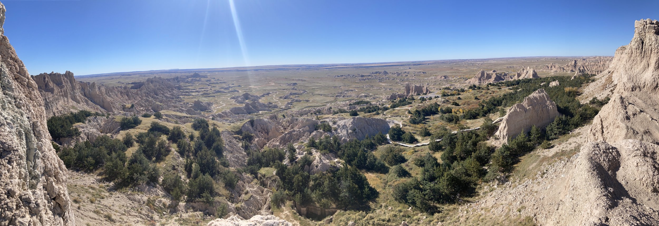
There are a lot of viewpoints along the Badlands Loop Road. Some can be skipped. Big Badlands Overlook should be a definite stop though. It’s the first viewpoint, plus it’s one of the best.
Pictures in the Badlands vary a lot by the time of day and where the sun is in the sky. The best pictures are when the sun is lower and the rocks have some level of shadow. The midday sun will wash out a lot of the colors in the rocks.
For anyone looking for a sunrise picture, Big Badlands Overlook is a great spot. The biggest challenge, though, is how to get to the viewpoint before the sun rises. Wall is the closest town which has hotels, and there are camping options available seasonally within the park. We’ve driven through the night along I90 a couple of times, and have simply enjoyed the sunrise as a benefit of a crazy road trip idea.
The pictures below are from our trip in October 2023. We arrived about an hour before sunrise. It was still dark while we got the camera set up. The boys woke up and asked what we were doing. They thought it was absolutely ridiculous that we were waiting for the sun to come up instead of sleeping. But then the sun actually poked up from the horizon, and we all watched the canyons before us light up in amazing colors. The teenagers were out of the car with us, excitedly taking pictures too.
Sunrise at Big Badlands Overlook - Oct 2023
Same viewpoint - there are some impressive rocks in several directions. The lighting makes the stripes on the rocks stand out.
There is a formal boardwalk with a viewpoint at the end. I don’t think it’s the best spot of all the options here to get great pictures, but there is a bench to sit down for those with a schedule that allows for some lingering.
Pictures at midday washout the rock color. This was from a trip in March 2010 with our Swiss exchange student, when I was pregnant with our younger son.
Trailhead locations near the Northeast Entrance to Badlands National Park
Door and Window Trails, Notch Trail, Cliff Shelf Nature Trail
3 - Unnamed pullout for views
Distance from Badlands Northeast Entrance: 2-ish miles - Being honest, I can’t quite pinpoint where on the map these pictures are taken from, but this is a favorite spot for us. I have several photos in this location across multiple years. It is in-between Big Badlands Overlook and Notch Trailhead though, and that’s less than a two-mile stretch.
Trail Information: This is a quick out-and-back from the car (less than 0.25 miles). There is not a formal trail; and note that there is a large descent on both sides of the path - if heights are an issue, this wouldn’t be a great place to stop.
An unnamed viewpoint with spectacular rock formations - March 2015 trip
From the parking lot, take the short walk down to the rock formations.
Walking down to the viewpoint from the parking lot - March 2012 trip
This is a short walk along a non-formal trail. It’s not very wide and there are drop-offs. Both boys loved Daddy carrying them over this slightly scary path, and they thought it was funny I was a little bit nervous walking along it.
Short path to some amazing views - March 2012
My oldest laughing at his mom, and feeling quite rebellious that he was allowed on the semi-scary trail - March 2012
4 - Door, Window, and Notch Trails
Distance from Badlands Northeast Entrance: 2.6 miles
Trail Information:
Door - 0.8 miles out-and-back with minimal elevation gain
Window - 0.2 mile out-and-back with no change in elevation
Notch - 1.55 miles out-and-back with an elevation gain of 120ft. This trail does require the use of a ladder. It wouldn’t be possible to carry a small child along this entire trail, and there are some significant drop-offs after the trail climbs the ladder.
Castle - 10.3 mile out-and-back - I haven’t hiked this trail yet due to its length and the amount of time that we typically have
Mountain sheep grazing off the road prior to the trailhead Door, Window, Notch parking area
There is a large parking lot for Door, Window, Notch, and Castle Trails. This is the first stop with pit toilet bathrooms, coming from the east.
Door Trail
The Door Trail starts out along a board walk, and then turns into a well-worn dirt trail. There is minimal elevation gain, and out-and-back this trail is less than a mile. This trail is great for young children as it’s an easy and short walk, and there are places to climb on the rocks and hide in the holes. Because the trails go right up along the rock formations, this is a good place to touch the rocks that have fallen on the ground and see how easily they crumble.
Door Trail - Can you hike while 20 weeks pregnant? Definitely! But pick trails near bathrooms and bring extra water.
Loving those rocks along Door Trail
Window Trail
Window Trail is entirely along boardwalks. There isn’t much to see that’s different than Door, but the trail is only 0.2 miles, so why not? This is also a great option for anyone that isn’t able to walk the entirity of Door Trail. There is no change in elevation along Window.
Window Trail - the trail hugs the rock wall. It’s surprising to realize how fragile the rocks are
Example of the little crevices that are great for playing hide-and-seek
Hiking story - when we were here in March 2012 for Spring Break it reached 80 deg F. The sun felt so wonderful after a long winter. There were still patches of snow along the Door and Window trails, and there were several snowballs thrown throughout these hikes. I remember thinking that I couldn’t figure out which was more weird - that it was 80 in March or that there was snow outside when it was 80..
Notch Trail
View from the end of Notch Trail
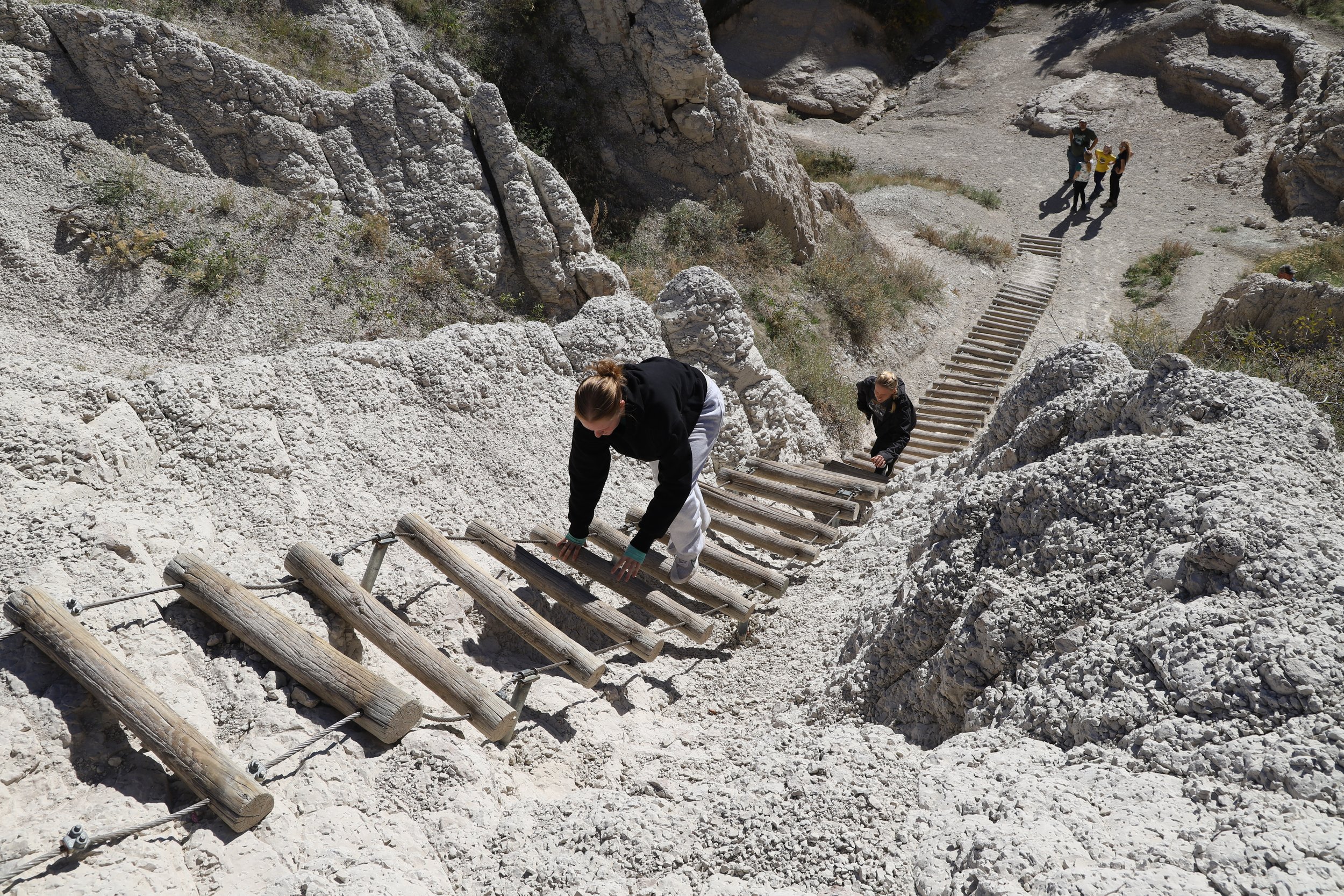
Notch Trail is my favorite hike in Badlands National Park. The trail starts off flat along a well-worn dirt surface, and then scales up a large 50 rung ladder, making it significantly more difficult than Door and Window. The rest of the trail is elevated along the rock surfaces, with some notable steep drop-offs. Similar to Door and Window, there are several places in the rock holes and crevices to explore and hide. Out-and-back, this trail is 1.55 miles. Most of the elevation is gained from the ladder, and a few spots that go up in the rocky section.
A little more commentary about the ladder - it’s fun to climb up and a bit more stressful to climb down. My youngest was 6 when he first did this hike. He had a blast on this trail because it wasn’t just a normal dirt path trail. On the way down the ladder, I went first to help him make sure his feet reached each rung. The rest of the trail I felt pretty comfortable with him being old enough to do some exploring.
Notch Trailhead
The first 0.33 miles of Notch are flat as the trail meanders towards the rocks.
Beginning of Notch Trail
Notch Trail eventually heads to the rock walls, and then scales up them with the ladder.
Hiking Notch Trail in Oct 2023
View from the trail before the ladder - June 2019
The ladder is anchored into the walls. It’s more like a steep set of stairs up the hill set in place to try and prevent erosion than truly a ladder. There are sections though that are steeper than others.
Notch Trail Ladder
One thing to consider for how long this hike will take is how busy it is. This ladder is one-way-only at a time, yet it’s an out-back trail, meaning there may be a wait at the top or the bottom for others to finishing climbing up or down. Hikers are pretty good at taking turns though, but plan for at least an hour for this hike, due to an expected wait time. It takes each person awhile to get down, so it doesn’t take too many people to slow this section of the trail significantly.
Climbing up the Notch ladder with our Danish exchange student
Notch Trail is quite beautiful below the ladder, but above it, it’s amazing! And unlike any of the other trails in the park.
View from the top of the ladder
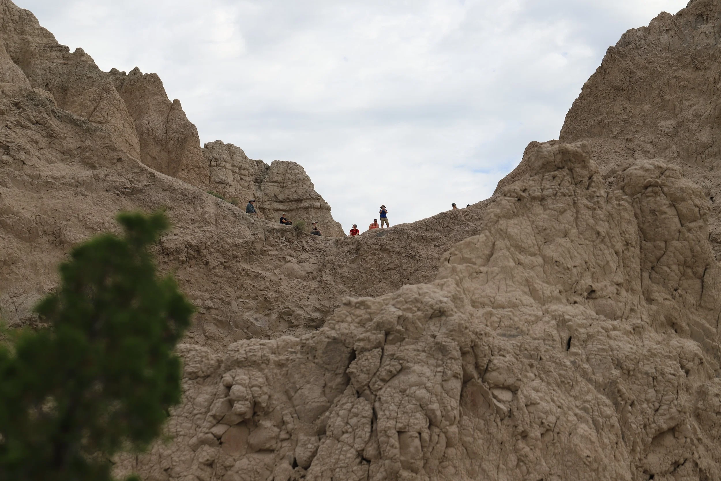
There is a well-marked trail along the rocks at the top of the ladder, and there are lots of places to explore beyond the formal trail. I love this trail because I feel like I’m in the middle of the scenery by being in these rocks.
View from around the corner past the ladder
There are some steep drop-offs to be aware of, but the trail stays away from the edges. I felt safe, even with my 6-year-old.
This is what the “trail” looks like - it’s obvious where to go, but it’s all along the rock surfaces
Just before the end of the trail, these rocks come into view. The trail doesn’t wind over there, but there’s an easy way to get there. There are some small spaces between the rocks to explore a short way, similar to small “slot” canyons.
At the end of the 0.6-mile hike, there is an overlook of the valley. The Ben Reifel Visitor Nature Center is visible, as well as the Cliff Shelf Nature Trail. Note that there are no connecting trails. Notch Trail is just an out-and-back.
Viewpoint from Notch Trail - The boardwalk is the Cliff Shelf Nature Trail.
Family Trip in Jun 2019 out to Yosemite with my in-laws, and yep, had to get out of the car at Badlands as we crossed the country along I90.
The prettiest views from Notch require just a bit more exploring. From the mainviewpoint, go left for a short distance and look straight ahead.
I couldn’t pick my favorite picture, so I’m sharing both. This is one of my favorite viewpoints in the park at the end of Notch Trail.
Second picture from the same viewpoint on Notch Trail.
I prefer loop trails, but the views do feel different along this out-and-back trail, and these rock formations are incredible.
Zoom in on this picture on the left-side to see the ladder on the way back
The scariest part of this trail is the trek down this ladder. Go slow. The other hikers prefer patiently waiting than carrying you back to the trailhead.
5 - Cliff Shelf Nature Trail
Distance from Badlands Northeast Entrance: 4 Miles
Trail Information: The Cliff Shelf Nature Trail is a 0.6 mile loop hike with an elevation gain of about 130ft. The entire trail is a boardwalk, and the elevation gain is due to multiple steps.
Cliff Shelf Nature Trail Map
The Cliff Shelf Nature Trail is very pretty. The entire trail is manmade over boardwalks and wooden steps, and it winds through scenery that looks up into the Notch Trail. Because the trail is manmade, there aren’t spots to go off-trail to explore or hide in rock cervices. I would pick Notch over Cliff Shelf for anyone short on time, but for anyone scared of heights, I’d reverse that recommenation and select this one instead.
Examples of the wooden steps along Cliff Shelf Nature Trail
These are pictures of the view from Cliff Shelf Nature Trail. Again, I’d recommend Notch Trail first because I like the trails where I feel part of the landscape. The views along this trail are of rocks pretty distant and it’s harder to feel as connected to the land. But for anyone that has extra time, or wants a railing for extra support, this is a nice trail.
Views from Cliff Shelf Nature Trail
More rock sculptures in the distance from Cliff Shelf Nature Trail
Looking up to the Notch viewpoint from the Cliff Shelf Nature Trail
3 - Unnamed pullout for views, 4 - Door, Window, and Notch Trails (pit toilets available). Connection available to Castle Trail, 5 - Cliff Shelf Nature Trail, B - Ben Riefel Visitor Center, 6 - Saddle Pass and connection to Castle Trail, 7 - Fossil Exhibit Trail and connection to Castle Trail, 8 - White River Overlook
B - Ben Riefel Visitor Center
Distance from Badlands Northeast Entrance: 4.5 miles
Trail Information: N/A - There are no trailheads from the Ben Riefel Visitor Center
I would recommend stopping at the Ben Riefel Visitor Center. Request a Junior Ranger booklet for any kids (or adults that would like to learn more about the park) and stop for a bit to watch the movie. This movie is the only thing in the park that I know of in the park that explains how these rocks were formed, and this terrain is so different than something hard like a mountain. The only other place I’ve found so far like the rocks in Badlands is Cathedral Gorge in Nevada (post linked).
6 - Saddle Pass Trailhead
Distance from Badlands Northeast Entrance: 7.5 miles
Trail Information: Saddle Pass is a 0.8 mile out-and-back hike with a 200ft elevation gain. Saddle Pass can also be used to access Castle Trail, a 10.3 mile loop. Note that I have not hiked Castle Trail yet due to typically not having enough time while we are at this park.
Saddle Pass is in pink and the Castle Trail is in blue
We’ve only hiked Saddle Pass once, in 2010, when Chris and I were on our first kids-free vacation. We were on our way to the Oregon coastline travelling along on I90, so yep, had to stop at Badlands. While I remember the trip well from twelve years ago, I don’t remember the trail in detail, so I’ll just share our pictures.
Beginning of Saddle Pass Trail
Hiking Sadle Pass Trail
We brought a tripod for pictures - don’t expect their to be many other hikers to take your picture
Viewpoint from Saddle Pass
Another viewpoint along Saddle Pass
Saddle Pass Trail
Saddle Pass is a pretty trail, and worth a stop. Notch is my favorite, but Saddle Pass is probably second, and looking through these pictures, I’m realizing I need to hike this again on our next trek through the park. This is a hard packed dirt trail, and I know we wondered a bit off trail as well at moments to get better views.
7 - Fossil Exhibit Trail
Distance from Badlands Northeast Entrance: 9.5 miles
Trail Information: Fossil Exhibit Trail is a 0.25 flat trail along a boardwalk with interpretive signs. There is also a connection to the Castle Trail across the road.
Fossil Exhibit Trail map
We stopped at the Fossil Exhibit Trail in March 2014. We hiked both the Fossil Exhibit Trail as well as explored up the hill along the Castle Trail a short ways. All of the pictures below unfortunately are from the Castle Trail, although the Fossil Exhibit Trail boardwalk is visible in the background. The interpretive signs are interesting, but by this point in our trip with two teenagers from Germany and South Korea and our own sons 6 and 2 years old, we just needed to get out the car and move more than just along a short boardwalk, and no one really wanted to read much from signs. I did like this section of the Castle Trail, however we didn’t explore very far.
This is from Castle Trail looking back towards Fossil Exhibit
Look in the background on the left to see the Fossil Exhibit boardwalk, and on the right there is a bathroom (pit toilet) visible at the parking lot.
Our South Korean student having a blast on his trip out west in the United States
You might be wondering what we were doing with two exchange students and very young kids, and I will admit this road trip all the way to the Grand Canyon has been our craziest road trip, thus far anyway. But I wouldn’t have changed anything. I’m sure this trip will be remembered forever by our “kids” even if our actual sons who were too young to remember much.
March 2014 - from Castle Trail just across from Fossil Exhibit
Badlands Loop Road: 8 - White River Valley Overlook, 9 - Bigfoot Pass Overlook, 10 - Panorama Point
8 - White River Valley Overlook
Distance from Badlands Northeast Entrance: 12 miles
Trail Information: Minimal walking is needed. At most, expect to walk 0.1 miles along dirt paths to the best view.
View from White River Valley Overlook
This is going to be a short stop since there isn’t anywhere to walk, but White River Overlook is my second favorite viewpoint (after Big Badlands Overlook).
Different angle at the White River Valley Overlook
9 - Bigfoot Pass Overlook
Distance from Badlands Northeast Entrance: 13 miles
Trail Information: Less than 0.1 miles
View from Bigfoot Pass Overlook
For anyone short on time, I think Big Foot Pass could be skipped. It feels a bit more of the same and it’s not as pretty as the White River Valley Overlook just a mile to the east. There are bathrooms (pit toilets) though, which may be a reason to stop, and there is a nice bench to sit on for a bit.
Bigfoot Pass looking the other direction
10 - Panorama Point
Distance from Badlands Northeast Entrance: 14 miles
Trail Information: There are two short trails at Panorama Point, totaling less than 0.1 miles. Both are flat.
Badlands Panorama Point
Panorama Point gets my third (and final) shoutout for being an amazing viewpoint that shouldn’t be missed. This viewpoint gives some perspective on just how big this park is.
Badlands Panorama Point view
Badlands Panorama Point view from a different angle - the rock formations go on and on
I’m going to skip over several viewpoints as I don’t think they are worth stopping at, but I will point out that there is a large prairie dog town just west of Prairie Wind Overlook. There isn’t a great place to stop and take pictures though, so drive slow and ask the person in the passenger seat to have their camera out.
This prairie dog is from the Prairie Homestead (on the very eastern side) - there isn’t a great spot to stop here to take pictures along the road, although there will be multiple towns viewed from the road.
Badlands Loop Road: 11 - Conata Basin Overlook, 12 - Yellow Mounds Overlook, 13 - Ancient Hunters Overlook, 14 - Pinnacles Overlook
11 - Conata Basin Overlook
Distance from Badlands Northeast Entrance: 22 miles
Trail Information: There is a short (<0.1 mile) trail at the viewpoint
Badlands view from Conata Basin Overlook
This viewpoint is rather meh. We stopped purely so I could take a picture for this blogpost as it had been awhile along the road since we’d chosen to stop at a viewpoint. It’s still incredible, but not as good as Big Badlands, White River Valley, and Panorama Point.
12 - Yellow Mounds Overlook
Distance from Badlands Northeast Entrance: 23 miles
Trail Information: No formal trail, but there’s hard packed dirt trails that stretch about 0.1 miles out-and-back.
Badlands - Yellow Mounds Overlook
Although not a fantastic overlook, Yellow Mounds is extremely interesting to stop at. This is the one spot in the park where the rocks are very yellow, and that makes the pictures quite pretty. The yellow color comes from the mineral Goethite, found in fossilized soil.
The rocks at Yellow Mounds are distinctly different in color than the rest of the Badlands
13 - Ancient Hunters Overlook
Distance from Badlands Northeast Entrance: 25.5 miles
Trail Information: N/A - No formal trail
View from Ancient Hunters Overlook
The view from Ancient Hunters Overlook is also pretty, but the reason I love this part of the park is actually the Mountain Sheep. I think we’ve seen Mountain Sheep every time we’ve visited somewhere near Ancient Hunters Overlook. Typically we spot them just from the road, and often we’ve observed them up on the hills of the rocks near the road as it curves.
Mountain Sheep at Ancient Hunters Overlook
More Mountain Sheep at Ancient Hunters Overlook
Baby Mountain Sheep at Ancient Hunters Overlook
Another Mountain Sheep - this one was just crossing the road near Ancient Hunters Overlook
I’m assuming the ancient hunters hunted mountain sheep? I don’t actually think that’s true - they could probably simply see the bison from this viewpoint, but there are a lot of mountain sheep that seem to hang pretty close this area.
14 - Pinnacles Overlook
Distance from Badlands Northeast Entrance: 26 miles
Trail Information: Short 0.1 mile out-and-back flat trail
View from Badlands Pinnacles Overlook
For anyone travelling from the east, there’s been so many viewpoints by this point, it’s not going to be worth it to stop at Pinnacles Overlook even though it is another gorgeous viewpoint. But for anyone traveling from the west, this would be a great place to stop first and get a view of the Badlands.
View from the Badlands Pinnacles Overlook
It’s silly, retrospectively, but we’ve never explored down Sage Creek Rim Road to see what that part of the Park looks like. Because we come from the east, by this point in our journey, we are always running behind and pushing to get to Wall before supper and the café closing.
I said I would point out locations for animals in this post, but so far I haven’t mentioned bison. We’ve seen them in several different parts of the park throughout our many trips, but if I were to make a bet on where to find a bison, it would be between Pinnacles Overlook and Pinnacles entrance to the park.
Bison near the Pinnacles Entrance to the Badlands
Badlands Stronghold Unit (in Pine Ridge Reservation)
Map through the Badland’s Stronghold Unit, including Sheep Mountain (15), White River Visitor Center (D), and Cedar Butte (16). For reference, B - Ben Riefel Visitor Center, 6 - Saddle Pass, 7 - Fossil Exhibit Trail
As I was looking at the Badlands National Park official map last fall, trying to figure where we should hike for our October 2023 trip, I realized we had never been to the second half of the map, which includes the Stronghold Unit. This part of the park is in the Pine Ridge Reservation. It takes about an hour to drive between the Ben Reifel Visitor Center and the White River Visitor Center.
15 - Sheep Mountain Road
Distance from Badlands Northeast Entrance: 40 miles
Trail Information: N/A - This is a road rather than a hiking trail, however, this road requires a vehicle with high clearance wheels to make it all the way up the 7.2 mile road (one-way). Another option is to drive until the road gets too rough, park, and hike the rest of the way.
Map of Sheep Mountain Road
The drive from Ben Reifel to the beginning of Sheep Mountain Road takes about 45 minutes. The scenery is pretty similar to the Badlands Loop. Don’t expect to find any services - no gas, food or water, and there won’t be many other people either. This is a very remote section of the park.
Sheep Mountain Road
Sheep Mountain Road starts off as a fairly well maintained dirt road. We were traveling in a minivan, and we made through the flat section comfortably, as well as up the hill. We were able to stop at a lookout from the top, all on a road that even a small car should be able to drive. About 5 miles into the road, there were several large holes. We’ve popped two tires on our minivan due to my adventurous hiking ideas, and not wanting to make it a third time, especially in a spot where if we got stuck we were sure it would be awhile before anyone would come by to see us and perhaps be able to help, we ended up turning around.
Since we were already up at the top and felt like we could see the valley below us, we decided to just turn around rather than hike to the end of the road. We wanted to have enough time to also hike Cedar Butte.
View from Sheep Valley Road
I would like to go back some day and hike out to the end of the road. I think our assumption that we had essentially seen the whole valley may have been wrong. I’ve seen pictures on AllTrails that don’t match what we saw. I’d like to go back and hike out-and-back to the end of the road and confirm if that’s where the castle spire-shaped rocks are at.
For anyone on their first time visiting the Badlands, I wouldn’t recommend the drive out here. There are so many other things to see and do just from the Badlands Loop Road. For anyone with extra time though, drive in as far as the car can make it, and just hike out-and-back to the end.
D - White River Visitor Center
Distance from Badlands Northeast Entrance: 58 miles
Trail Information: N/A
Prairie dog town right next to the White River Visitor Center
We tried to stop at the White Valley Visitor Center but it was closed on the day we visited. It’s just a trailer, not an official building, but I still would have liked to explore it and get a chance to talk with the rangers. I know there are also ranger-led hikes out of White River Visitor Center on certain days. Unfortunately, we weren’t able to make one of those days fit with our trip plans, but it’s another thing I’d love to do on a future trip to the Badlands.
16 - Cedar Butte
Distance from Northeast Entrance: 60.5 miles (approximately 2.5 miles from the White River Visitor Center)
Trail Information: No formal trail. We wandered about 0.5 miles. AllTrails maps this as 1.3 miles. I’m assuming this is the distance to walk out to the rock cliffs, loop along the wall and hike back.
Map of Cedar Butte trail and the location of White River Visitor Center
On the handful of Native American Reservation that I’ve hike on, the trails aren’t formally marked with a dirt or rock path. That’s the case with Cedar Butte. It was a fun place to wander, but felt like we were trespassing, without having a formal trail that we were used to staying on.
View of Cedar Butte from the road
There is a formal parking spot. This clearly marks the location of the Cedar Butte trailhead. It’s directly off of the highway.
Parking lot for Cedar Butte trailhead
After parking the car, it felt like chaos and as I mentioned, trespassing. There is no trail, but there is a barbed wire fence. Per the National Park website, you need to climb over the barbed wire fence. So after wandering up and down the fence a ways, looking for an expected break in it, of which there wasn’t one, we climbed over it, as directed by the website.
Climb over the barbed wire fence to hike at Cedar Butte - this is going to feel weird… And it’s a challenge with shorter children.
As there wasn’t a trail, from here we just wandered out a bit and turned back.
Cedar Butte - Badlands Pine Ridge Reservation
We saw a herd of mountain sheep wandering through the field and up the mountain, while we were exploring Cedar Butte.
Cedar Butte - Mountain Sheep
There are images of amazing castle spire rocks on AllTrails. These views are not from the Cedar Butte trail. It’s flat. I didn’t feel comfortable scaling up the rock without a trail, but even still, there aren’t large fields of rocks behind what’s in front of you. The same images appear on Sheep Mountain for AllTrails. We didn’t travel all the way out to the end of Sheep Mountain due to our car not having high enough wheel clearance. I think these images must be from the end of the Sheep Mountain road though, not Cedar Butte. I’d like to go back and explore the last part of the road by foot to confirm though. I would suggest Sheep Mountain over Cedar Butte as a result of this assumption, and just plan to hike out and back from wherever you decide to pull the car over.
Non-Hiking Points of Interest and Nearby Activities
Hiking Trails and Viewpoints (blue)
11 - Conata Basin Overlook, 12 - Yellow Mounds Overlook, 13 - Ancient Hunters Overlook, 14 - Pinnacles Overlook, 15 - Sheep Mountain Road, 16 - Cedar Butte
Non-hiking points of interest and other activities (green)
C - Badlands Pinnacles Entrance, E - Wall Drug, F - Minute Missile Visitor Center, G - Minute Missile Delta-01 (launch site - requires pre-purchased tour tickets), H - Minute Missile Delta-09 (missile site)
E - Wall Drug, SD
Distance from Badlands Northeast Entrance: 25 miles following I90
Distance from Badlands Pinnacles Entrance: 8 miles
Trail Information: N/A - This is a silly tourist stop; there is no hiking.
Wall Drug Store Cafe
To me, Wall Drug is part of going to the Badlands. Except for our trip during the pandemic, we’ve stopped at the café for lunch or supper each time we’ve visited. For anyone traveling next to the Black Hills, Rapid City is still an hour away from Wall, SD, and there isn’t much for food in-between. The café closes at 6pm though, so be mindful of the time at Badlands if you plan to stop here for food.
Just a quick background - Wall is a small town in South Dakota. Wall Drug is the main stop in Wall. It includes the main café (those free water signs you’ve been seeing for hours along I-90) and several gift stores that are all connected. In the summer months, behind the café and gift stores is a place referred to as the Backyard. This is where to find the animated and pretty life-like T-Rex. Both of my boys were fascinated and terrified by this roaring dinosaur. It is scary, so for anyone traveling with younger kids, be mindful of potential fear. The Backyard also has some silly things to take pictures of - like a giant jackalope and a small Mount Rushmore, and there are some gift stores more aimed at younger-aged children. The Backyard section of Wall Drug is typically only open in the summer months, but one March that was particularly warm, they opened it just for the weekend on a Spring Break trip.
One other thing to be aware of is Sturgis - an annual huge meet-up of motorcyclists. This is in early August. Wall Drug will be crazy busy during these dates.
Wall Drug T-Rex in the Backyard
Famous Jackalope of Wall Drug
Mini Mt. Rushmore and my boys when they were still young enough to be silly
To get to Wall Drug, drive down South Blvd, turn on Main Street. The main stores are between 5th and 6th Avenue. There will be shops on both sides. Keep walking all the way to the back towards the Wall Drug Backyard. The café is more towards the front.
One other note on traveling through Wall Drug with kids that I’m going to re-iterate – there are gift shops everywhere. We are clear with our boys before we get out of the car what our purpose is (getting one thing or not getting anything besides food) to avoid spending too much time wondering through the shops. As always, I have a tough schedule to stick to on my trips.
F - Minuteman Missile National Historical Site Visitor Center
Distance from Badlands Northeast Entrance: 5 miles
Humbling sign at Minuteman Missile Site - the whole visit is humbling; realizing how much power to destroy is just at our fingertips
I hadn’t heard of the Minuteman Missile site until planning for our last trip to the Badlands. I was looking for something different to do, and found it on Google Maps. The reason I hadn’t noticed this site before is that it’s between the Northeast and Pinnacles entrances of the Badlands, and I’ve never been on this stretch of I-90 - we always stop and exit at Badlands.
Note that there are 3 different locations to see everything at the Minuteman Missile Site - Historical Site Visitor, Launch Control Delta-01, and the Missile Silo Delta-09.
Build up of nuclear warheads during the Cold War
The Minuteman Missile Site Visitor Center has movie about the Cold War and the nuclear warhead build-up. There is some pretty scary information about close calls that have happened over the years. Some of the information is redundant with the tour of the launch control at Delta -01, but both the movie and tour are worth the time.
There is also a large exhibit at the visitor center. The images below were the most impactful maps and graphs, to me at least.
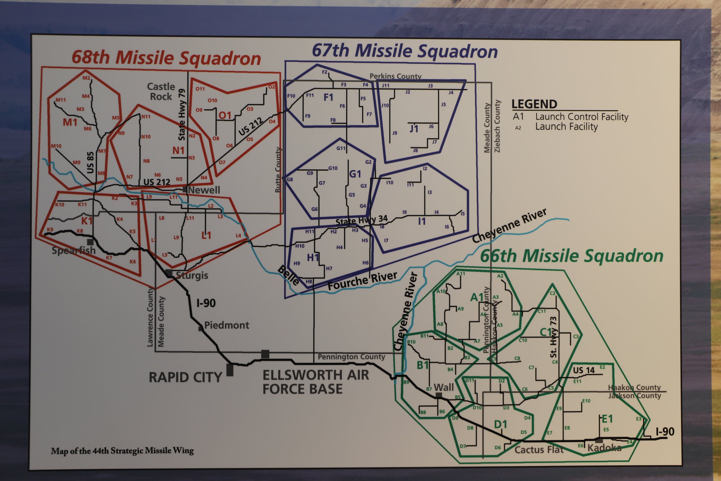
Locations of the minute missiles
The information is presented a little bit as in the past, and as this is on public display, I’m assuming we have our current missiles are in different locations. We asked, and everyone was fine with us taking pictures.
On the tour of the launch control at Delta-01, they talk about reinforcing the bunker for both how the ground would shake as the missiles take off, as well as what would happen if these sites were targeted in an attack; thus, why these sites needed to be in the Midwest Plains, where there is plenty of space and not many people.
Map of missile squadron - D1 in the lower righthand is the Missile Launch Control Delta-01 which can be toured with pre-purchased tickets.
G - Minuteman Missile Launch Control Delta-01
Distance from Badlands Northeast Entrance: 8 miles
Distance from Minute Missile Visitor Center: 5 miles
Above-ground facility of the Delta-01 Launch Control Facility
Other than the barbed wire fence and a paved area big enough for a makeshift basketball game, this spot doesn’t look a lot different than a large farm house on the plains.
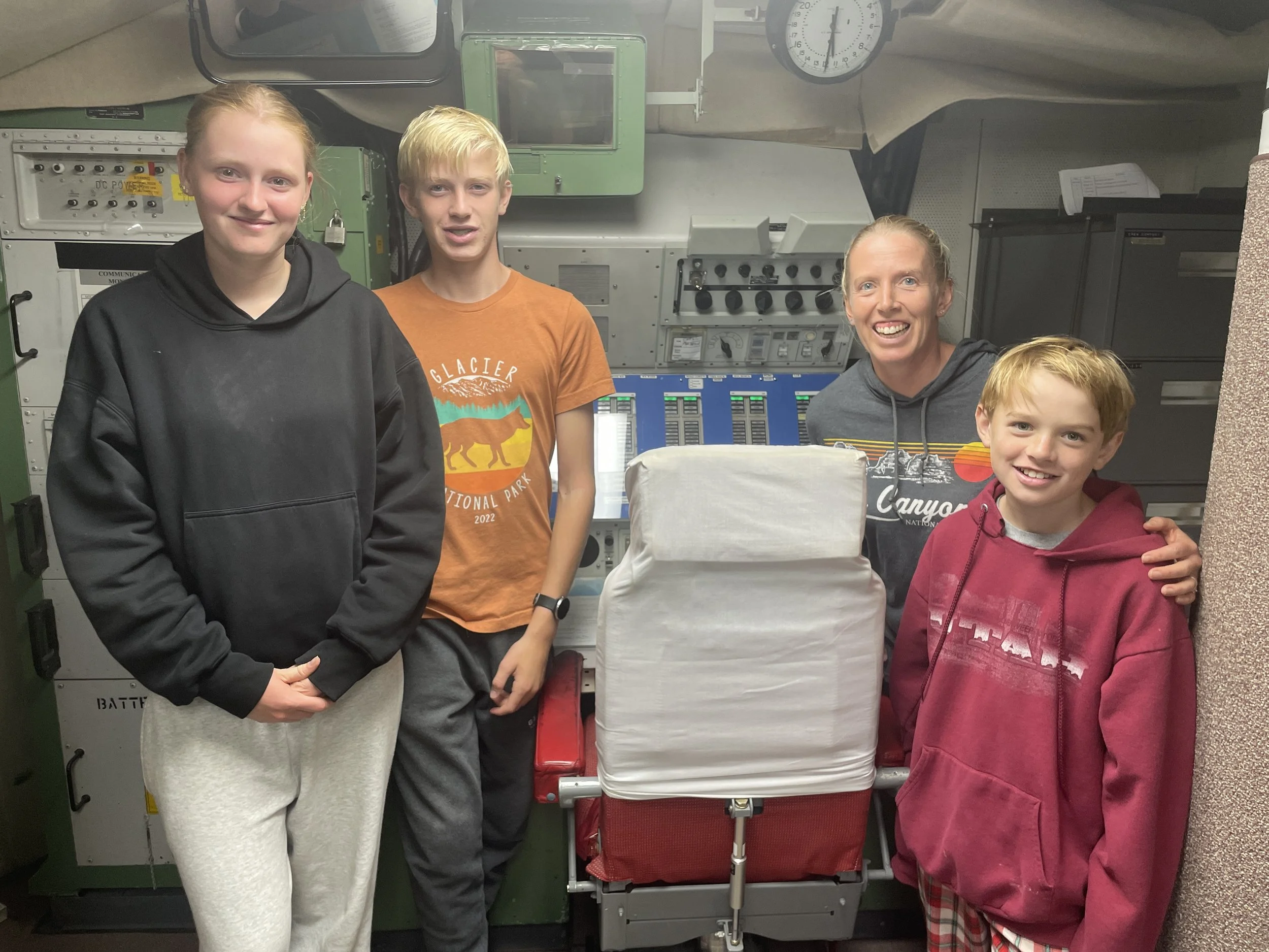
The location of missile launch is below-ground. It was required that two people be present at all times, so the launch of missiles could never occur by the hands of just one person.
To see inside past the fence, pre-purchased tickets are required. Look up Minuteman Missile National Historic Site in the National Park Service to purchase tickets online. There is also a phone number to call and purchase tickets. Currently the tours only allow 6 people at a time, so the spots fill up quickly.
Below-ground, prior to entering the silo, two people were always required
Standing next to one of the chairs that would be used during the time of attack
At the end of the tour, they play the various alarm sounds that would be made in preparation if orders were given to launch a weapon. It’s the most impactful part of the entire visit, and we are so thankful to live in a world where those alarms have not yet been raised.
H - Minuteman Missile Silo Delta-09
Distance from Badlands Northeast Entrance: 19 miles
Distance from Minute Missile Visitor Center: 16 miles
When planning our trip, I thought to purchase the Launch Control tour tickets ahead of time and look at the Visitor Center hours. Somewhat naively, I assumed the missile site would be more like a rest area that people could just drop by and look at it. While there are no tickets required, the hours the missile silo site is open are very limited. The site is not open on Sunday and it closes by 3pm Monday - Saturday. Had we realized this earlier, we would have started here, but we stayed too late at the Visitor Center, and the Silo site was closed. We didn’t pass back along I90 until Sunday on our way home, and as it was closed, we missed it a second time. We seem to end up on road trips along I90 frequently though, so this will be a stop that we get to make in the future.
Other Things to Do Nearby
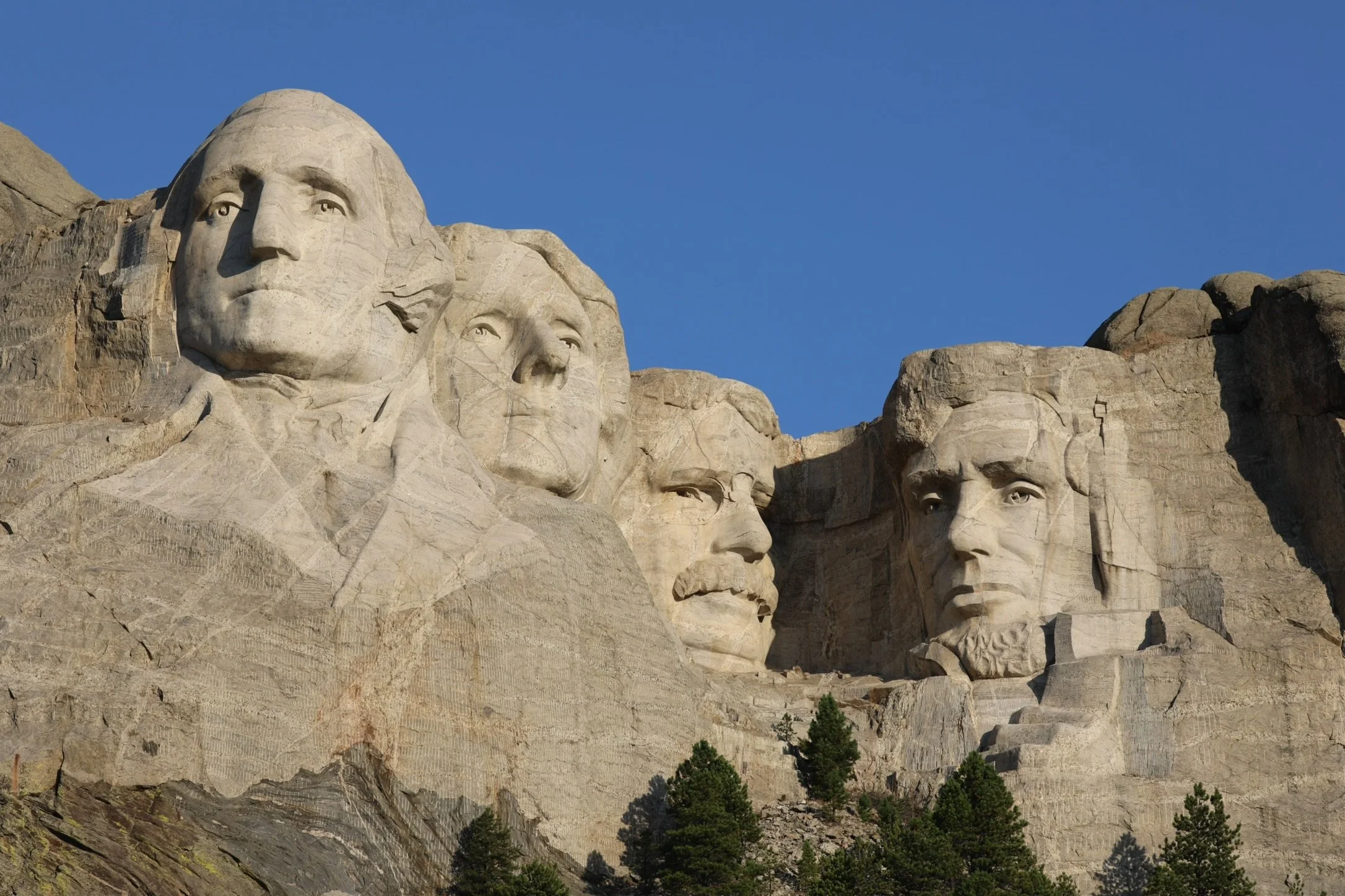
For other things to do nearby, check out my Black Hills Family Vacation Guide. A trip to the Black Hills can easily last a week. My favorites include Mount Rushmore, Slyvan Lake, Custer State Park, and Jewel Cave.
























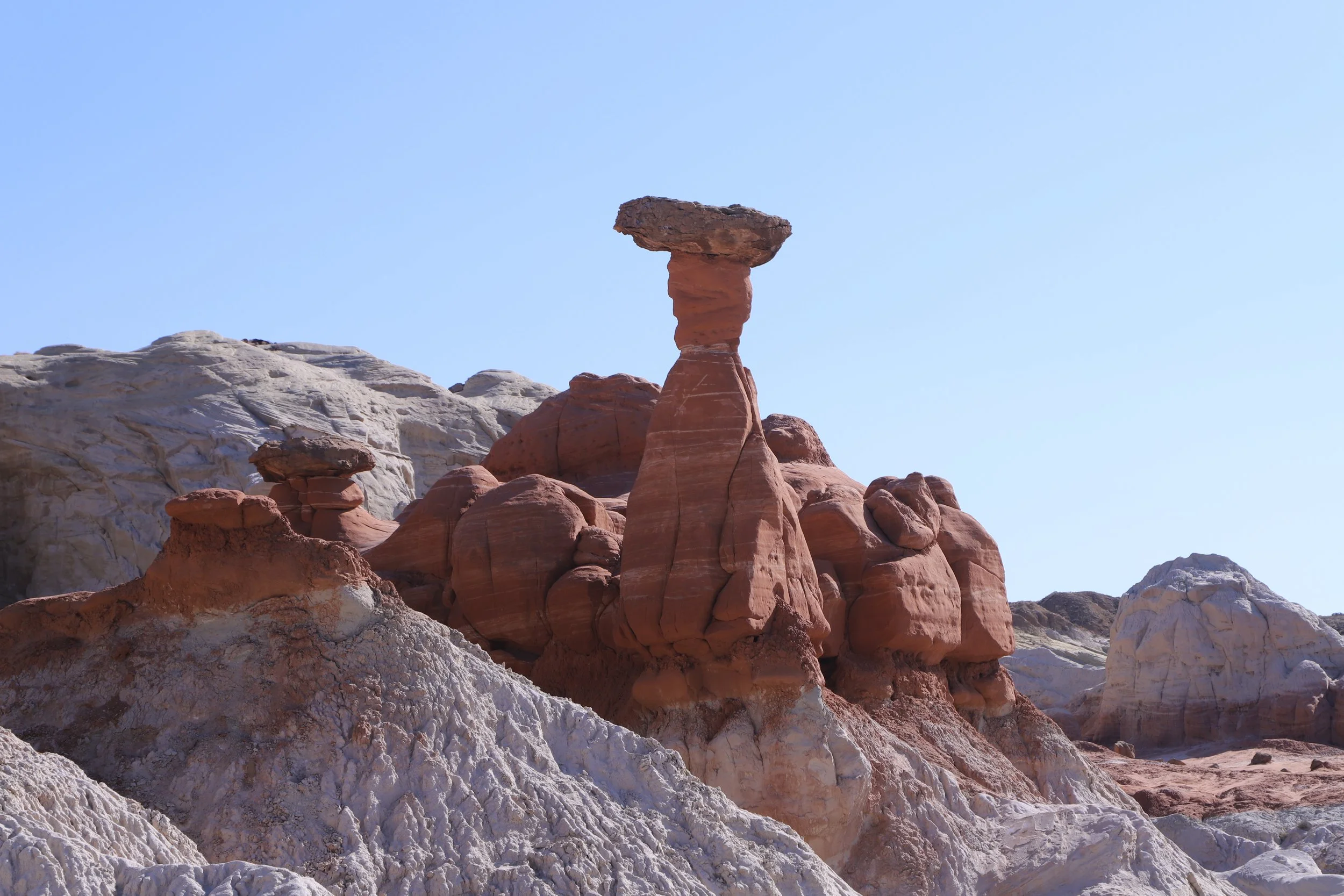
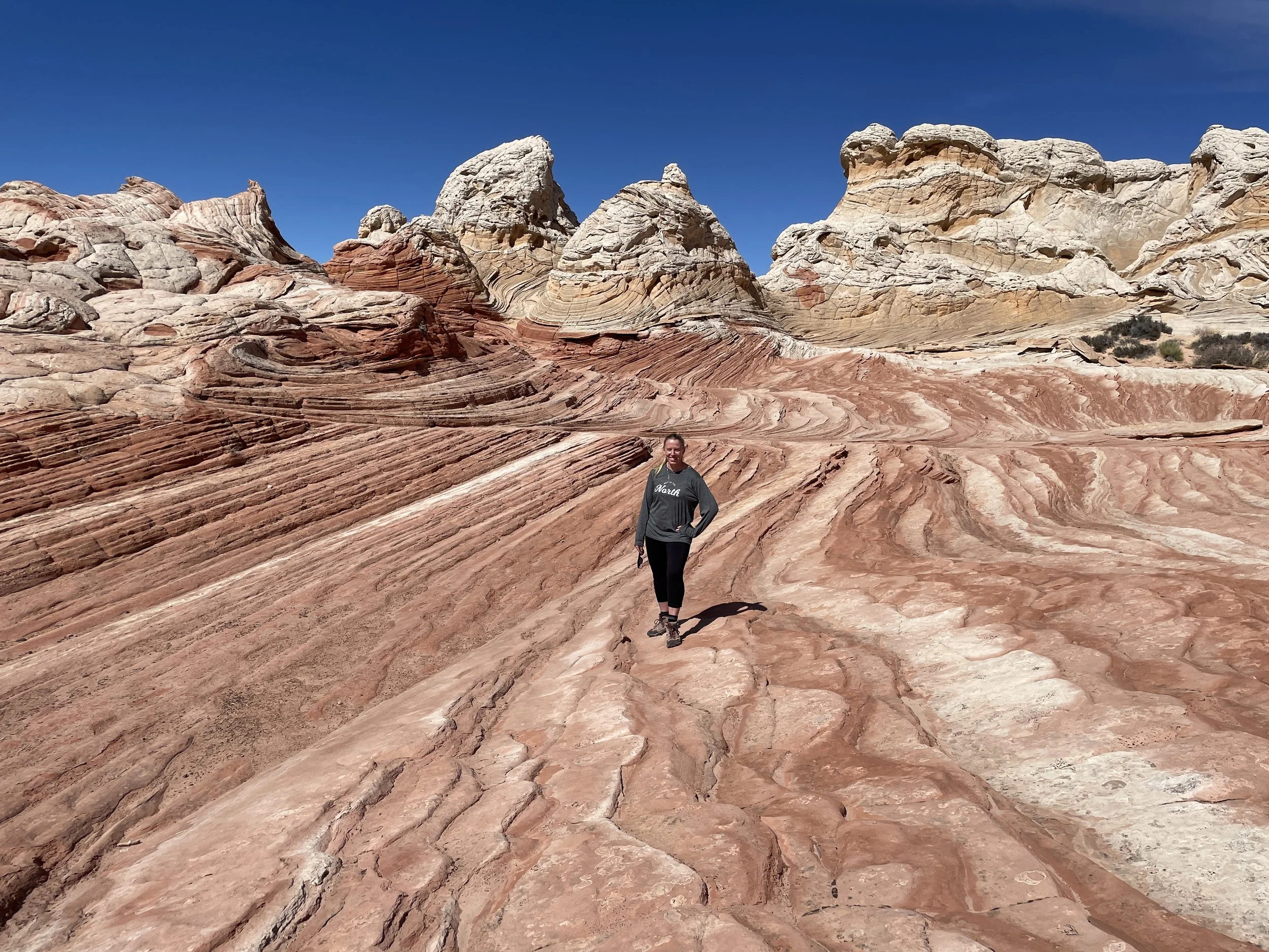
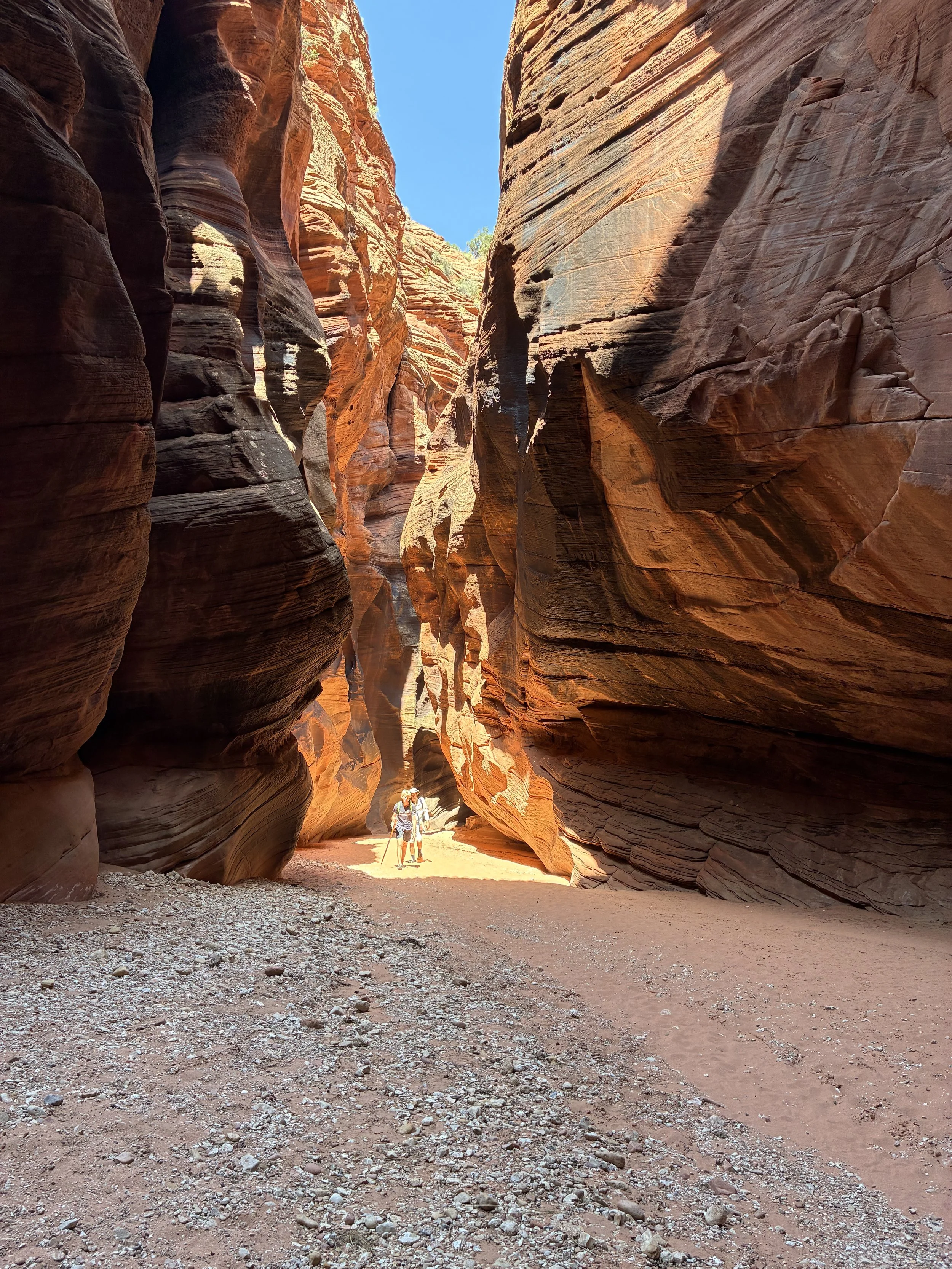

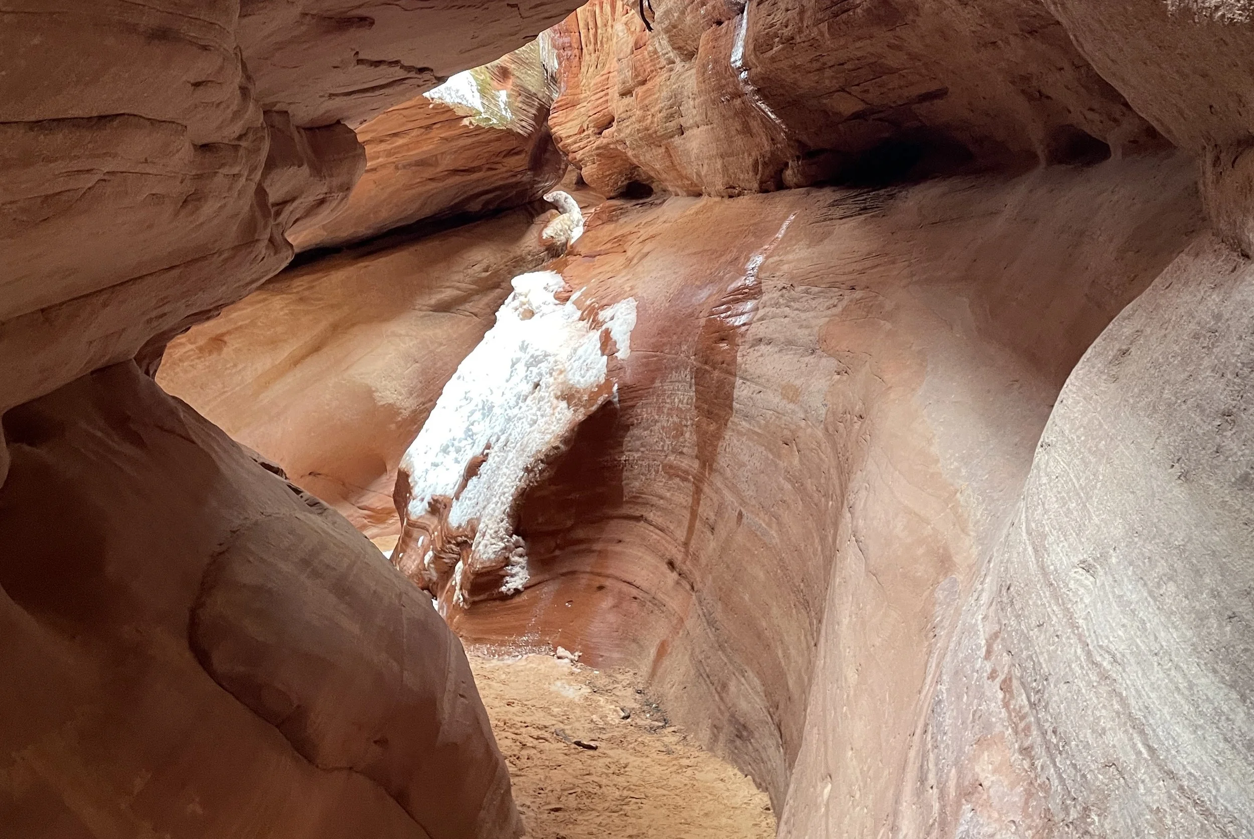


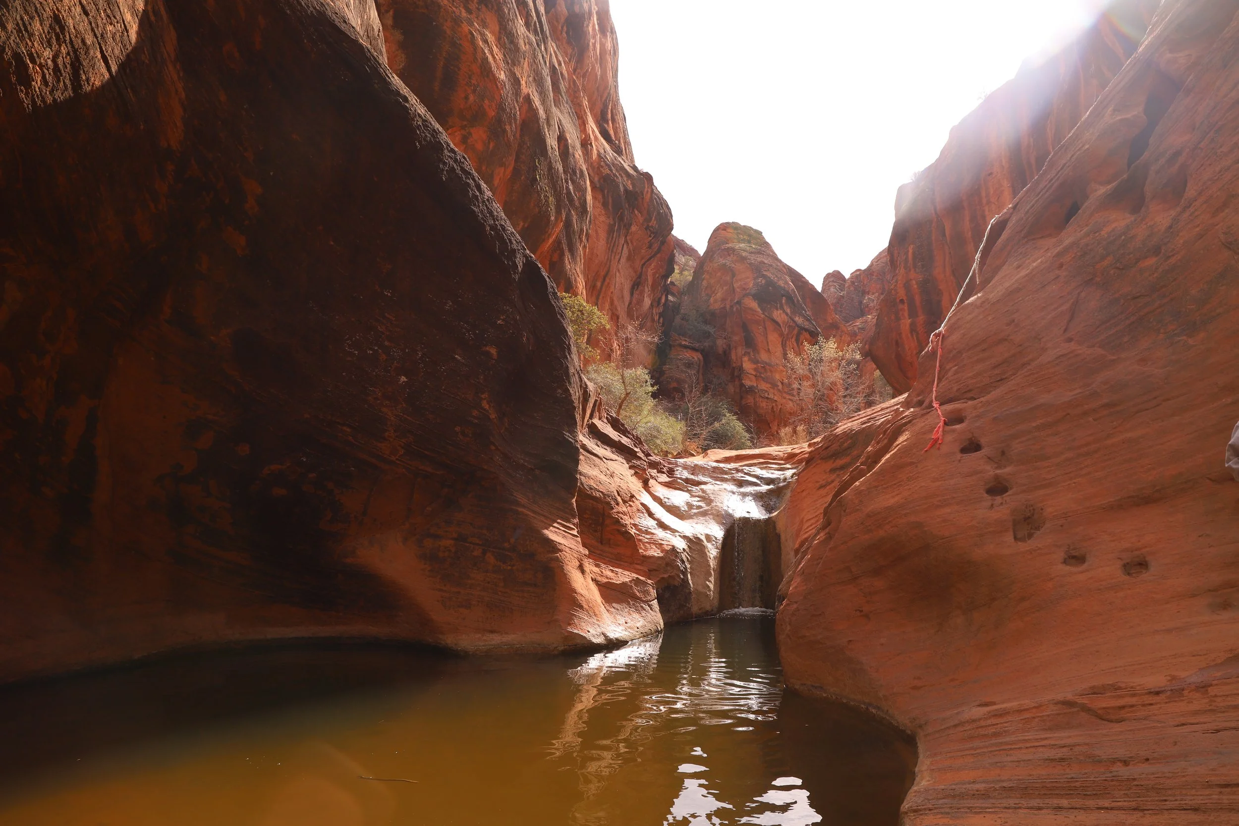


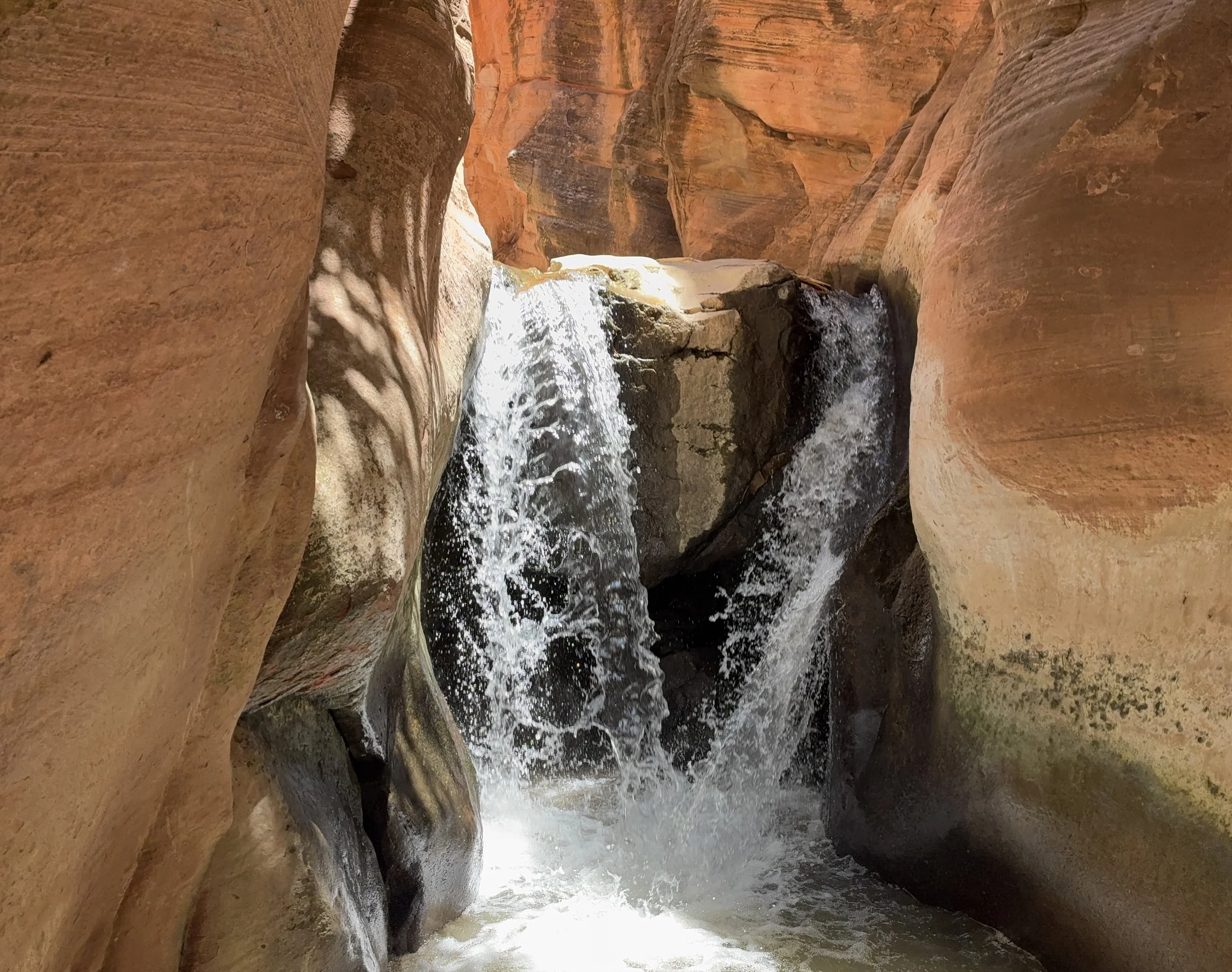
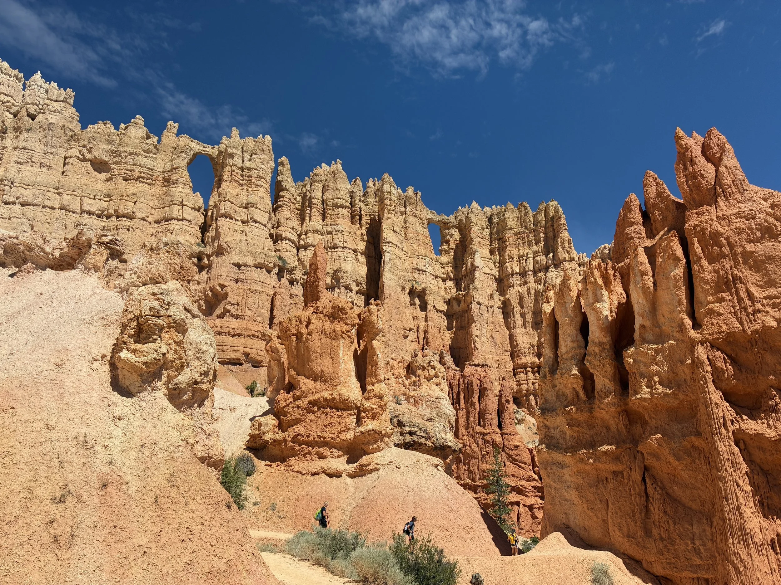


Antelope Canyon is an incredibly beautiful slot canyon in Page, Arizona. The canyon has intricately cut walls that will play with your imagination. There are three entry options - Lower Antelope Canyon, Upper Antelope Canyon, and Rattlesnake Canyon. All entries are on Navajo Tribal Land and therefore all three places require both admission to enter the park and a pre-purchased ticket for a tour at a specified time. Inside the canyon, the floor is sandy and flat. The walls are tight but don’t require squeezing. To get into the canyon, steps and ladders are required on some tours, and all tours involve at least a short walk through the desert (which is going to be hot in the sun in the summer). I have links to other slot canyon hikes at the end of this post (most of which are free or just cost the admission of the park).